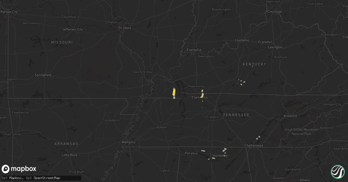
Hail Map on July 21, 2024
Get this storm
July 21 map
$229
one time, instant access
Download today. No call, no setup
Keep the $229
Bought the map and want the full workflow? Apply the entire $229 to a subscription within 7 days. None of it is wasted.
Every map, not just this one
This buys you this map. Subscription and you get every map we run, in the markets you choose from a few cities to whole states to nationwide. Plus real-time alerts the moment a storm fires.
Contact data
Name, contact info, occupancy, even credit band for addresses in the footprint. You go from where it hit to who to call.
Become the source they trust
Unlimited branding weather history reports on demand. You already have the documented answer ready for the property owner, and you are the one who showed up with it.
Property data and RoofTrace estimates
Pull up any address you have got, its value and the exact code rules for that jurisdiction, straight from One Click Code. Then RoofTrace estimates the squares, pitch, and roof value, priced the way you price.
States Impacted by Hail Map on July 21, 2024
Storm reports
Kentucky
| Date | Description |
|---|---|
| 07/20/20249:20 PM CDT | Pole barn destroyed. |
| 07/20/20249:20 PM CDT | Several reports of trees down across central and northern calloway county. Over 1...200 without power. |
| 07/20/20249:20 PM CDT | Late report. Roof completely blown off of concrete building on ingram lane. Additional residence on crestview lane has substantial tree damage. |
Florida
| Date | Description |
|---|---|
| 07/20/202410:00 PM CDT | Corrects previous tstm wnd dmg report from 4 ne windley key. A wet microburst impacted portions of the indian mound community of plantation key around 11 pm edt on sund |
| 07/20/202410:00 PM CDT | Numerous trees reported down on plantation key. Approximately 1100 residents were without power. Monroe county sherriff office reported a tree down on us 1. Time approx |
North Carolina
| Date | Description |
|---|---|
| 07/21/20245:00 PM CDT | The wilkes county 911 center reported that a number of trees were down throughout the evening in the moravian falls... Rhonda... Roaring river... And windy gap area. Gi |
| 07/21/20244:24 PM CDT | A tree was down in the 560 block of orchard view drive in mt. Airy. Both lanes of traffic were blocked from the downed tree. |
| 07/20/20248:07 PM CDT | The surry county 911 center reported that a tree was down at the intersection of anderson road and miller gap road in the siloam area. The downed tree was blocking both |
California
| Date | Description |
|---|---|
| 07/21/20245:20 PM CDT | Sensor at mcgee meadow in the owens valley measured 58 mph gusts from nearby thunderstorms. |
New Mexico
| Date | Description |
|---|---|
| 07/20/20249:43 PM CDT | Akelw1 - up268 mesonet site. |
| 07/20/20249:11 PM CDT | Mesonet station sevn5 contreras 1 ese |
| 07/20/20248:33 PM CDT | Asos station kabq albuquerque intl sunport. |
Arizona
| Date | Description |
|---|---|
| 07/21/20246:01 PM CDT | Mesonet station qsta3 stanton. |
| 07/21/20245:30 PM CDT | Mesonet station qhba3 humbug creek. |
| 07/21/20244:20 PM CDT | A roof was damaged and a small building was blown over a fence and destroyed in the coyote springs area of prescott valley. Time estimated from radar. |
| 07/21/20244:19 PM CDT | Corrects previous non-tstm wnd gst report from 1 ene prescott airport. Asos station kprc prescott airport. |
| 07/21/20242:31 PM CDT | Phone call received for trees down |
| 07/20/20247:53 PM CDT | ***delayed report*** mesonet station azm19 10.6 w gila bend |
| 07/20/20247:26 PM CDT | Trees are down in rita ranch caused by thunderstorm winds. |
| 07/20/20247:15 PM CDT | Damage to a few manufactured homes near valencia rd and cardinal ave. |
| 07/20/20247:13 PM CDT | Electric equipment damaged du to weather causing power outages for roughly 1800 people. |
| 07/20/20247:01 PM CDT | Asos station kols nogales international airport measured wind gust of 58 mph. |
Alabama
| Date | Description |
|---|---|
| 07/21/20246:36 PM CDT | Report of a tree across the roadway in decatur... Al. |
| 07/20/20247:20 PM CDT | Tree down across the road at west chapel hill road and old moulton road. |
| 07/20/20247:20 PM CDT | A tree was knocked down and blocking the roadway on sharp ford road near somerville. Time estimated by radar. |
Nevada
| Date | Description |
|---|---|
| 07/21/20245:37 PM CDT | Seven mile raws |
| 07/21/202412:01 AM CDT | Mesonet station ntgnv 14.1 sw trinity junction |
| 07/20/20249:30 PM CDT | Mesonet station nbng 3.2 ne lahontan reservoir |
| 07/20/20248:15 PM CDT | Mesonet station srznv 4.6 ne schurz |
Tennessee
| Date | Description |
|---|---|
| 07/21/20246:15 PM CDT | Time estimated by radar. Large trees down... Fence damaged... And an hf radio antenna is down due to thunderstorm winds. |
| 07/21/20243:52 PM CDT | Tspotter reports indicate a few trees were blown down in and around crockett park including on crockett road. |
Cities Impacted by Hail Map on July 21, 2024
- Le Sueur, MN
- Henderson, MN
- Comanche, TX
- Gustine, TX
- Edgemont, SD
- Custer, SD
- Hot Springs, SD
- Saint Peter, MN
- Winthrop, MN
- Scottsbluff, NE
- Mason, TX
- Presho, SD
- Brownton, MN
- Stewart, MN
- Highmore, SD
- Holabird, SD
- Junction, TX
- Hamilton, TX
- Pottsville, TX
- Harrison, NE
- Gibbon, MN
- Fairfax, MN
- Carlos, MN
- Bayard, NE
- White River, SD
- Long Prairie, MN
- Lampasas, TX
- Miller, SD
- Payson, AZ
- Osakis, MN
- Rush, CO
- Oakes, ND
- Nelson, MN
- Kenton, OK
- Lower Brule, SD
- Stirum, ND
- Gwinner, ND
- Torrington, WY
- Philadelphia, MS
- Winner, SD
- Oacoma, SD
- Dewey, AZ
- Sonora, TX
- Sullivan, WI
- Ash Fork, AZ
- Felt, OK
- Springfield, CO
- Colome, SD
- Crockett, TX
- Gregory, SD
- Collinsville, MS
- Dalhart, TX
- Butler, AL
- Charlotte, TN
- Chamberlain, SD
- Grapeland, TX
- Jefferson, WI
- Helenville, WI
- Tonto Basin, AZ
- San Saba, TX
- Moreauville, LA
- Strawberry Point, IA
- De Kalb, MS
- Porterville, MS
- Louin, MS
- Adrian, MN
- Clarksville, TN
- Marion Junction, AL
- Mayer, AZ
- Scottsdale, AZ
- Fort Mcdowell, AZ
- Eagle, WI
- Henry, SD
- Lismore, MN
- Prescott Valley, AZ
- Veblen, SD
- Chappell, NE
- Cambridge, WI
- Stoughton, WI
- Lidgerwood, ND
- Crown King, AZ
- Black Canyon City, AZ
- Cave Creek, AZ
- Miami, AZ
- Roosevelt, AZ
- Cayuga, ND
- Sanford, CO
- Vancourt, TX
- Wall, TX
- Lodgepole, NE
- Texline, TX
- Rio Verde, AZ
- Carefree, AZ
- New River, AZ
- Phoenix, AZ
- Apache Junction, AZ
- Mesa, AZ
- Fountain Hills, AZ
- Gold Canyon, AZ
- San Angelo, TX
- Clark, SD
- Trenton, KY
- Wyndmere, ND
- Mcleod, ND
- Williams, AZ
- Black Earth, WI
- New Market, AL
- Paradise Valley, AZ
- Mount Horeb, WI
- Crook, CO
- Guthrie, KY
- Verona, WI
- Cross Plains, WI
- Madison, WI
- Middleton, WI
- Walcott, ND
- Talpa, TX
- Gurley, AL
- Bloomington, WI
- Jacksboro, TX
- Trementina, NM
- Kilgore, NE
- Alliance, NE
- Bowie, TX
- Cassville, WI
- Ranger, TX
- Brownsboro, AL
- Wahpeton, ND
- Ballinger, TX
- Soddy Daisy, TN
- Sale Creek, TN
- Breckenridge, MN
- Holy Cross, IA
- Wood Lake, NE
- Rogersville, AL
- Anderson, AL
- Sherrill, IA
- Colorado Springs, CO
- Glen Haven, WI
- Johnstown, NE
- Sterling City, TX
- Big Springs, NE
- Brule, NE
- Decatur, AL
- Athens, AL
- Rowena, TX
- Tanner, AL
- Madison, AL
- Conroe, TX
- Brookeland, TX
- North Buena Vista, IA
- Hay Springs, NE
- Paint Rock, TX
- Big Lake, TX
- Elsmere, NE
- Hixson, TN
- Harrison, TN
- Livingston, TX
- Montgomery, TX
- Jasper, TX
- Akron, CO
- Otis, CO
- Boone, CO
- Avondale, CO
- Pueblo, CO
- Ovalo, TX
- Lawn, TX
- Clyde, TX
- Sells, AZ
- Huntsville, AL
- Thedford, NE
- Cross Plains, TX
- Baird, TX
- Ovid, CO
- Crawford, NE
- Reno, NV
- Bushnell, NE
- Navasota, TX
- Sedgwick, CO
- Nogales, AZ
- Rio Rico, AZ
- Lakeside, NE
- Tolar, TX
- Rushville, NE
- Wonewoc, WI
- Chadron, NE
- Pelham, GA
- Gorman, TX
- Stapleton, NE
- Ogallala, NE
- Puryear, TN
- Comstock, NE
- Yuma, CO
- Tucson, AZ
- Rotonda West, FL
- Englewood, FL
- Murray, KY
- Hazel, KY
- Almo, KY
- Summerfield, FL
- Ellsworth, NE
- Dexter, KY
- Camilla, GA
- Merriman, NE
- Socorro, NM
- Hardin, KY
- Benton, KY
- Kirksey, KY
- Ashby, NE
- Hyannis, NE
- Gordon, NE
- Valentine, NE
- Glasgow, KY
- Dawson, ND
- Bingham, NE
- Summer Shade, KY
- Eighty Eight, KY
- Belleview, FL
- Ocala, FL
- Campbellsville, KY
- Ryan, OK
- Terral, OK
- Knob Lick, KY
- Edmonton, KY
- Deming, NM
- Bellevue, TX
- Peoria, AZ
- Glendale, AZ
- Sun City, AZ
- Youngtown, AZ
- Sun City West, AZ
- Surprise, AZ
- Morristown, AZ
- El Mirage, AZ