Hail Map on July 11, 2012
Get this storm
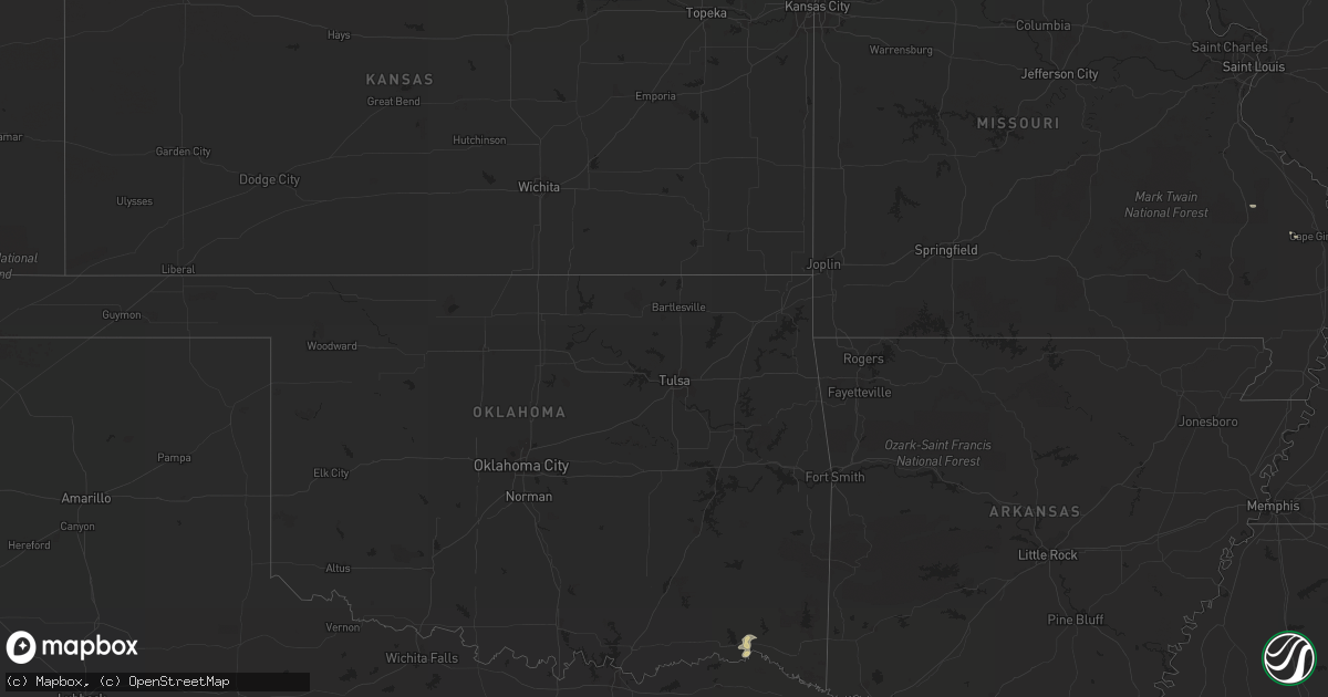
July 11 map
$229
one time, instant access
Download today. No call, no setup
Keep the $229
Bought the map and want the full workflow? Apply the entire $229 to a subscription within 7 days. None of it is wasted.
Every map, not just this one
This buys you this map. Subscription and you get every map we run, in the markets you choose from a few cities to whole states to nationwide. Plus real-time alerts the moment a storm fires.
Contact data
Name, contact info, occupancy, even credit band for addresses in the footprint. You go from where it hit to who to call.
Become the source they trust
Unlimited branding weather history reports on demand. You already have the documented answer ready for the property owner, and you are the one who showed up with it.
Property data and RoofTrace estimates
Pull up any address you have got, its value and the exact code rules for that jurisdiction, straight from One Click Code. Then RoofTrace estimates the squares, pitch, and roof value, priced the way you price.
States Impacted by Hail Map on July 11, 2012
Storm reports
Nevada
| Date | Description |
|---|---|
| 07/11/20125:12 AM CDT | Outflow from thunderstorms that dissipated to the east of indian springs. |
Arizona
| Date | Description |
|---|---|
| 07/11/20122:18 AM CDT | Large trees uprooted. Billboard blown down at 24th and university. Time estimated from radar. |
North Dakota
| Date | Description |
|---|---|
| 07/11/20126:49 PM CDT | A local report indicates 1.75 inch wind near 7 NE GRASSY BUTTE |
| 07/11/20125:15 PM CDT | Marble to golf ball sized hail with 0.74 inches of rain between 515 and 545 pm cdt... |
| 07/11/20125:15 PM CDT | Marble to golf ball sized hail with 0.74 inches of rain between 515 and 545 pm cdt... |
| 07/10/201210:40 PM CDT | A local report indicates 60 MPH wind near 6 ESE DOUBLE DITCH INDI |
| 07/10/201210:37 PM CDT | Reported by national weather service employee. |
| 07/10/201210:35 PM CDT | Observed peak wind gust rural north bismarck... Harvest grove subdivision weather. |
| 07/10/201210:33 PM CDT | Winds estimated up to 60 mph reported on the north side of bismarck. |
| 07/10/201210:32 PM CDT | Hail up to one half inch in diameter accompanied the strong winds. |
| 07/10/20128:56 PM CDT | Hail lasted for 15 minutes. |
| 07/10/20128:35 PM CDT | Hail began 830 pm cdt lasted 12 minutes. |
| 07/10/20128:32 PM CDT | Hail lasted 20 minutes. 0.48 inches precip in about 30 min...with peak wind 38 mph. |
| 07/10/20128:28 PM CDT | 2 inch hail reported by amature radio. |
| 07/10/20128:21 PM CDT | A local report indicates 60 MPH wind near 4 NNE REGENT |
| 07/10/20128:21 PM CDT | A local report indicates 1.00 inch wind near 4 NNE REGENT |
| 07/10/20128:08 PM CDT | A local report indicates 1.75 inch wind near 5 N DICKINSON |
| 07/10/20128:06 PM CDT | Damage to crops...homes and vehicles reported. No further details. Report relayed by media. |
| 07/10/20127:40 PM CDT | Dime to quarter size hail. |
| 07/10/20127:39 PM CDT | Hail shredded leaves... Dented cars... And damaged shingles. The average hail size was about 1.25 inches. Hail was still on the ground after 2 hours. |
| 07/10/20127:35 PM CDT | Hail lasted 10 minutes until 745 pm cdt. |
| 07/10/20127:25 PM CDT | Hail lasted about 10 minutes. Report from dunn county sheriff. Patrol vehicle damaged. |
| 07/10/20127:10 PM CDT | Quarter to ping pong ball size hail...lasting 15 minutes. |
South Dakota
| Date | Description |
|---|---|
| 07/10/201210:43 PM CDT | A local report indicates 65 MPH wind near UNION CENTER |
South Carolina
| Date | Description |
|---|---|
| 07/11/20126:25 PM CDT | A few trees blown down near the intersection of highway 5 and burns road. |
| 07/11/20126:24 PM CDT | A couple trees down and a few other large limbs near the intersection of highway 25 and highway 8 which is ware place. As reported by south greenville fire department. |
| 07/11/20123:43 PM CDT | The colleton county warning point relayed a report of one tree down near the intersection of coolers dairy road and benjamin road. |
| 07/11/20123:34 PM CDT | South carolina highway patrol reports a tree down on ivanhoe rd in walterboro |
| 07/11/20123:13 PM CDT | Employee of kangaroo express on highway 17 reported half dollar size hail. |
| 07/11/20121:51 PM CDT | Several trees reported down a few miles west of plantersville. Time estimated by radar. |
| 07/11/201212:06 PM CDT | Broadcast media relayed photo of large tree blown down onto park stone drive. Time was estimated from radar data. |
| 07/11/201212:02 PM CDT | Nws employee reported one large tree down along river road and maybank road. Time estimated by radar. |
| 07/11/201211:43 AM CDT | Trained spotter reported quarter size hail at the intersection of highway 17 and highway 41. |
Colorado
| Date | Description |
|---|---|
| 07/11/20125:00 PM CDT | A local report indicates 1.00 inch wind near 4 SW SOUTH FORK |
Wyoming
| Date | Description |
|---|---|
| 07/11/20126:40 PM CDT | A local report indicates 68 MPH wind near NATRONA COUNTY AIRPORT |
| 07/11/20125:50 PM CDT | A local report indicates 65 MPH wind near 2 N GREEN MOUNTAIN |
| 07/11/20125:25 PM CDT | A local report indicates 69 MPH wind near HILAND |
| 07/11/20125:20 PM CDT | A local report indicates 66 MPH wind near HILAND |
| 07/11/20125:05 PM CDT | A local report indicates 60 MPH wind near 6 E LYSITE |
| 07/11/20124:55 PM CDT | A local report indicates 69 MPH wind near 4 WSW U.S. HWY 20/789 M |
| 07/11/20124:28 PM CDT | Lots of blowing dust |
| 07/11/20124:15 PM CDT | 10-15 foot tree also uprooted. |
| 07/11/20124:04 PM CDT | A local report indicates 61 MPH wind near 2 NW RIVERTON |
| 07/11/20124:04 PM CDT | A local report indicates 70 MPH wind near 2 NW RIVERTON |
| 07/11/20123:50 PM CDT | Many 3 inch tree branches down from healthy trees. |
| 07/11/20123:50 PM CDT | 2-3 inch tree branches down from healthy trees. Also reported 0.5 inch hail. |
| 07/11/20123:45 PM CDT | 2 inch tree branches downed from healthy trees. |
| 07/10/20128:25 PM CDT | A local report indicates 64 MPH wind near 8 NW ROCKYPOINT |
Missouri
| Date | Description |
|---|---|
| 07/11/20125:32 PM CDT | Large storage building damaged. Roof damage to downtown business. Large 2 foot diameter tree on residence. Follow up to earlier downburst report. |
Montana
| Date | Description |
|---|---|
| 07/11/20126:10 PM CDT | Several small tree limbs areon the ground. A large tree with a diameter greater than 2 feet yard had a crack in it before the storm came through. The tree broke and is |
| 07/11/20125:30 PM CDT | Wicked creek raws |
| 07/11/20125:20 PM CDT | One big wind gust estimated between 60-70 mph broke a 12 inch diameter tree with 4 inch branches. Tore a hole in house and landed on two vehicles...one was damaged. Lot |
| 07/11/20125:00 PM CDT | A local report indicates 60 MPH wind near 10 N GLASGOW |
| 07/11/20123:45 PM CDT | Spotter reports ground covering hail... Estimated 0.5 to 0.75 inches with a few stones exceeding 1 inch. No rain with hail... No sig wind. Elevation 6000 ft. |
| 07/10/20128:02 PM CDT | A local report indicates 66 MPH wind near 6 N LAKEVIEW |
Kentucky
| Date | Description |
|---|---|
| 07/11/20124:35 PM CDT | The edmonson county department of highways reported three separate trees down in the northwest portion of the county. Additional information on minor damage in the area |
| 07/11/20123:08 PM CDT | A tree was reported to have been blow down on a house. |
| 07/11/20123:00 PM CDT | A few trees were blown down around 14 inches in diameter |
| 07/11/20122:35 PM CDT | On tipton ridge road...between mile markers 15 and 19...there were approximately 50 to 60 trees down. |
| 07/11/20122:30 PM CDT | A few trees were blown down around 14 inches in diameter |
Georgia
| Date | Description |
|---|---|
| 07/10/20128:45 PM CDT | Several trees were blown down across some roads. |
Illinois
| Date | Description |
|---|---|
| 07/10/20128:35 PM CDT | Tree branches and some trees donw. Dime size hail also reported. Time estimated by radar. |
Cities Impacted by Hail Map on July 11, 2012
- Shoshoni, WY
- Riverton, WY
- Cartwright, ND
- Fairview, MT
- Grassy Butte, ND
- Manning, ND
- Killdeer, ND
- Oglala, SD
- Pine Ridge, SD
- Red House, WV
- Williston, ND
- Taylor, ND
- Sidney, MT
- Savage, MT
- Lambert, MT
- Mott, ND
- Dublin, GA
- Bainville, MT
- Sulphur Springs, TX
- Dike, TX
- Hinsdale, MT
- Buffalo, WY
- Bison, SD
- Meadow, SD
- Caldwell, OH
- Menoken, ND
- Gladstone, ND
- Mount Pleasant, SC
- Dickinson, ND
- Georgetown, SC
- Marietta, GA
- Drake, ND
- Cuba, NM
- Savannah, GA
- New England, ND
- Whitewater, MO
- Winfield, WV
- Poca, WV
- Eleanor, WV
- Soperton, GA
- White Plains, GA
- Rock River, WY
- Jemez Springs, NM
- Richardton, ND
- Saco, MT
- Whitewater, MT
- Golconda, IL
- Metropolis, IL
- Chadron, NE
- Crownpoint, NM
- Cheyenne, WY
- Wheatland, WY
- Mosca, CO
- Walterboro, SC
- Scobey, MT
- Brackettville, TX
- Broxton, GA
- Frazer, MT
- Nashua, MT
- Culbertson, MT
- Alexander, ND
- Douglas, GA
- La Center, KY
- Kevil, KY
- Olmsted, IL
- Grand Chain, IL
- Dunn Center, ND
- Hollywood, SC
- Edgefield, SC
- Jamestown, ND
- Buchanan, ND
- Havre, MT
- Arnegard, ND
- Regent, ND
- Casper, WY
- Hemingway, SC
- Big Piney, WY
- Grantsburg, IL
- Belknap, IL
- Fortuna, ND
- Pavillion, WY
- Fort Towson, OK
- Ignacio, CO
- Seligman, AZ
- Charleston, SC
- Ojo Caliente, NM
- Carson, NM
- Conway, SC
- Gildford, MT
- Mcclusky, ND
- Atlanta, GA
- Glasgow, MT
- Adams Run, SC
- Richland, MT
- Green Pond, SC
- Jacksonboro, SC
- Garrett, WY
- Branchville, SC
- Bosler, WY
- Bluffton, SC
- Kennesaw, GA
- Park Valley, UT
- Doerun, GA
- Sawyer, OK
- Eagle Butte, SD
- Valliant, OK
- Bellvue, CO
- Hardeeville, SC
- Daniel, WY
- Como, CO
- Lemmon, SD
- Salome, AZ
- Fredericktown, MO
- Walhalla, ND
- Marble Hill, MO
- Rocky Point, NC
- Clearmont, WY
- Devils Lake, ND
- Mercer, ND
- Plum Branch, SC
- McCormick, SC
- North Charleston, SC
- Johns Island, SC
- Belle Fourche, SD
- Ypsilanti, ND
- Modoc, SC
- Ruffin, SC
- Dillon, MT