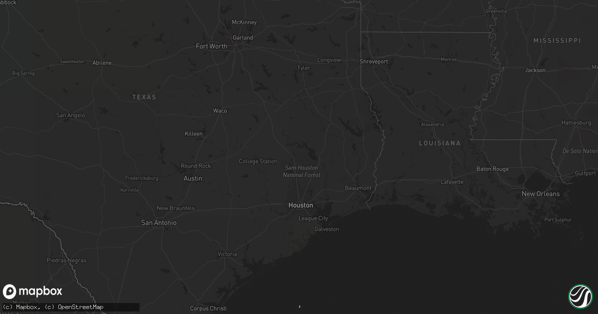
Hail Map on June 10, 2019
Get this storm
June 10 map
$229
one time, instant access
Download today. No call, no setup
Keep the $229
Bought the map and want the full workflow? Apply the entire $229 to a subscription within 7 days. None of it is wasted.
Every map, not just this one
This buys you this map. Subscription and you get every map we run, in the markets you choose from a few cities to whole states to nationwide. Plus real-time alerts the moment a storm fires.
Contact data
Name, contact info, occupancy, even credit band for addresses in the footprint. You go from where it hit to who to call.
Become the source they trust
Unlimited branding weather history reports on demand. You already have the documented answer ready for the property owner, and you are the one who showed up with it.
Property data and RoofTrace estimates
Pull up any address you have got, its value and the exact code rules for that jurisdiction, straight from One Click Code. Then RoofTrace estimates the squares, pitch, and roof value, priced the way you price.
Storm reports
Texas
| Date | Description |
|---|---|
| 06/10/20194:30 PM CDT | Willacy county emergency manager reports damage to 8 utility poles and 20 to 30 mesquite trees on the frontage road near the intersection of conley and 77. Damage to ut |
Georgia
| Date | Description |
|---|---|
| 06/10/20193:14 PM CDT | A few trees were downed near the intersection of old jefferson highway and state road 110. Time estimated by radar. |
| 06/09/201911:08 PM CDT | At 408 PM EDT, a severe thunderstorm was located near Woodbine, moving north at 10 mph. HAZARD...60 mph wind gusts and penny size hail. SOURCE...Radar indicated. IMPACT...Expect damage to roofs, siding, and trees. Locations impacted include... Woodbine, Tarboro and Colesburg. |
| 06/09/201910:42 PM CDT | At 342 PM EDT, a severe thunderstorm was located near Woodbine, moving northeast at 15 mph. HAZARD...60 mph wind gusts and penny size hail. SOURCE...Radar indicated. IMPACT...Expect damage to roofs, siding, and trees. Locations impacted include... Woodbine, Dover Bluff and Colesburg. |
Wisconsin
| Date | Description |
|---|---|
| 06/10/20196:21 PM CDT | Three to four trees down. One across a county highway |
Arizona
| Date | Description |
|---|---|
| 06/10/20191:30 AM CDT | At 630 PM MST, a severe thunderstorm was located 11 miles southwest of Concho, or 18 miles northeast of Show Low, moving southeast at 15 mph. HAZARD...Quarter size hail. SOURCE...Radar indicated. IMPACT...Damage to vehicles is expected. Locations impacted include... Little Ortega Lake.This includes the following highways... Highway 60 near mile marker 361. State Route 61 between mile markers 358 and 368. |
| 06/09/201911:59 PM CDT | At 459 PM MST, a severe thunderstorm was located over Three Forks, or 20 miles south of Springerville, moving southeast at 10 mph. HAZARD...Quarter size hail. SOURCE...Radar indicated. IMPACT...Damage to vehicles is expected. Locations impacted include... Three Forks, Deer Creek Campground, Diamond Rock Campground and Aspen Campground - East Fork Black River.This includes the following highways... State Route 273 near mile marker 396. Highway 191 between mile markers 248 and 252. |
| 06/09/201911:31 PM CDT | At 431 PM MST, a severe thunderstorm was located near Three Forks, or 16 miles south of Springerville, moving southeast at 10 mph. HAZARD...Quarter size hail. SOURCE...Radar indicated. IMPACT...Damage to vehicles is expected. Locations impacted include... Three Forks, Alpine Divide Campground and Diamond Rock Campground. This includes Highway 180 191 between mile markers 421 and 424. |
| 06/09/201911:01 PM CDT | At 401 PM MST, a severe thunderstorm was located near Nutrioso, or 14 miles south of Springerville, moving southeast at 10 mph. HAZARD...Quarter size hail. SOURCE...Radar indicated. IMPACT...Damage to vehicles is expected. Locations impacted include... Nutrioso.This includes Highway 180 191 between mile markers 417 and 421. |
Florida
| Date | Description |
|---|---|
| 06/10/201912:16 AM CDT | At 515 PM EDT, a severe thunderstorm was located 8 miles northeast of Tallahassee, moving east at 10 mph. HAZARD...60 mph wind gusts. SOURCE...Radar indicated. IMPACT...Expect damage to roofs, siding, and trees. Locations impacted include... Miccosukee and Pisgah Church. |
| 06/09/201910:39 PM CDT | At 338 PM EDT, severe thunderstorms were located along a line extending from Maytown to near Canaveral Groves, moving northeast at 25 mph. HAZARD...60 mph wind gusts. SOURCE...Radar indicated. IMPACT...Expect damage to roofs, siding, and trees. Locations impacted include... Titusville, Edgewater, Oak Hill, Port Saint John and Mims. |
Virginia
| Date | Description |
|---|---|
| 06/10/20194:15 PM CDT | Tree down - penn forest road. |
| 06/10/20194:56 AM CDT | At 955 PM EDT, severe thunderstorms were located along a line extending from near Burkeville to near Nottoway to near Lunenburg, moving east at 25 mph. HAZARD...60 mph wind gusts. SOURCE...Radar indicated. IMPACT...Expect damage to trees and powerlines. Locations impacted include... Blackstone, Crewe, Victoria, Kenbridge, Mannboro, Nottoway, Lunenburg, Burkeville, Alberta, Rehoboth, Spainville, Dundas, Wilsons, Fort Pickett, Bacons Fork, North Wellville, Wilburn, Ammon, Murdocks and Wellville. |