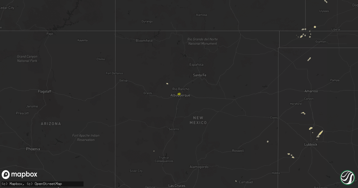
Hail Map on May 21, 2023
Get this storm
May 21 map
$229
one time, instant access
Download today. No call, no setup
Keep the $229
Bought the map and want the full workflow? Apply the entire $229 to a subscription within 7 days. None of it is wasted.
Every map, not just this one
This buys you this map. Subscription and you get every map we run, in the markets you choose from a few cities to whole states to nationwide. Plus real-time alerts the moment a storm fires.
Contact data
Name, contact info, occupancy, even credit band for addresses in the footprint. You go from where it hit to who to call.
Become the source they trust
Unlimited branding weather history reports on demand. You already have the documented answer ready for the property owner, and you are the one who showed up with it.
Property data and RoofTrace estimates
Pull up any address you have got, its value and the exact code rules for that jurisdiction, straight from One Click Code. Then RoofTrace estimates the squares, pitch, and roof value, priced the way you price.
States Impacted by Hail Map on May 21, 2023
Storm reports
New Mexico
| Date | Description |
|---|---|
| 05/21/20234:15 PM CDT | A local report indicates 59 MPH wind near 9 N WHITES CITY |
| 05/21/20232:50 PM CDT | A local report indicates 1.00 inch wind near 2 SW RIO GRANDE NATURE |
California
| Date | Description |
|---|---|
| 05/20/20238:56 PM CDT | Asos station knid china lake asos. |
Texas
| Date | Description |
|---|---|
| 05/20/20238:56 PM CDT | Measured by the ttu west texas mesonet |
Nevada
| Date | Description |
|---|---|
| 05/21/20231:15 AM CDT | At 11:15 pdt... The arl sord sensor located at rebound meda recorded a thunderstorm wind gust of 69 mph from the south. |
| 05/20/20238:18 PM CDT | Asos station klol lovelock. |
Idaho
| Date | Description |
|---|---|
| 05/20/202311:39 PM CDT | Mesonet station mcli1 tea pot. |
| 05/20/20239:45 PM CDT | A local report indicates 60 MPH wind near 4 N CASCADE |
| 05/20/20238:28 PM CDT | Mesonet station tt289 crestline trail. |
| 05/20/20238:00 PM CDT | Rotten trees knocked down. |
| 05/20/20238:00 PM CDT | Large tree branch down. |
| 05/20/20238:00 PM CDT | Portion of metal roof ripped off aircraft hangar. |
| 05/20/20238:00 PM CDT | Tree knocked down near quinns pond. |
| 05/20/20238:00 PM CDT | Trees knocked down from thunderstorm outflow. |
| 05/20/20238:00 PM CDT | Two boats capsized from thunderstorm outflow wind and subsequent waves on lake lowell. One person had to be rescued. |
| 05/20/20238:00 PM CDT | Tree knocked down on boise bench. |
| 05/20/20238:00 PM CDT | Fence knocked down. |
Florida
| Date | Description |
|---|---|
| 05/21/20236:30 PM CDT | Em relayed a public report of damage to a deck in interlachen. Time estimated by radar. |
| 05/21/20235:00 PM CDT | Media relayed photo of quarter sized hail near doctors lake. |
Washington
| Date | Description |
|---|---|
| 05/21/20235:29 PM CDT | East side of the pend oreille river on the mountain via social media. |
| 05/21/20235:00 PM CDT | Via social media. |
| 05/21/20234:55 PM CDT | Via social media. |
| 05/21/20234:52 PM CDT | Via social media. |
| 05/21/20234:50 PM CDT | Via social media. |
| 05/21/20234:45 PM CDT | Hail piled up in drifts near downspouts and off the roof. Damage to sun shade. |
| 05/21/20234:40 PM CDT | Tree blown down. Via social media. |
| 05/21/20234:00 PM CDT | Via social media. |
Oregon
| Date | Description |
|---|---|
| 05/20/20238:25 PM CDT | A local report indicates 1.00 inch wind near 22 NW HALFWAY |
| 05/20/20238:12 PM CDT | A local report indicates 1.00 inch wind near 22 WNW HALFWAY |
Cities Impacted by Hail Map on May 21, 2023
- Albuquerque, NM
- Inchelium, WA
- Gifford, WA
- Rice, WA
- Addy, WA
- Chewelah, WA
- Colville, WA
- Cusick, WA
- Ione, WA
- Kettle Falls, WA
- Plains, TX
- Green Cove Springs, FL
- Middleburg, FL
- Orange Park, FL
- Fleming Island, FL
- Nazareth, TX
- Fort Davis, TX
- Hale Center, TX
- Baker City, OR
- Grangeville, ID
- Cottonwood, ID
- White Bird, ID
- Princeton, OR
- Diamond, OR
- Floydada, TX
- Plains, MT
- Adrian, OR
- Pep, NM
- Riverside, OR
- Goodwell, OK
- Keyes, OK
- Molt, MT
- Charlo, MT
- Dixon, MT
- Corvallis, MT
- Brady, MT
- Murphy, ID
- Wauconda, WA
- Lakin, KS
- Wilder, ID
- Caldwell, ID
- Ocala, FL
- Dutton, MT
- Kila, MT
- Idalou, TX
- Petersburg, TX
- Lorenzo, TX
- Republic, WA
- Dimmitt, TX
- Libby, MT
- Stratford, TX
- Kooskia, ID
- Imnaha, OR
- Sandpoint, ID
- Burns, OR
- Joseph, OR
- Cantil, CA