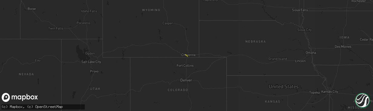
Hail Map on May 17, 2014
The weather event on May 17, 2014 includes Hail map. 1 state and 1 city were impacted and suffered possible damage. The total estimated number of properties impacted is 160.
Want more than just the map?
Turn this storm into a full workflow.
- Owner + property data so you know who to knock
- OnDemand branded weather history reports to win the "did we even have hail?" argument
- RoofTrace estimate so reps stop guessing numbers at the door
Bought this map? Upgrade within 7 days and we'll credit the $230. (10-15 min setup call)
Hail
160
Estimated number of impacted properties by a 1.00" hail or larger0
Estimated number of impacted properties by a 1.75" hail or larger0
Estimated number of impacted properties by a 2.50" hail or largerStates Impacted by Hail Map on May 17, 2014
Storm reports
Wyoming
| Date | Description |
|---|---|
| 05/17/20146:44 PM CDT | Covers the ground |
| 05/16/20147:10 PM CDT | A local report indicates 1.00 inch wind near 7 SW CHEYENNE |