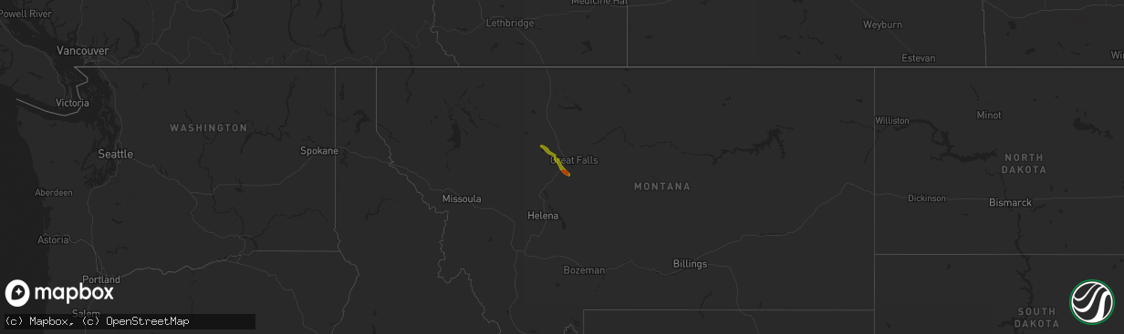
Hail Map on May 16, 2014
The weather event on May 16, 2014 includes Hail map. 1 state and 7 cities were impacted and suffered possible damage. The total estimated number of properties impacted is 1,083.
Want more than just the map?
Turn this storm into a full workflow.
- Owner + property data so you know who to knock
- OnDemand branded weather history reports to win the "did we even have hail?" argument
- RoofTrace estimate so reps stop guessing numbers at the door
Bought this map? Upgrade within 7 days and we'll credit the $230. (10-15 min setup call)
Hail
1,083
Estimated number of impacted properties by a 1.00" hail or larger100
Estimated number of impacted properties by a 1.75" hail or larger0
Estimated number of impacted properties by a 2.50" hail or largerStates Impacted by Hail Map on May 16, 2014
Storm reports
Pennsylvania
| Date | Description |
|---|---|
| 05/16/20148:20 AM CDT | Flashing off a house. Roof peeled off a barn. Trees damage... Mostly larger branches... Throughout the city. Storm survey confirmed microburst. Estimated peak winds 70 |
Wyoming
| Date | Description |
|---|---|
| 05/15/20148:47 PM CDT | Asos station big piney airport /bpi/ |
New York
| Date | Description |
|---|---|
| 05/16/20149:30 AM CDT | Trees uprooted on state route 80. Other larger branches downed. Pictures sent via facebook. |
Vermont
| Date | Description |
|---|---|
| 05/16/20143:10 AM CDT | Microburst---6 to 10 pine trees uprooted...roof blown off barn...collapsed green-houses...and minor damage to a house on wild branch road |