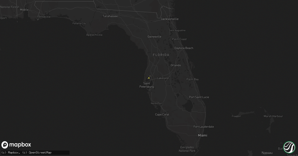
Hail Map on May 12, 2015
Get this storm
May 12 map
$229
one time, instant access
Download today. No call, no setup
Keep the $229
Bought the map and want the full workflow? Apply the entire $229 to a subscription within 7 days. None of it is wasted.
Every map, not just this one
This buys you this map. Subscription and you get every map we run, in the markets you choose from a few cities to whole states to nationwide. Plus real-time alerts the moment a storm fires.
Contact data
Name, contact info, occupancy, even credit band for addresses in the footprint. You go from where it hit to who to call.
Become the source they trust
Unlimited branding weather history reports on demand. You already have the documented answer ready for the property owner, and you are the one who showed up with it.
Property data and RoofTrace estimates
Pull up any address you have got, its value and the exact code rules for that jurisdiction, straight from One Click Code. Then RoofTrace estimates the squares, pitch, and roof value, priced the way you price.
States Impacted by Hail Map on May 12, 2015
Storm reports
Maine
| Date | Description |
|---|---|
| 05/12/20153:12 PM CDT | Large tree down through roof of home. |
Louisiana
| Date | Description |
|---|---|
| 05/12/20154:35 PM CDT | A few trees down on highway 976. |
| 05/12/20154:35 PM CDT | A few trees down on jack torres road. |
Georgia
| Date | Description |
|---|---|
| 05/12/20153:15 PM CDT | Received call from emergency manager of 2-3 trees down just off of highway 80 around 338 and 1st street. |
Mississippi
| Date | Description |
|---|---|
| 05/11/20158:51 PM CDT | Numerous trees damaged in the vicinity of oldmixon rd |
Texas
| Date | Description |
|---|---|
| 05/12/20158:24 AM CDT | Power out in port lavaca. Gust at port lavaca t-coon at 824 am. |
| 05/12/20158:24 AM CDT | Port lavaca gust to 50 knots |
North Carolina
| Date | Description |
|---|---|
| 05/12/20154:35 PM CDT | Trees down on firetower rd |
| 05/12/20154:15 PM CDT | Trees down on hamilton st and henry st. Radar estimated time |
| 05/12/20154:12 PM CDT | A local report indicates 1.00 inch wind near 1 NNE ROSEMARY |
South Carolina
| Date | Description |
|---|---|
| 05/12/20156:45 PM CDT | Thunderstorm winds blew a tree down onto rugrack road about one-quarter of a mile from highway 116. Time was estimated from radar data. |
| 05/12/20156:10 PM CDT | 3 trees down along highway 321. Time estimated based on radar. |
| 05/12/20156:03 PM CDT | Tree knocked down onto bailey mill road near the intersection with calf pen bay road. |
Florida
| Date | Description |
|---|---|
| 05/12/20156:42 PM CDT | Sumter county sheriffs office reported at least 2 downed trees in east rural nobleton along cr 647. |
| 05/12/20155:32 PM CDT | Public reported one inch diameter hail at gunn hwy and anderson rd at 632 pm edt. |
| 05/12/20155:00 PM CDT | Ktpf awos reported wind gust of 52 knots/59 mph around 600 pm edt. |
| 05/12/20152:40 PM CDT | Cape coral police reported several trees and power lines down in cape coral and south cape coral areas. Damage occured between 340 pm and 355 pm. |
Utah
| Date | Description |
|---|---|
| 05/11/20158:00 PM CDT | Several tree limbs down due to microburst winds...some appearing to be 2 to 3 inches in diameter. |