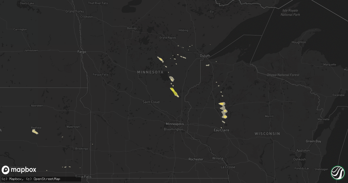
Hail Map on May 6, 2016
Get this storm
May 6 map
$229
one time, instant access
Download today. No call, no setup
Keep the $229
Bought the map and want the full workflow? Apply the entire $229 to a subscription within 7 days. None of it is wasted.
Every map, not just this one
This buys you this map. Subscription and you get every map we run, in the markets you choose from a few cities to whole states to nationwide. Plus real-time alerts the moment a storm fires.
Contact data
Name, contact info, occupancy, even credit band for addresses in the footprint. You go from where it hit to who to call.
Become the source they trust
Unlimited branding weather history reports on demand. You already have the documented answer ready for the property owner, and you are the one who showed up with it.
Property data and RoofTrace estimates
Pull up any address you have got, its value and the exact code rules for that jurisdiction, straight from One Click Code. Then RoofTrace estimates the squares, pitch, and roof value, priced the way you price.
States Impacted by Hail Map on May 6, 2016
Storm reports
Minnesota
| Date | Description |
|---|---|
| 05/06/20166:41 PM CDT | A local report indicates 1.00 inch wind near 3 SSW MORA |
Wisconsin
| Date | Description |
|---|---|
| 05/06/20166:35 PM CDT | A local report indicates 68 MPH wind near MANITOWISH WATERS |
| 05/06/20166:30 PM CDT | Tree down on the north side of city. |
| 05/06/20166:30 PM CDT | Tree down in city. |
Utah
| Date | Description |
|---|---|
| 05/06/20165:50 PM CDT | I-15 at tremonton mesonet site |
| 05/06/20165:20 PM CDT | I-15 at willard mesonet site |
| 05/06/20165:03 PM CDT | A local report indicates 68 MPH wind near 8 SW OGDEN |
| 05/06/20165:00 PM CDT | Fremont island mesonet site |
| 05/06/20165:00 PM CDT | Time estimated. |
| 05/06/20164:30 PM CDT | Large tree blown into house. Time estimated. |
| 05/06/20164:01 PM CDT | A local report indicates 61 MPH wind near 15 NW MOAB |
| 05/06/20164:00 PM CDT | Time estimated |
Cities Impacted by Hail Map on May 6, 2016
- Aitkin, MN
- Magna, UT
- Lehi, UT
- Winnemucca, NV
- Merriman, NE
- Holcombe, WI
- Weyerhaeuser, WI
- Bruce, WI
- New Auburn, WI
- Palisade, MN
- Viborg, SD
- Tridell, UT
- Whiterocks, UT
- Golconda, NV
- Chippewa Falls, WI
- Bloomer, WI
- Ogden, UT
- Hooper, UT
- Superior, WI
- South Range, WI
- Cornell, WI
- Rice Lake, WI
- Mora, MN
- Minatare, NE
- Vernal, UT
- Duchesne, UT
- Altamont, UT
- Bluebell, UT
- Torrington, WY
- Lyman, NE
- Tulare, SD
- Redfield, SD
- Chugwater, WY
- Crescent Valley, NV
- Salem, SD
- Braham, MN
- Stanchfield, MN
- Wheatland, WY
- Mitchell, SD
- Yoder, WY
- Davis, SD
- Cokeville, WY
- Jefferson, CO
- Orovada, NV
- Tamarack, MN
- Ogilvie, MN
- Bond, CO
- Kremmling, CO
- Roosevelt, UT
- Myton, UT
- Corinne, UT
- Mcgregor, MN
- Eagle Mountain, UT
- Volin, SD
- Tabiona, UT
- Eau Claire, WI
- Isle, MN
- Gering, NE
- Chetek, WI
- Jim Falls, WI
- Cameron, WI
- La Salle, CO
- McGrath, MN
- Denio, NV
- Emily, MN
- Hendricks, MN
- Randlett, UT
- Fort Duchesne, UT
- Birchwood, WI
- Green River, WY
- Kimball, SD
- Orem, UT
- Provo, UT
- Veteran, WY
- Cromwell, MN
- Wright, MN
- Clearfield, UT
- Spanish Fork, UT
- Cedar Valley, UT
- Hayward, WI
- Floodwood, MN
- Como, CO
- Maple, WI
- Hanna, WY
- Rock Springs, WY
- Harrisburg, NE
- Dinosaur, CO
- Grasston, MN