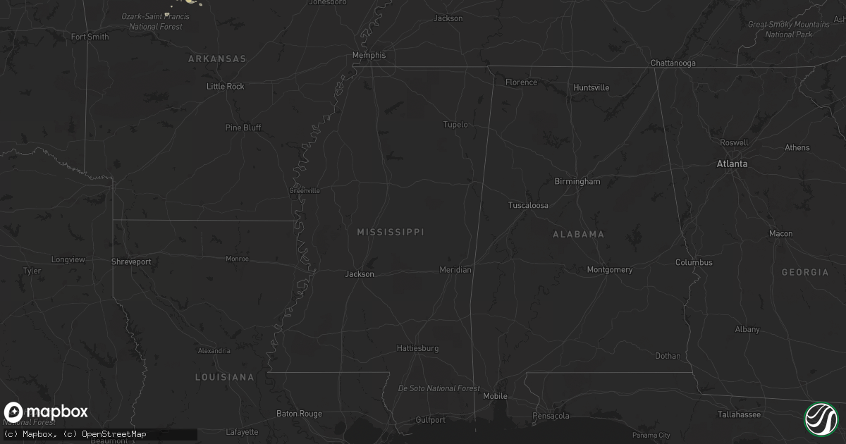
Hail Map on May 6, 2011
Get this storm
May 6 map
$229
one time, instant access
Download today. No call, no setup
Keep the $229
Bought the map and want the full workflow? Apply the entire $229 to a subscription within 7 days. None of it is wasted.
Every map, not just this one
This buys you this map. Subscription and you get every map we run, in the markets you choose from a few cities to whole states to nationwide. Plus real-time alerts the moment a storm fires.
Contact data
Name, contact info, occupancy, even credit band for addresses in the footprint. You go from where it hit to who to call.
Become the source they trust
Unlimited branding weather history reports on demand. You already have the documented answer ready for the property owner, and you are the one who showed up with it.
Property data and RoofTrace estimates
Pull up any address you have got, its value and the exact code rules for that jurisdiction, straight from One Click Code. Then RoofTrace estimates the squares, pitch, and roof value, priced the way you price.
Storm reports
Kansas
| Date | Description |
|---|---|
| 05/06/20114:55 AM CDT | A local report indicates 1.00 inch wind near KEATS |
| 05/06/20113:05 AM CDT | A local report indicates 1.00 inch wind near 2 NNE LONE STAR |
| 05/06/20112:57 AM CDT | A local report indicates 1.00 inch wind near KEATS |
Arkansas
| Date | Description |
|---|---|
| 05/06/20114:30 AM CDT | Measured on the southeast side of town. |
| 05/06/20114:28 AM CDT | A local report indicates 1.25 inch wind near 3 SW ROGERS |
Texas
| Date | Description |
|---|---|
| 05/05/201111:00 PM CDT | Wind gusts to 45 mph... Numerous lightning... Some tree branches blown into power lines. |
New Mexico
| Date | Description |
|---|---|
| 05/06/20113:00 PM CDT | Third of metal roof torn off near lincoln and ottowa |
Florida
| Date | Description |
|---|---|
| 05/06/20113:45 PM CDT | A local report indicates 1.00 inch wind near 3 SE CLEWISTON |
Missouri
| Date | Description |
|---|---|
| 05/06/20114:40 AM CDT | A local report indicates 1.00 inch wind near GOLDEN CITY |
| 05/06/20114:40 AM CDT | A local report indicates 1.00 inch wind near 3 W GOLDEN CITY |
Cities Impacted by Hail Map on May 6, 2011
- El Dorado Springs, MO
- Harwood, MO
- Stockton, MO
- Topeka, KS
- Overbrook, KS
- Auburn, KS
- Wakarusa, KS
- Lawrence, KS
- Berryton, KS
- Concordia, MO
- Bentonville, AR
- Cave Springs, AR
- Rogers, AR
- Lowell, AR
- Mount Judea, AR
- Carthage, MO
- Sarcoxie, MO
- Reeds, MO
- Saint George, KS
- Wamego, KS
- Alpena, AR
- Green Forest, AR
- Marshall, AR
- Riley, KS
- Manhattan, KS
- Clewiston, FL
- Witts Springs, AR
- Fort Scott, KS
- Lockwood, MO
- Mindenmines, MO
- La Russell, MO
- Stotts City, MO
- Clay Center, KS
- Pea Ridge, AR
- Seligman, MO
- Garfield, AR
- Hagarville, AR
- Sweetwater, TX
- Hermleigh, TX
- Aspermont, TX
- South Bay, FL
- Jasper, MO
- Golden City, MO
- Hughesville, MO
- Houstonia, MO
- Sedalia, MO
- Marathon, TX
- Sweet Springs, MO
- Dunnegan, MO
- Bolivar, MO
- Joplin, MO
- Snyder, TX
- Eudora, KS
- Gardner, KS
- Eureka Springs, AR
- Mount Vernon, MO
- Aurora, MO
- Rotan, TX
- Pleasanton, KS
- Higginsville, MO
- Omaha, AR
- Western Grove, AR
- Arcola, MO
- Dadeville, MO
- Aldrich, MO
- Liberal, MO
- Lamar, MO
- Colorado City, TX
- Nevada, MO
- Walker, MO
- Redfield, KS
- Richards, MO
- Deerfield, MO
- Maple Hill, KS
- Harveyville, KS
- Diamond, MO
- Berryville, AR
- Roscoe, TX
- Huntsville, AR
- Harrison, AR
- Marble Falls, AR
- Compton, AR
- Old Glory, TX
- Kimberling City, MO
- Lecompton, KS
- Mulberry, KS
- Eagle Rock, MO
- Golden, MO
- Sheldon, MO
- Pilot Grove, MO
- La Monte, MO
- Reeds Spring, MO
- Ira, TX
- Bella Vista, AR