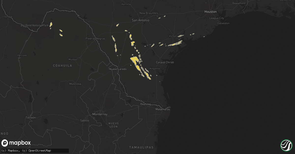
Hail Map on May 5, 2024
Get this storm
May 5 map
$229
one time, instant access
Download today. No call, no setup
Keep the $229
Bought the map and want the full workflow? Apply the entire $229 to a subscription within 7 days. None of it is wasted.
Every map, not just this one
This buys you this map. Subscription and you get every map we run, in the markets you choose from a few cities to whole states to nationwide. Plus real-time alerts the moment a storm fires.
Contact data
Name, contact info, occupancy, even credit band for addresses in the footprint. You go from where it hit to who to call.
Become the source they trust
Unlimited branding weather history reports on demand. You already have the documented answer ready for the property owner, and you are the one who showed up with it.
Property data and RoofTrace estimates
Pull up any address you have got, its value and the exact code rules for that jurisdiction, straight from One Click Code. Then RoofTrace estimates the squares, pitch, and roof value, priced the way you price.
States Impacted by Hail Map on May 5, 2024
Storm reports
Colorado
| Date | Description |
|---|---|
| 05/05/20244:57 AM CDT | Mesonet station ccyc2 colorado city. |
Tennessee
| Date | Description |
|---|---|
| 05/05/20244:11 AM CDT | 6 large oak trees up to 5 feet in diameter uprooted and snapped plus power lines blown down along hwy 43 around 1 mile north of al border. |
Wyoming
| Date | Description |
|---|---|
| 05/04/20247:20 PM CDT | Time estimated from radar. |
Ohio
| Date | Description |
|---|---|
| 05/05/20241:51 PM CDT | Asos station kyng youngstown. |
Texas
| Date | Description |
|---|---|
| 05/05/20247:46 AM CDT | A few trees reported down this morning on fm 1270 near highway 69 s. Time estimated by radar. |
| 05/05/20247:40 AM CDT | A few trees reported down this morning near the intersection of thornton road and lowry sawmill road. Time estimated by radar. |
| 05/05/20247:15 AM CDT | Large oak tree split and uprooted... Blocking roadway on willow drive. |
Montana
| Date | Description |
|---|---|
| 05/04/202410:45 PM CDT | Mesonet station mtm87 fort peck s. |
| 05/04/202410:00 PM CDT | Corrects previous non-tstm wnd gst report from 10 s vida to reflect that it is indeed a tstorm gust. Mesonet station mtcow 9.9 s vida |
| 05/04/20249:25 PM CDT | Awos station k4u6 1 e circle. |
Alabama
| Date | Description |
|---|---|
| 05/05/20246:56 PM CDT | Trees down in the bluff springs area. |
Cities Impacted by Hail Map on May 5, 2024
- George West, TX
- Beeville, TX
- Three Rivers, TX
- Goliad, TX
- Port Lavaca, TX
- Refugio, TX
- Gonzales, TX
- Tivoli, TX
- Pearsall, TX
- Inez, TX
- Victoria, TX
- Crystal City, TX
- Bloomington, TX
- Edna, TX
- Batesville, TX
- La Salle, TX
- Vanderbilt, TX
- Lolita, TX
- Cortland, OH
- Warren, OH
- Palacios, TX
- Big Wells, TX
- Sabinal, TX
- Bay City, TX
- Tomball, TX
- Asherton, TX
- Catarina, TX
- Fowlerton, TX
- Tilden, TX
- Cotulla, TX
- Encinal, TX
- Toxey, AL
- Gilbertown, AL
- Laredo, TX
- Franklin, TX
- Freer, TX
- Realitos, TX
- Concepcion, TX
- San Diego, TX
- Marquez, TX
- Normangee, TX
- Trenton, FL
- Benavides, TX
- Fort Stockton, TX
- Sylacauga, AL
- Weogufka, AL
- Premont, TX
- Alice, TX
- Monongahela, PA
- Falfurrias, TX
- Encino, TX
- Alexander City, AL
- Ashland, AL
- Cragford, AL
- Marshall, TX
- Hallsville, TX
- Sarita, TX
- Dadeville, AL
- Weston, WY
- Snow Lake, AR
- Benoit, MS
- Watson, AR
- Cascilla, MS
- Beulah, MS
- Gunnison, MS
- Daviston, AL
- Cleveland, MS
- Wadley, AL
- Rosedale, MS
- De Witt, AR
- Senatobia, MS
- Sarah, MS
- Courtland, MS
- Batesville, MS
- Marks, MS
- Coahoma, MS
- Sledge, MS
- Sardis, MS
- Drew, MS
- Merigold, MS
- Shelby, MS
- Mound Bayou, MS
- Clarksdale, MS
- Duncan, MS
- Alligator, MS
- Lyon, MS
- Como, MS
- Oxford, MS
- Lambert, MS
- Holly Springs, MS
- Vance, MS
- Pope, MS
- Taylor, MS
- Water Valley, MS
- Waterford, MS