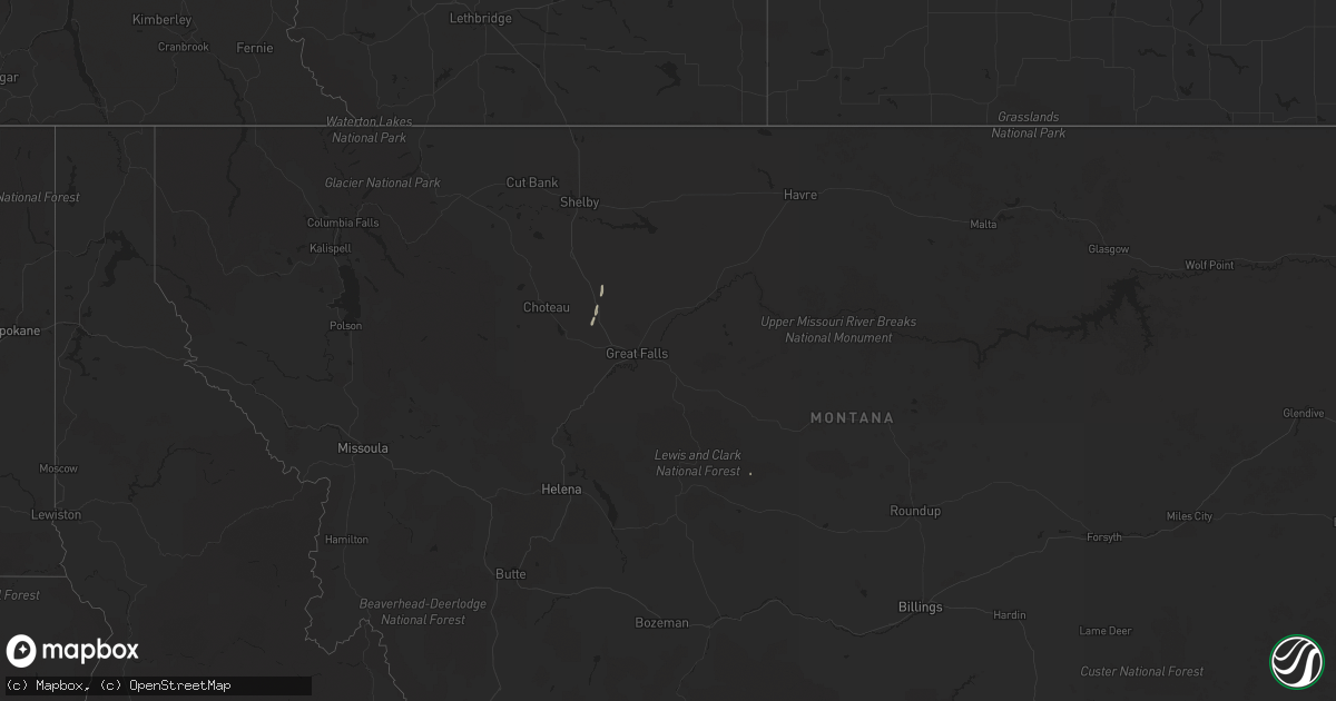
Hail Map on April 28, 2018
Get this storm
April 28 map
$229
one time, instant access
Download today. No call, no setup
Keep the $229
Bought the map and want the full workflow? Apply the entire $229 to a subscription within 7 days. None of it is wasted.
Every map, not just this one
This buys you this map. Subscription and you get every map we run, in the markets you choose from a few cities to whole states to nationwide. Plus real-time alerts the moment a storm fires.
Contact data
Name, contact info, occupancy, even credit band for addresses in the footprint. You go from where it hit to who to call.
Become the source they trust
Unlimited branding weather history reports on demand. You already have the documented answer ready for the property owner, and you are the one who showed up with it.
Property data and RoofTrace estimates
Pull up any address you have got, its value and the exact code rules for that jurisdiction, straight from One Click Code. Then RoofTrace estimates the squares, pitch, and roof value, priced the way you price.
States Impacted by Hail Map on April 28, 2018
Storm reports
New Mexico
| Date | Description |
|---|---|
| 04/28/20186:10 PM CDT | 4-5 inch diameter tree limb down near alameda and ellison |
| 04/28/20186:00 PM CDT | Roof partially peeled off hotel |
| 04/28/20185:12 PM CDT | Klvs asos. |
| 04/27/201811:47 PM CDT | At 446 PM MDT, a severe thunderstorm with little or no rain was located over northwestern Albuquerque, moving northeast at 25 mph. HAZARD...60 mph wind gusts. SOURCE...Radar indicated. IMPACT...Expect damage to roofs, siding, and trees. Locations impacted include... Albuquerque, southern Rio Rancho, Corrales, Bernalillo, Los Ranchos De Albuquerque, Tijeras, Cedar Crest, Cabezon, Coronado State Monument and Vista Hills.This includes the following highways... Interstate 40 between Mile Markers 146 and 177. Interstate 25 between Mile Markers 217 and 246. |