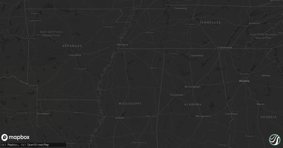
Hail Map on April 24, 2013
Get this storm
April 24 map
$229
one time, instant access
Download today. No call, no setup
Keep the $229
Bought the map and want the full workflow? Apply the entire $229 to a subscription within 7 days. None of it is wasted.
Every map, not just this one
This buys you this map. Subscription and you get every map we run, in the markets you choose from a few cities to whole states to nationwide. Plus real-time alerts the moment a storm fires.
Contact data
Name, contact info, occupancy, even credit band for addresses in the footprint. You go from where it hit to who to call.
Become the source they trust
Unlimited branding weather history reports on demand. You already have the documented answer ready for the property owner, and you are the one who showed up with it.
Property data and RoofTrace estimates
Pull up any address you have got, its value and the exact code rules for that jurisdiction, straight from One Click Code. Then RoofTrace estimates the squares, pitch, and roof value, priced the way you price.
States Impacted by Hail Map on April 24, 2013
Storm reports
West Virginia
| Date | Description |
|---|---|
| 04/24/20134:00 PM CDT | Trees down on cacapon rd |
Tennessee
| Date | Description |
|---|---|
| 04/24/20137:55 AM CDT | A tree fell onto a car and is completely blocking clay lick road in joelton. Another tree fell across sycamore creek road. Reported via newschannel5 facebook page. |
Virginia
| Date | Description |
|---|---|
| 04/24/20134:30 PM CDT | Several trees down with some falling on powerlines and a few houses with shingles blown off in covington |
| 04/24/20134:00 PM CDT | Large tree down in narrows |
| 04/24/20134:00 PM CDT | Roof from back porch of restaurant on woodland drive in pearisburg blown over top of restaurant and into front parking lot where a vehicle was damaged by it. No other d |
| 04/24/20133:14 PM CDT | Tree down on fowler st |
| 04/24/20133:12 PM CDT | Tree down on river oak drive |
| 04/24/20133:09 PM CDT | Tree down on route 11/lee hwy |
| 04/24/20133:05 PM CDT | Tree down on st clairs creek rd |
Kentucky
| Date | Description |
|---|---|
| 04/24/20131:07 PM CDT | Tree snapped and is blocking both lanes of highway 114...near owens street...between mile marker 8 and 9. Time estimated. |
| 04/24/20131:03 PM CDT | Tree snapped and is blocking both lanes of highway 114...near owens street...between mile marker 8 and 9. Time estimated. |
| 04/24/20131:01 PM CDT | Tree snapped and is blocking both lanes of highway 114...near owens street...between mile marker 8 and 9. Time estimated. |
Iowa
| Date | Description |
|---|---|
| 04/24/20136:50 PM CDT | Rwis site |
| 04/24/20136:15 PM CDT | Delayed report from yesterday. Semi blown over on highway north of town. Time estimated from radar and surface observations. |
| 04/23/20137:00 PM CDT | A local report indicates 59 MPH wind near 2 NW CLARION |
Pennsylvania
| Date | Description |
|---|---|
| 04/24/20134:40 PM CDT | Trees reported down. |
| 04/24/20134:30 PM CDT | Trees and wires down on main st. |
| 04/24/20133:51 PM CDT | Trees reported down on cold springs road. |
| 04/24/20133:45 PM CDT | Trees reported down on old route 22 in porter twp. |
| 04/24/20132:44 PM CDT | Wires reported down in the city of johnstown. |
Louisiana
| Date | Description |
|---|---|
| 04/24/201312:10 PM CDT | Structural damage in mid city. |
| 04/24/201312:05 PM CDT | Power pole snapped at st charles and st andrew. Report via social media. |
| 04/24/201312:00 PM CDT | *** 2 inj *** survey confirmed tornado touch down near intersection of medowdale and kent...downing a tree onto a car. It moved se through the intersection of transcont |
| 04/24/201311:59 AM CDT | Tree down across street along washington ave between jeff davis and broadway st. |
| 04/24/201311:58 AM CDT | Metal awnings torn apart at car dealership off jefferson hwy and brooklyn ave. |
| 04/24/201311:56 AM CDT | Large tree uprooted and fell on vehicle on meadowdale road in metairie. Time estimated based on radar. |
| 04/24/201311:56 AM CDT | Multiple large metal storage units blown over. |
| 04/24/201311:53 AM CDT | Large tree feel on top of car on meadowdale street in metairie. |
| 04/24/201311:53 AM CDT | Flag pole snapped near transcontinental drive and west metairie. Report via social media. |
| 04/24/201311:53 AM CDT | Large tree uprooted and minor roof damage near power blvd and kawanee. |
| 04/24/201311:51 AM CDT | Structural damage to new construction at corner or veterans and roosevelt blvd. |
| 04/24/201311:51 AM CDT | Metal frame patio blown over on n. Sibley st. Report via social media. |
| 04/24/201311:50 AM CDT | 5 power poles snapped on acron st. Report via social media. |
| 04/24/201311:50 AM CDT | Asos measured a wind gust 59mph. |
| 04/24/201311:50 AM CDT | Metal ware house door blown in on piedmont st. Report via social media. |
| 04/24/201311:50 AM CDT | Large limbs greater than 4 inches in diameter snapped of trees along idaho st. Report via social media. |
| 04/24/201311:48 AM CDT | Survey confirmed tornado touched down near west loyola and joe yenni. Moved sse causing damage to several trees and minor to moderate roof damage to several residences. |
| 04/24/201311:45 AM CDT | Several trees and power poles down and roof damage to several residences. The majority of the damage reported between the 3800 and 4100 blocks of west loyola. Possible |
| 04/24/20139:55 AM CDT | 5 to 10 oak trees snapped along lawrence parkway...daisy...and beehive st in st gabriel. Numeruos branches snapped and roof blown off of a storage shed. Estiamted wind |
| 04/24/20139:35 AM CDT | Tree down on hwy 1148 just north of plaquemine. Time estimated based on radar. |
| 04/24/20138:43 AM CDT | A few small trees blown down in st gabriel. Possible tornado. |
| 04/24/20137:27 AM CDT | Slemco reports numerous power outages in lafayette and in st martin parish |