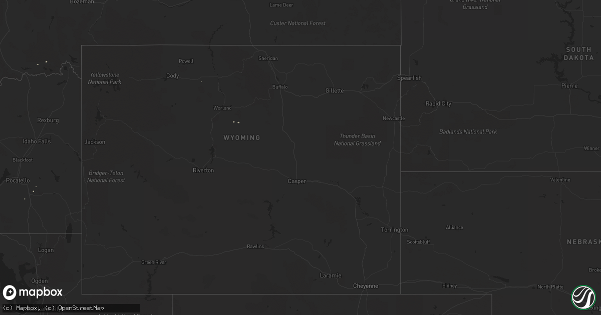
Hail Map on April 24, 2012
Get this storm
April 24 map
$229
one time, instant access
Download today. No call, no setup
Keep the $229
Bought the map and want the full workflow? Apply the entire $229 to a subscription within 7 days. None of it is wasted.
Every map, not just this one
This buys you this map. Subscription and you get every map we run, in the markets you choose from a few cities to whole states to nationwide. Plus real-time alerts the moment a storm fires.
Contact data
Name, contact info, occupancy, even credit band for addresses in the footprint. You go from where it hit to who to call.
Become the source they trust
Unlimited branding weather history reports on demand. You already have the documented answer ready for the property owner, and you are the one who showed up with it.
Property data and RoofTrace estimates
Pull up any address you have got, its value and the exact code rules for that jurisdiction, straight from One Click Code. Then RoofTrace estimates the squares, pitch, and roof value, priced the way you price.
Storm reports
Missouri
| Date | Description |
|---|---|
| 04/24/201212:30 AM CDT | Report relayed through 911 center. |
Montana
| Date | Description |
|---|---|
| 04/23/20127:02 PM CDT | 58 mph thunderstorm wind gust reported at the two medicine bridge mt dot site. |
Texas
| Date | Description |
|---|---|
| 04/23/20129:30 PM CDT | 1 power pole snapped and 2 other power poles bent. Time estimated. |
| 04/23/20128:45 PM CDT | West texas mesonet report |
| 04/23/20128:18 PM CDT | West texas mesonet report |
Kansas
| Date | Description |
|---|---|
| 04/23/20128:31 PM CDT | A local report indicates 62 MPH wind near 6 SE GOVE |
| 04/23/20127:48 PM CDT | A local report indicates 61 MPH wind near GRINNELL |
| 04/23/20127:44 PM CDT | A local report indicates 60 MPH wind near 3 N COLBY |
| 04/23/20127:44 PM CDT | A local report indicates 58 MPH wind near 2 ESE OAKLEY |
Nevada
| Date | Description |
|---|---|
| 04/24/20124:11 PM CDT | 7984 feet amsl... Quima peak raws |
Nebraska
| Date | Description |
|---|---|
| 04/23/20127:28 PM CDT | *** 1 inj *** car blown off interstate 80 at mile marker 137 due to straight line winds. |
| 04/23/20127:25 PM CDT | Two power poles were bent over at a 45 degree angles due to straight line winds. |
| 04/23/20127:25 PM CDT | *** 1 inj *** semi-trailer blown off interstate 80 mile marker 134. Wind speed is estimated. |
Wyoming
| Date | Description |
|---|---|
| 04/24/20122:30 PM CDT | A local report indicates 65 MPH wind near BORDEAUX |
Idaho
| Date | Description |
|---|---|
| 04/24/20125:43 PM CDT | A local report indicates 1.00 inch wind near 4 SE CLARK FORK |
| 04/24/20125:43 PM CDT | A local report indicates 1.00 inch wind near 3 SE CLARK FORK |
| 04/24/20124:45 PM CDT | Half dollar size hail and gusts to 75 mph. |
| 04/24/20124:30 PM CDT | Nws employee reported hail of 1 inch in diameter and hail damage to personal vehicle. |
| 04/23/201210:10 PM CDT | Trained spotter reported half dollar size hail 5 ne of orofino |
| 04/23/201210:10 PM CDT | Trained spotter reported quarter size hail 2 miles nw of orofino |
| 04/23/201210:05 PM CDT | Trained spotter reported 1 inch hail 3 miles ne of orofino |
| 04/23/201210:00 PM CDT | Trained spotter reported golf ball size hail in orofino |
| 04/23/20127:00 PM CDT | Trained weather spotter reported 1 1/4 inch hail along with some wind damage |
Cities Impacted by Hail Map on April 24, 2012
- Bronaugh, MO
- Malta, ID
- Pierce, ID
- Sarcoxie, MO
- Nampa, ID
- Asbury, MO
- Parma, ID
- Orofino, ID
- Carl Junction, MO
- Joplin, MO
- Duenweg, MO
- Webb City, MO
- Weippe, ID
- Fort Scott, KS
- Richland, OR
- Halfway, OR
- Carthage, MO
- Pittsburg, KS
- Caldwell, ID
- Notus, ID
- Wilder, ID
- Greenleaf, ID
- Middleton, ID
- Eagle, ID
- Lewiston, ID
- Lamar, MO
- Athol, ID
- Cocolalla, ID
- Stark City, MO
- Granby, MO
- Priest River, ID
- Oronogo, MO
- Jasper, MO
- Clark Fork, ID
- Marsing, ID
- Liberal, MO
- Kamiah, ID
- Kooskia, ID
- Deerfield, MO
- Moundville, MO
- Careywood, ID
- Butler, MO
- Adrian, MO
- Reubens, ID
- Peck, ID
- Arcadia, KS
- Mulberry, KS
- Bruneau, ID
- Golden City, MO
- Spirit Lake, ID
- Blanchard, ID
- Drexel, MO
- Craigmont, ID
- Mindenmines, MO
- Council, ID