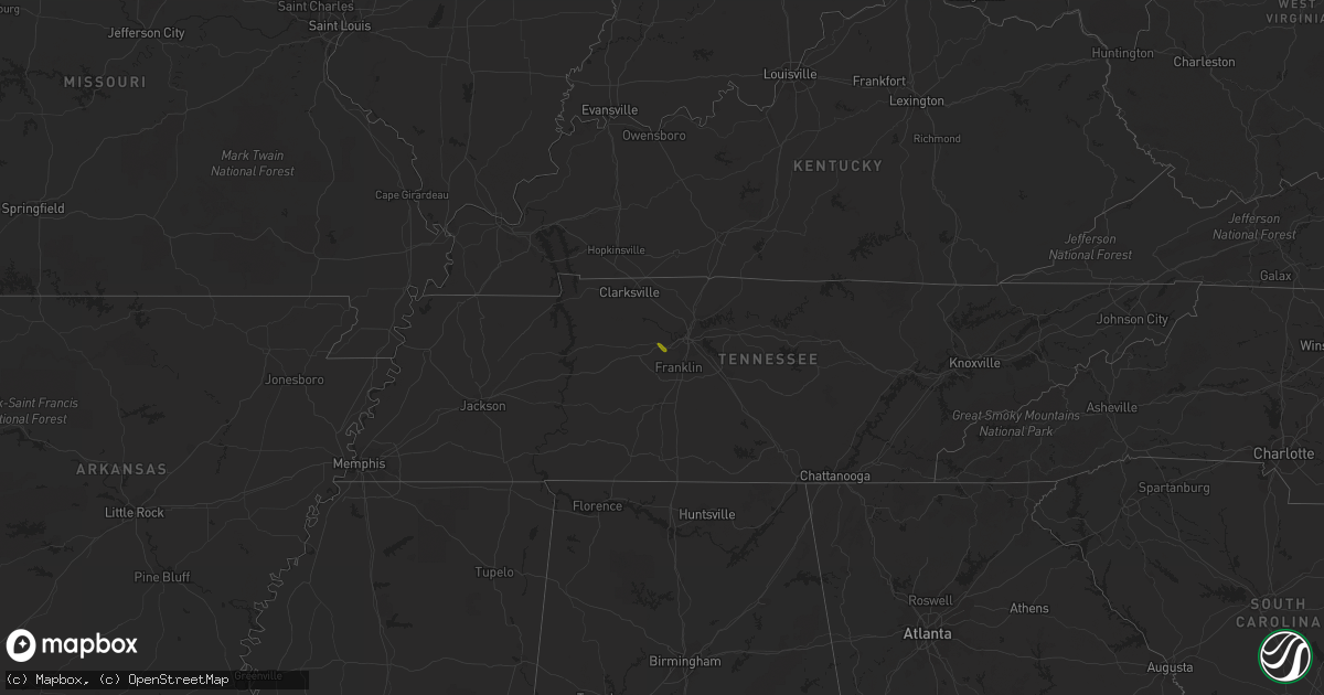
Hail Map on April 23, 2017
Get this storm
April 23 map
$229
one time, instant access
Download today. No call, no setup
Keep the $229
Bought the map and want the full workflow? Apply the entire $229 to a subscription within 7 days. None of it is wasted.
Every map, not just this one
This buys you this map. Subscription and you get every map we run, in the markets you choose from a few cities to whole states to nationwide. Plus real-time alerts the moment a storm fires.
Contact data
Name, contact info, occupancy, even credit band for addresses in the footprint. You go from where it hit to who to call.
Become the source they trust
Unlimited branding weather history reports on demand. You already have the documented answer ready for the property owner, and you are the one who showed up with it.
Property data and RoofTrace estimates
Pull up any address you have got, its value and the exact code rules for that jurisdiction, straight from One Click Code. Then RoofTrace estimates the squares, pitch, and roof value, priced the way you price.
Storm reports
Tennessee
| Date | Description |
|---|---|
| 04/23/201712:29 PM CDT | Dime to quarter size hail covering the ground |
| 04/23/201712:03 PM CDT | Large tree blocking northbound harding pike at davidson road. Time estimated based on radar. |
| 04/23/201710:30 AM CDT | Multiple trees and power lines down across the northwest portion of hamilton county. Nine houses damaged. |
Georgia
| Date | Description |
|---|---|
| 04/23/20175:35 PM CDT | 1 tree reported down on parker st in irwinton |
| 04/23/20174:29 PM CDT | Tree blown over onto a house |
| 04/23/20174:26 PM CDT | Large tree branch snapped of a tree onto a car on frank satterfield rd |
| 04/23/20174:24 PM CDT | 2-3 trees down acorss both lanes of sewell rd |
| 04/23/20174:24 PM CDT | 2 trees down across i-75 south near mm 131 |
| 04/23/20174:21 PM CDT | Powerlines knocked down at ga hwy 41 and hwy 26 |
| 04/23/20174:21 PM CDT | A tree was blown down along i-75 southbound near mile marker 133. |
| 04/23/20174:20 PM CDT | *** 1 inj *** a tree was blown over a roadway causing a 3 car accident with 1 minor injury on hwy 127 |
| 04/23/20174:19 PM CDT | A large tree was reportly blown over onto w anderson st in oglethorpe |
| 04/23/20174:18 PM CDT | A tree was blown over near the intersection of spaulding rd and travelers rest rd in montezuma |
Montana
| Date | Description |
|---|---|
| 04/23/20175:30 PM CDT | Nickel to quarter sized hail reported. |