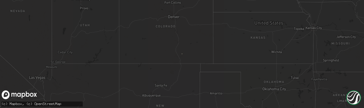
Hail Map on April 22, 2014
The weather event on April 22, 2014 includes Hail map. 2 states and 2 cities were impacted and suffered possible damage. The total estimated number of properties impacted is 0.
Want more than just the map?
Turn this storm into a full workflow.
- Owner + property data so you know who to knock
- OnDemand branded weather history reports to win the "did we even have hail?" argument
- RoofTrace estimate so reps stop guessing numbers at the door
Bought this map? Upgrade within 7 days and we'll credit the $230. (10-15 min setup call)
Hail
0
Estimated number of impacted properties by a 1.00" hail or larger0
Estimated number of impacted properties by a 1.75" hail or larger0
Estimated number of impacted properties by a 2.50" hail or largerStates Impacted by Hail Map on April 22, 2014
Storm reports
Colorado
| Date | Description |
|---|---|
| 04/22/20146:20 PM CDT | Report of sustained winds 55-70 mph with a peak gust of 72 mph between 515 pm and 530 pm. Likely downburst from dying showers. Visibility was less than 100 yards due to |
| 04/22/20143:58 PM CDT | A local report indicates 58 MPH wind near 3 ESE HOEHNE |
| 04/22/20141:53 AM CDT | A local report indicates 58 MPH wind near 1 ESE CRAIG |
Idaho
| Date | Description |
|---|---|
| 04/22/20143:45 PM CDT | Reports of downed and damaged power lines south of ashton. |
| 04/22/20143:33 PM CDT | Reports of multiple downed or damaged power poles in town. |
| 04/22/20143:25 PM CDT | Trailer house on bonneville/jefferson county line--145n between 3900 and 4000 east... Has lost its roof. 6 to 8 inch tree limbs have fallen. |
| 04/22/20143:15 PM CDT | Reported via arl mesonet site. |
| 04/22/20143:00 PM CDT | Hanging stoplight near the library has been partially damaged. Reported via twitter. |
| 04/22/20142:55 PM CDT | Gust reported via arl mesonet site. |
| 04/22/20142:34 PM CDT | Shingles blown off a roof in rigby. Reported via twitter. |
Maryland
| Date | Description |
|---|---|
| 04/22/20146:19 PM CDT | Tree down blocking bussards road |
| 04/22/20146:18 PM CDT | Six inch branches down |
Montana
| Date | Description |
|---|---|
| 04/22/20146:24 PM CDT | A local report indicates 60 MPH wind near 4 NNE MCALLISTER |
| 04/22/20145:01 PM CDT | A local report indicates 61 MPH wind near 6 ENE LIVINGSTON |
| 04/22/20144:03 PM CDT | 58 mph wind gust reported at norris hill mt dot site. |
New Mexico
| Date | Description |
|---|---|
| 04/21/201411:08 PM CDT | Ktcc asos. Visibility dropped to 1.75 sm in blowing dust as thunderstorm outflow crossed from the southwest. |
Pennsylvania
| Date | Description |
|---|---|
| 04/22/20146:55 PM CDT | Trees down in roxborough part of philadelphia |
| 04/22/20146:53 PM CDT | Trees down in west philadelphia |
| 04/22/20146:15 PM CDT | Trees downed on west bound 422. Time estimated from radar |
| 04/22/20145:30 PM CDT | Trees wires down |