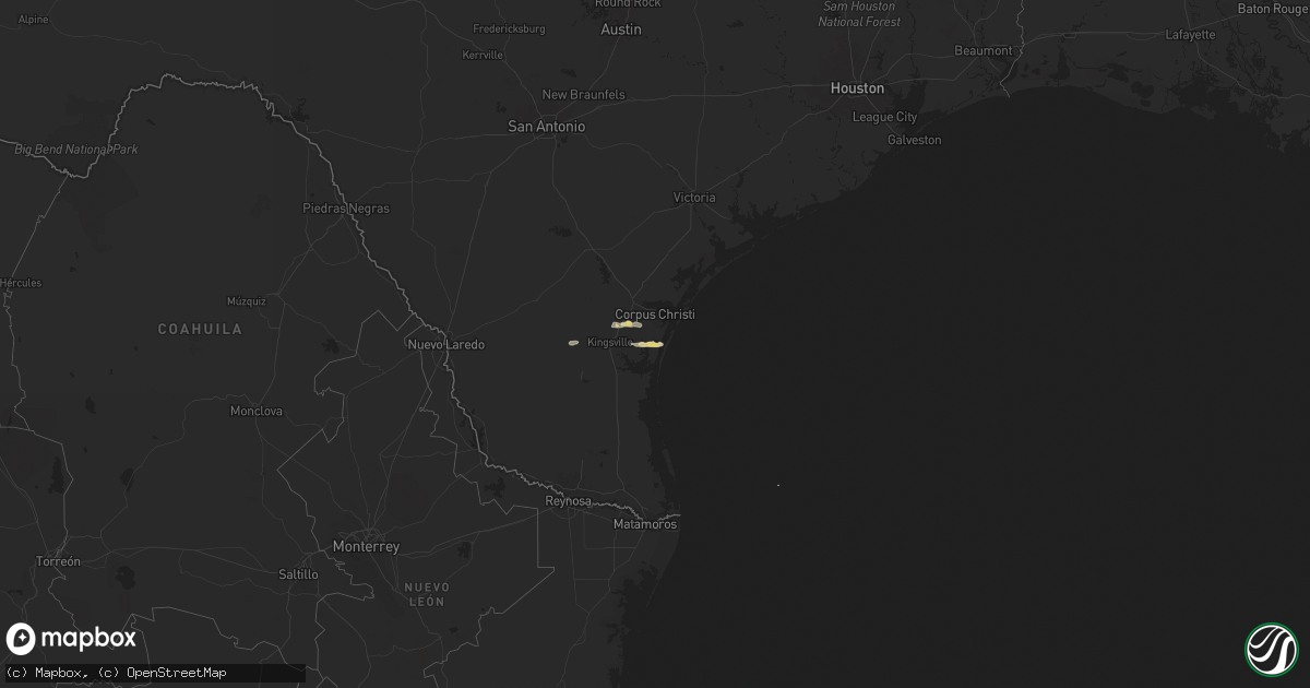
Hail Map on April 21, 2024
Get this storm
April 21 map
$229
one time, instant access
Download today. No call, no setup
Keep the $229
Bought the map and want the full workflow? Apply the entire $229 to a subscription within 7 days. None of it is wasted.
Every map, not just this one
This buys you this map. Subscription and you get every map we run, in the markets you choose from a few cities to whole states to nationwide. Plus real-time alerts the moment a storm fires.
Contact data
Name, contact info, occupancy, even credit band for addresses in the footprint. You go from where it hit to who to call.
Become the source they trust
Unlimited branding weather history reports on demand. You already have the documented answer ready for the property owner, and you are the one who showed up with it.
Property data and RoofTrace estimates
Pull up any address you have got, its value and the exact code rules for that jurisdiction, straight from One Click Code. Then RoofTrace estimates the squares, pitch, and roof value, priced the way you price.
States Impacted by Hail Map on April 21, 2024
Storm reports
South Carolina
| Date | Description |
|---|---|
| 04/21/20241:19 PM CDT | Beaufort mcas gusted to 50 kt. |
Georgia
| Date | Description |
|---|---|
| 04/21/20244:15 PM CDT | Tree down near intersection of kelwin ave and 4th street in brunswick... Ga. Image shared by broadcast media. Time based off wind gust reading of 38mph from nearest sta |