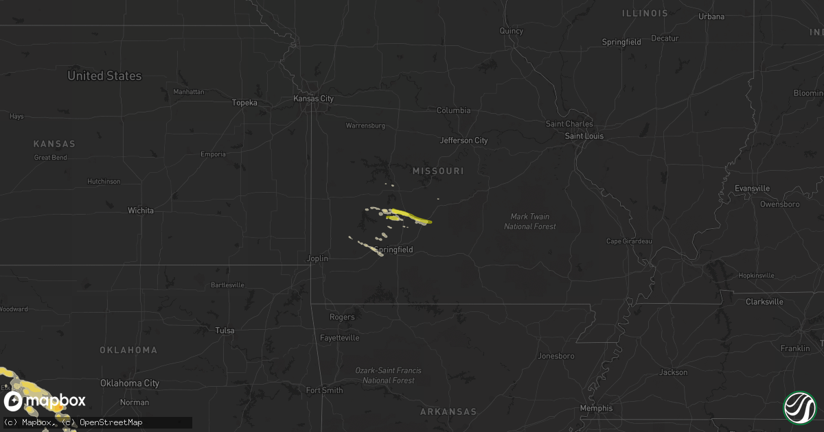
Hail Map on April 21, 2015
Get this storm
April 21 map
$229
one time, instant access
Download today. No call, no setup
Keep the $229
Bought the map and want the full workflow? Apply the entire $229 to a subscription within 7 days. None of it is wasted.
Every map, not just this one
This buys you this map. Subscription and you get every map we run, in the markets you choose from a few cities to whole states to nationwide. Plus real-time alerts the moment a storm fires.
Contact data
Name, contact info, occupancy, even credit band for addresses in the footprint. You go from where it hit to who to call.
Become the source they trust
Unlimited branding weather history reports on demand. You already have the documented answer ready for the property owner, and you are the one who showed up with it.
Property data and RoofTrace estimates
Pull up any address you have got, its value and the exact code rules for that jurisdiction, straight from One Click Code. Then RoofTrace estimates the squares, pitch, and roof value, priced the way you price.
States Impacted by Hail Map on April 21, 2015
Storm reports
Missouri
| Date | Description |
|---|---|
| 04/21/20156:25 PM CDT | Nickel to quarter sized hail |
| 04/21/20154:10 PM CDT | A local report indicates 1.00 inch wind near PHILLIPSBURG |
| 04/21/20154:05 PM CDT | A local report indicates 1.00 inch wind near 3 E BOLIVAR |
| 04/21/20153:45 PM CDT | Buffalo usps reported quarter sized hail. |
| 04/21/20153:42 PM CDT | A local report indicates 1.00 inch wind near 1 N BUFFALO |
| 04/20/20157:32 PM CDT | Trees and large branches down in rogersville. Reported via social media. |
| 04/20/20157:22 PM CDT | Ema reports quarter sized hail. |
| 04/20/20157:18 PM CDT | Large tree limbs blown down in east springfield near hwy 65 and catalpa. Report from social media. |
| 04/20/20157:15 PM CDT | Amateur radio reports tree down that is 21/2 feet in diameter. |
| 04/20/20157:13 PM CDT | Small trees blown down. Reported on social media. |
| 04/20/20157:13 PM CDT | Power lines down near j highway and summerview in rogersville. |
California
| Date | Description |
|---|---|
| 04/21/20155:55 PM CDT | Rotating cloud tornado like reported from aircraft pilot at 347pm pdt. Broadcast media later confirmed tornado with photos. Radar analysis determined that thunderstorm |
| 04/21/20155:55 PM CDT | Revised report... A landspout tornado was reported by the public. Nws remote survey indicates this tornado had a strength of ef0. |
Oklahoma
| Date | Description |
|---|---|
| 04/21/20156:37 AM CDT | A local report indicates 1.00 inch wind near 7 NW APACHE |
| 04/21/20156:13 AM CDT | Quarter to golf ball hail |
Cities Impacted by Hail Map on April 21, 2015
- Willard, MO
- Walnut Grove, MO
- Ash Grove, MO
- Republic, MO
- Bois D Arc, MO
- Lockwood, MO
- Hammon, OK
- Reydon, OK
- Durham, OK
- Fort Cobb, OK
- Carnegie, OK
- Mountain View, OK
- Cheyenne, OK
- Elk City, OK
- Sayre, OK
- Miller, MO
- South Greenfield, MO
- Buffalo, MO
- Conway, MO
- Cordell, OK
- Sentinel, OK
- Rocky, OK
- Hobart, OK
- Elgin, OK
- Lawton, OK
- Butler, OK
- Everton, MO
- Canadian, TX
- Perryton, TX
- Bolivar, MO
- Half Way, MO
- Apache, OK
- Bessie, OK
- Dill City, OK
- Foss, OK
- Canute, OK
- Corn, OK
- Clinton, OK
- Saint Augustine, FL
- Gotebo, OK
- Crawford, OK
- Stockton, MO
- Fair Play, MO
- Brighton, MO
- Pleasant Hope, MO
- Medicine Park, OK
- Halltown, MO
- Wheatland, MO
- Roosevelt, OK
- Roscoe, TX
- Long Lane, MO
- Phillipsburg, MO
- Elkland, MO
- Polk, MO
- Borger, TX
- Cross Timbers, MO
- Fair Grove, MO
- Stoutland, MO
- Ponte Vedra Beach, FL
- Higgins, TX
- Dunnegan, MO