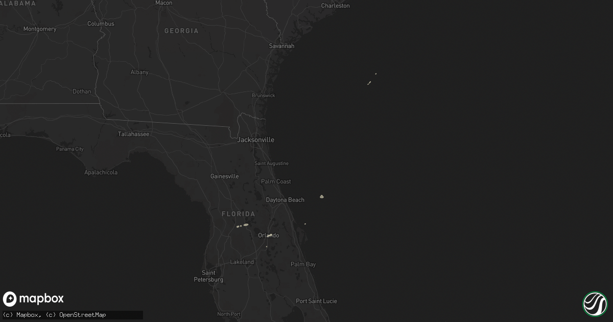
Hail Map on April 15, 2014
Get this storm
April 15 map
$229
one time, instant access
Download today. No call, no setup
Keep the $229
Bought the map and want the full workflow? Apply the entire $229 to a subscription within 7 days. None of it is wasted.
Every map, not just this one
This buys you this map. Subscription and you get every map we run, in the markets you choose from a few cities to whole states to nationwide. Plus real-time alerts the moment a storm fires.
Contact data
Name, contact info, occupancy, even credit band for addresses in the footprint. You go from where it hit to who to call.
Become the source they trust
Unlimited branding weather history reports on demand. You already have the documented answer ready for the property owner, and you are the one who showed up with it.
Property data and RoofTrace estimates
Pull up any address you have got, its value and the exact code rules for that jurisdiction, straight from One Click Code. Then RoofTrace estimates the squares, pitch, and roof value, priced the way you price.
States Impacted by Hail Map on April 15, 2014
Storm reports
Virginia
| Date | Description |
|---|---|
| 04/15/20146:54 PM CDT | A local report indicates 63 MPH wind near 1 NW SOUTH NORFOLK |
| 04/15/20146:14 PM CDT | A local report indicates 61 MPH wind near 1 E EARNESS |
| 04/14/20147:18 PM CDT | A local report indicates 58 MPH wind near OCEANA NAS |
| 04/14/20147:00 PM CDT | Large tree down on fence and 2 cars in the trent berkshire neighborhood. |
North Carolina
| Date | Description |
|---|---|
| 04/15/20146:30 PM CDT | Abandoned trailer knocked off foundation. Winds estimated by radar around 40 mph. |
| 04/15/201411:10 AM CDT | Cti gust to 62 mph |
| 04/14/201410:42 PM CDT | National ocean service hatteras coast guard observation gust to 59 kt |
| 04/14/201410:25 PM CDT | Weatherflow meso net ocracoke gust to 53 kt |
| 04/14/201410:10 PM CDT | Cti gust to 62 mph |
| 04/14/201410:07 PM CDT | Piney island asos gust to 51 kt |
| 04/14/20149:43 PM CDT | Dar bombing range asos gust to 50 kt |
| 04/14/20149:41 PM CDT | Piney island asos gust to 56 kt |
| 04/14/20148:05 PM CDT | Metal carport frame was blown off its anchors and in the process damaged deck. Small limbs were reported down. Winds were estimated to around 45 mph based on observatio |
Pennsylvania
| Date | Description |
|---|---|
| 04/15/20143:05 PM CDT | Tree down in northeast philadelphia. |
| 04/15/20142:50 PM CDT | Trees down in west philadelphia. |
| 04/15/20142:50 PM CDT | Trees down near the abington hospital. |
Florida
| Date | Description |
|---|---|
| 04/15/20141:30 PM CDT | Tree 2-3 ft in diameter fell on power lines in 200 block of ridgewood in orlando. Relayed via law enforcement and local 6. Time estimated from radar. |
| 04/15/201411:50 AM CDT | Trees were blown down along sw 165th stret west of lake wier. |
| 04/15/201411:40 AM CDT | Tree and power lines fell on a mobile home on legion road. Damage to the home reported. |
| 04/15/201411:40 AM CDT | Trees blown along se 20th ave and se 464th. |