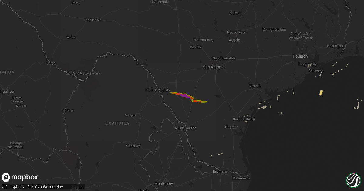
Hail Map on April 14, 2015
Get this storm
April 14 map
$229
one time, instant access
Download today. No call, no setup
Keep the $229
Bought the map and want the full workflow? Apply the entire $229 to a subscription within 7 days. None of it is wasted.
Every map, not just this one
This buys you this map. Subscription and you get every map we run, in the markets you choose from a few cities to whole states to nationwide. Plus real-time alerts the moment a storm fires.
Contact data
Name, contact info, occupancy, even credit band for addresses in the footprint. You go from where it hit to who to call.
Become the source they trust
Unlimited branding weather history reports on demand. You already have the documented answer ready for the property owner, and you are the one who showed up with it.
Property data and RoofTrace estimates
Pull up any address you have got, its value and the exact code rules for that jurisdiction, straight from One Click Code. Then RoofTrace estimates the squares, pitch, and roof value, priced the way you price.
Storm reports
Georgia
| Date | Description |
|---|---|
| 04/13/20159:00 PM CDT | Emergency manager reported 3 large trees down in the eastern portions of the county. Radar estimated wind speeds around 35 knots. |
| 04/13/20158:00 PM CDT | Nws weather spotter reported a barn collapse near the intersection of friendship umc road and hardy road in northern dodge county. Radar estimated wind speeds for the l |
Louisiana
| Date | Description |
|---|---|
| 04/14/201511:00 AM CDT | Emergency manager reported a tree down on a house and powerlines downed due to strong winds on the southeast side of houma. |
Florida
| Date | Description |
|---|---|
| 04/13/20157:55 PM CDT | Media relayed the sheriffs office report of a large tree downed on a power pole near the intersection of moody ave and suzanne ave. |
North Carolina
| Date | Description |
|---|---|
| 04/14/20156:30 PM CDT | One out-building blown down and another nearby out-building moved off its foundation. A portion of an adjacent fence was blown down... And minor shingle damage occurred t (ra |
| 04/14/20156:26 PM CDT | 2 foot diameter tall oak tree uprooted and blown across the road...near the intersection of us-1 and wise-five forks road. |
Texas
| Date | Description |
|---|---|
| 04/14/201510:20 AM CDT | Wind gust measured at eagle point ports |
| 04/14/20159:30 AM CDT | A number of trees down blocking streets. |
| 04/14/20157:36 AM CDT | Measured at bob hall pier. |
| 04/14/20157:10 AM CDT | Measured at the ingleside/ktfp awos. |
| 04/14/20157:00 AM CDT | Gas station island cover toppled. |
Cities Impacted by Hail Map on April 14, 2015
- Swainsboro, GA
- Perkinston, MS
- Parrott, GA
- Dawson, GA
- Franklin, LA
- Uriah, AL
- Linn, TX
- Saucier, MS
- Elba, AL
- Wrightsville, GA
- Santa Elena, TX
- Corpus Christi, TX
- Bacliff, TX
- Dickinson, TX
- Pass Christian, MS
- Belle Rose, LA
- Adrian, GA
- Fort Gaines, GA
- Plaquemine, LA
- Saint Martinville, LA
- Ozark, AL
- Skipperville, AL
- Slidell, LA
- Lacombe, LA
- Gibson, LA
- Jeanerette, LA
- Citronelle, AL
- Newville, AL
- Troy, AL
- Wiggins, MS
- Kaplan, LA
- Lucedale, MS
- Portland, TX
- Marianna, FL
- Gulfport, MS
- Frisco City, AL
- Kiln, MS
- Diamondhead, MS
- Santa Fe, TX
- Asherton, TX
- Big Wells, TX
- Carrizo Springs, TX
- Cotulla, TX