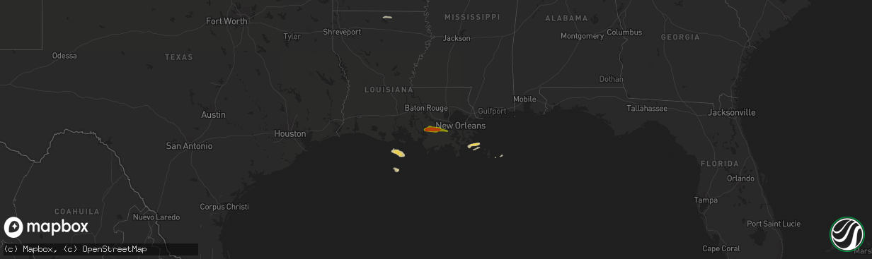
Hail Map on April 13, 2016
The weather event on April 13, 2016 includes Hail map. 1 state and 13 cities were impacted and suffered possible damage. The total estimated number of properties impacted is 15,925.
Want more than just the map?
Turn this storm into a full workflow.
- Owner + property data so you know who to knock
- OnDemand branded weather history reports to win the "did we even have hail?" argument
- RoofTrace estimate so reps stop guessing numbers at the door
Bought this map? Upgrade within 7 days and we'll credit the $230. (10-15 min setup call)
Hail
15,925
Estimated number of impacted properties by a 1.00" hail or larger4,658
Estimated number of impacted properties by a 1.75" hail or larger0
Estimated number of impacted properties by a 2.50" hail or largerStates Impacted by Hail Map on April 13, 2016
Storm reports
Louisiana
| Date | Description |
|---|---|
| 04/13/201610:01 AM CDT | 4 utility poles knocked down and a fema trailer blown over in west pointe a la hache. Probable tornado. |
| 04/13/20166:35 AM CDT | Public reports one inch hail on union parish sheriff office facebook page between farmerville and marion on hwy 33. |
| 04/13/20166:10 AM CDT | A picture of quarter size hail was posted to the union parish sheriffs office facebook page that was taken at the intersection of la 15 and la 549 just north of farmerv |