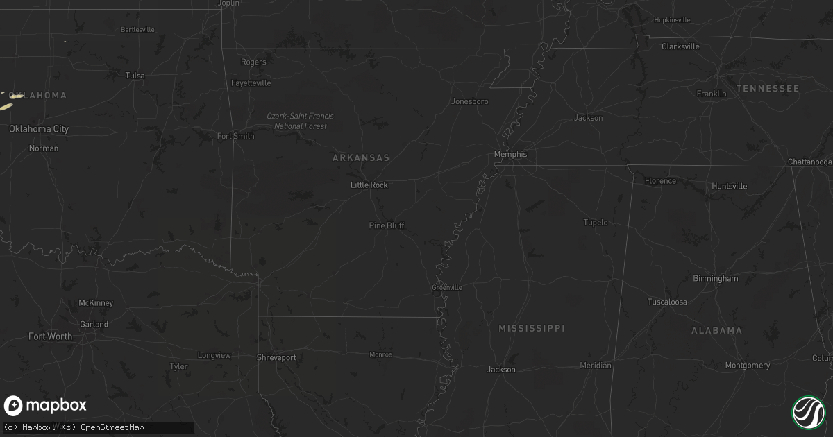
Hail Map on April 6, 2012
Get this storm
April 6 map
$229
one time, instant access
Download today. No call, no setup
Keep the $229
Bought the map and want the full workflow? Apply the entire $229 to a subscription within 7 days. None of it is wasted.
Every map, not just this one
This buys you this map. Subscription and you get every map we run, in the markets you choose from a few cities to whole states to nationwide. Plus real-time alerts the moment a storm fires.
Contact data
Name, contact info, occupancy, even credit band for addresses in the footprint. You go from where it hit to who to call.
Become the source they trust
Unlimited branding weather history reports on demand. You already have the documented answer ready for the property owner, and you are the one who showed up with it.
Property data and RoofTrace estimates
Pull up any address you have got, its value and the exact code rules for that jurisdiction, straight from One Click Code. Then RoofTrace estimates the squares, pitch, and roof value, priced the way you price.
Storm reports
South Dakota
| Date | Description |
|---|---|
| 04/06/20124:54 PM CDT | Hail covering the ground |
Florida
| Date | Description |
|---|---|
| 04/06/201212:40 PM CDT | A trained weather spotter reported quarter sized hail 1 to 2 miles southeast of the driftwood estates near hollywood blvd and south 28th ave |
| 04/06/20129:00 AM CDT | A local report indicates 1.00 inch wind near EAST NAPLES |
| 04/06/20128:55 AM CDT | Reported near collier boulevard 1 mile south of immokalee road. |
| 04/06/20128:55 AM CDT | A local report indicates 1.00 inch wind near NAPLES |
Wyoming
| Date | Description |
|---|---|
| 04/06/20123:30 PM CDT | A local report indicates 78 MPH wind near 3 SW HWY JCT 170 AND 12 |
| 04/06/20122:42 PM CDT | Nickel to quarter size hail |
Oklahoma
| Date | Description |
|---|---|
| 04/06/20122:25 AM CDT | A local report indicates 1.00 inch wind near 5 NNE OKARCHE |
| 04/06/20122:20 AM CDT | A local report indicates 1.00 inch wind near 4 WNW OKARCHE |
Nebraska
| Date | Description |
|---|---|
| 04/06/20126:05 PM CDT | One rail car turned over at the railyard on the south side of alliance from possible tornado. |
Texas
| Date | Description |
|---|---|
| 04/05/201210:36 PM CDT | A local report indicates 1.25 inch wind near 10 SE CRANE |
| 04/05/201210:16 PM CDT | Quarter to half dollar size. |
| 04/05/201210:11 PM CDT | A local report indicates 1.50 inch wind near 1 S CRANE |
| 04/05/20129:58 PM CDT | Quarter to half dollar size. |
| 04/05/20129:17 PM CDT | Golfball to 2 inch size hail. |
| 04/05/20129:17 PM CDT | A local report indicates 65 MPH wind near 12 E TUBBS CORNER |
| 04/05/20129:09 PM CDT | Quarter to half dollar size hail. Possible wall cloud. |
| 04/05/20128:31 PM CDT | Quarter size hail and 60 mph winds reported north of white deer |
| 04/05/20128:31 PM CDT | Quarter size hail and 60 mph winds reported north of white deer |
| 04/05/20127:55 PM CDT | Quarter and penny size hail reported in panhandle |
Cities Impacted by Hail Map on April 6, 2012
- Alliance, NE
- Big Springs, NE
- Kingfisher, OK
- Hay Springs, NE
- Rushville, NE
- Chadron, NE
- Rapid City, SD
- White Deer, TX
- Skellytown, TX
- Pampa, TX
- Randolph, KS
- Sundance, WY
- Crane, TX
- Piedmont, SD
- Sturgis, SD
- Panhandle, TX
- Hermosa, SD
- Deerfield Beach, FL
- Pompano Beach, FL
- Oshkosh, NE
- Bingham, NE
- Ashby, NE
- Lakeside, NE
- Ellsworth, NE
- Okarche, OK
- Bennington, KS
- Naples, FL
- Hollywood, FL
- Little River, KS
- Salina, KS
- Tescott, KS
- Keystone, SD
- McCamey, TX
- Calumet, OK
- Miami, TX
- Oelrichs, SD
- Canadian, TX
- Mobeetie, TX
- Bridgeport, NE
- Edgemont, SD
- Manhattan, KS
- Hallandale, FL
- Box Elder, SD
- Caputa, SD
- New Underwood, SD
- Lewellen, NE
- Minneapolis, KS
- Geary, OK