Hail Map on April 5, 2026
Get this storm
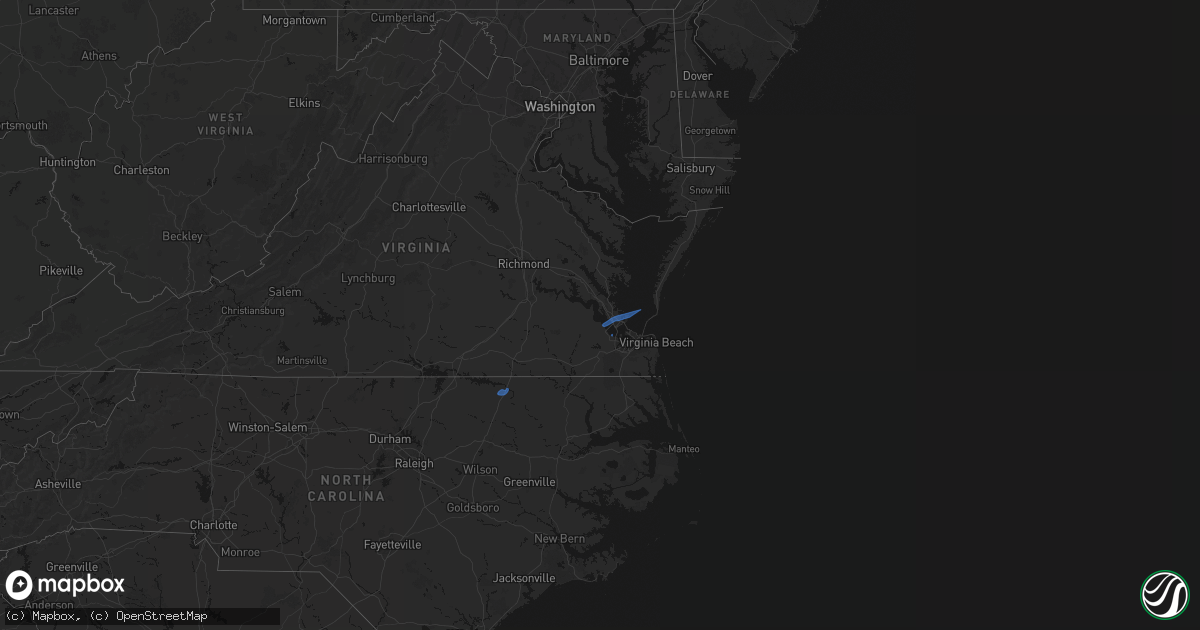
April 5 map
$229
one time, instant access
Download today. No call, no setup
Keep the $229
Bought the map and want the full workflow? Apply the entire $229 to a subscription within 7 days. None of it is wasted.
Every map, not just this one
This buys you this map. Subscription and you get every map we run, in the markets you choose from a few cities to whole states to nationwide. Plus real-time alerts the moment a storm fires.
Contact data
Name, contact info, occupancy, even credit band for addresses in the footprint. You go from where it hit to who to call.
Become the source they trust
Unlimited branding weather history reports on demand. You already have the documented answer ready for the property owner, and you are the one who showed up with it.
Property data and RoofTrace estimates
Pull up any address you have got, its value and the exact code rules for that jurisdiction, straight from One Click Code. Then RoofTrace estimates the squares, pitch, and roof value, priced the way you price.
States Impacted by Hail Map on April 5, 2026
Storm reports
Virginia
| Date | Description |
|---|---|
| 04/05/20262:15 PM CDT | Tree down along moses grandy trail in chesapeake near us 17 and millville rd. |
| 04/05/20261:57 PM CDT | Awos station kngu norfolk nas cham. |
| 04/05/20261:30 PM CDT | Several reports of trees down in isle of wight county south of windsor blvd. Time estimated from radar. |
| 04/05/20261:26 PM CDT | Tree on a house and missing shingles from another house in smithfield. Relayed via nws employee. Time estimated from radar. |
North Carolina
| Date | Description |
|---|---|
| 04/05/202612:22 PM CDT | Power line down near clinton st and roanoke ave. |
| 04/05/202612:22 PM CDT | Tree down along 700 block of carolina avenue. |
| 04/05/202612:22 PM CDT | Tree down along 1000 block of hamilton st. |
| 04/04/202611:40 PM CDT | *** 1 inj *** delayed report. In coordination with pamlico county emergency management... A survey of damage along hwy 55 in stonewall found damage consistent with stra |
South Carolina
| Date | Description |
|---|---|
| 04/05/20261:30 PM CDT | One tree down and part of another tree snapped in temperance hill. |