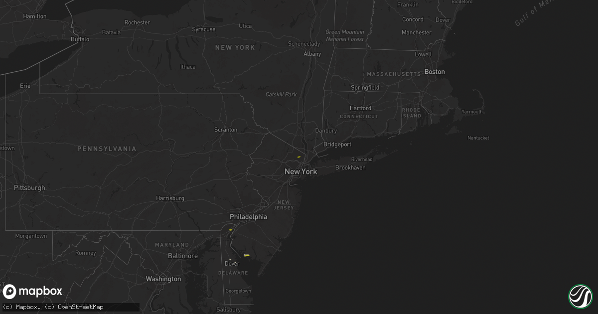
Hail Map on April 2, 2016
Get this storm
April 2 map
$229
one time, instant access
Download today. No call, no setup
Keep the $229
Bought the map and want the full workflow? Apply the entire $229 to a subscription within 7 days. None of it is wasted.
Every map, not just this one
This buys you this map. Subscription and you get every map we run, in the markets you choose from a few cities to whole states to nationwide. Plus real-time alerts the moment a storm fires.
Contact data
Name, contact info, occupancy, even credit band for addresses in the footprint. You go from where it hit to who to call.
Become the source they trust
Unlimited branding weather history reports on demand. You already have the documented answer ready for the property owner, and you are the one who showed up with it.
Property data and RoofTrace estimates
Pull up any address you have got, its value and the exact code rules for that jurisdiction, straight from One Click Code. Then RoofTrace estimates the squares, pitch, and roof value, priced the way you price.
States Impacted by Hail Map on April 2, 2016
Storm reports
Delaware
| Date | Description |
|---|---|
| 04/01/201611:48 PM CDT | A local report indicates 60 MPH wind near DEWEY BEACH |
| 04/01/201611:26 PM CDT | 3 trees blown into homes. Mobile home blown over. Time estimated based on radar. |
| 04/01/201611:16 PM CDT | Tractor trailer blown over in a shopping center parking lot. Time estimated based on radar. |
| 04/01/201611:14 PM CDT | Tree into a house. Time estimated based on radar. |
| 04/01/201610:59 PM CDT | Front windows of a grocery store blown out. Time estimated based on radar. |
| 04/01/201610:15 PM CDT | A local report indicates 1.00 inch wind near WILMINGTON |
| 04/01/201610:05 PM CDT | Tree toppled over hitting a house in newark. |
Maryland
| Date | Description |
|---|---|
| 04/01/201611:10 PM CDT | 500 t0 600 foot chicken coop blown off its foundation. Time estimated based on radar. |
| 04/01/201610:59 PM CDT | Trees down near hurlock. |
West Virginia
| Date | Description |
|---|---|
| 04/01/201610:06 PM CDT | Tree down in the forest heights subdivision near kmrb |
Pennsylvania
| Date | Description |
|---|---|
| 04/01/201610:45 PM CDT | A local report indicates 59 MPH wind near NE PHILADELPHIA AIRPORT |
| 04/01/201610:07 PM CDT | Trees down and electric transformers exploded. |
New Jersey
| Date | Description |
|---|---|
| 04/01/201611:54 PM CDT | Quarter size hail |
| 04/01/201611:50 PM CDT | A local report indicates 59 MPH wind near BRICK TWP |
| 04/01/201611:48 PM CDT | A local report indicates 58 MPH wind near POINT PLEASANT BEACH |
| 04/01/201611:20 PM CDT | Trees down and shingles off of home. A 32-foot camper flipped over. Wind gust measured to 71 mph. |
| 04/01/201611:20 PM CDT | 71 mph wind gust measured on home davis weather station. |
| 04/01/201611:17 PM CDT | Extensive trees/poles damage weston canal rd-weston rd intsectn to i-287-easton rd. Radar time est. |
| 04/01/201611:12 PM CDT | Damage to the roof of st. Ann school. Two commercial dumpsters blown over. |
| 04/01/201611:11 PM CDT | A local report indicates 60 MPH wind near JOINT BASE MDL |
| 04/01/201610:55 PM CDT | A local report indicates 1.00 inch wind near NEWPORT |
| 04/01/201610:55 PM CDT | Tree limbs down. |
| 04/01/201610:45 PM CDT | Pole barn roof ripped off and extensive tree damage |
| 04/01/201610:45 PM CDT | Six power poles down along nj-77 across from walmart. Large metal clothes donation container was blown out of the walmart parking lot and across route 77. |
| 04/01/201610:40 PM CDT | Trees down. |
| 04/01/201610:35 PM CDT | Estimated maximum winds of 85 mph. Damage was concentrated on the western end of shoemaker lane in hopwell township. Numerous trees were sheared off and some uprooted. |
| 04/01/201610:35 PM CDT | Damage was concentrated near the walmart on route 77 in bridgeton...where several power poles and trees were felled. |