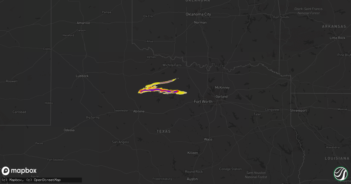
Hail Map on April 1, 2014
Get this storm
April 1 map
$229
one time, instant access
Download today. No call, no setup
Keep the $229
Bought the map and want the full workflow? Apply the entire $229 to a subscription within 7 days. None of it is wasted.
Every map, not just this one
This buys you this map. Subscription and you get every map we run, in the markets you choose from a few cities to whole states to nationwide. Plus real-time alerts the moment a storm fires.
Contact data
Name, contact info, occupancy, even credit band for addresses in the footprint. You go from where it hit to who to call.
Become the source they trust
Unlimited branding weather history reports on demand. You already have the documented answer ready for the property owner, and you are the one who showed up with it.
Property data and RoofTrace estimates
Pull up any address you have got, its value and the exact code rules for that jurisdiction, straight from One Click Code. Then RoofTrace estimates the squares, pitch, and roof value, priced the way you price.
Storm reports
Missouri
| Date | Description |
|---|---|
| 04/01/20142:06 PM CDT | Missouri highway patrol observed quarter sized hail along interstate 44 at mile marker 28. |
Texas
| Date | Description |
|---|---|
| 04/01/20146:40 PM CDT | A local report indicates 1.75 inch wind near 7 SSE HASKELL |
| 03/31/20149:20 PM CDT | A local report indicates 1.50 inch wind near OLNEY |
| 03/31/20148:27 PM CDT | Time estimated based on radar. |
| 03/31/20148:26 PM CDT | A local report indicates 2.50 inch wind near 11 SW NEWCASTLE |
| 03/31/20148:24 PM CDT | A local report indicates 1.75 inch wind near 6 SW NEWCASTLE |
| 03/31/20148:15 PM CDT | Hail from pea size to golfball size covering highway 183 from the intersection of highways 183 and 283 6 miles south of throckmorton to woodson. |
| 03/31/20148:10 PM CDT | A local report indicates 1.50 inch wind near 10 NW THROCKMORTON |
| 03/31/20148:05 PM CDT | Quarter size hail covering the road 4 miles south of throckmorton |
| 03/31/20148:00 PM CDT | Baseball hail covering the ground. |
| 03/31/20148:00 PM CDT | A local report indicates 1.75 inch wind near 3 N WOODSON |
| 03/31/20147:00 PM CDT | A local report indicates 1.75 inch wind near 8 SSE HASKELL |
Kansas
| Date | Description |
|---|---|
| 04/01/20143:22 AM CDT | Mostly nickel sized. |
| 04/01/20143:03 AM CDT | The hail occurred briefly. |
California
| Date | Description |
|---|---|
| 04/01/20143:30 AM CDT | Photo of hail provided. |
Cities Impacted by Hail Map on April 1, 2014
- Stamford, TX
- Haskell, TX
- Throckmorton, TX
- Otterville, MO
- Olney, TX
- Newcastle, TX
- Jacksboro, TX
- Woodson, TX
- Bryson, TX
- Graham, TX
- Lenexa, KS
- Overland Park, KS
- Olathe, KS
- Sarcoxie, MO
- Carthage, MO
- Toronto, KS
- Bates City, MO
- Henrietta, TX
- Graford, TX
- Perrin, TX
- Rule, TX
- Poolville, TX
- Windthorst, TX
- Whitt, TX
- Smithton, MO
- Junction City, KS
- Diamond, MO
- Reeds, MO
- Loving, TX
- Leeton, MO
- Waterloo, IL
- New Athens, IL
- Yates Center, KS
- Paola, KS
- Osawatomie, KS
- Grain Valley, MO
- Blue Springs, MO
- Oak Grove, MO
- Bunceton, MO
- Chilhowee, MO
- Stotts City, MO
- La Russell, MO