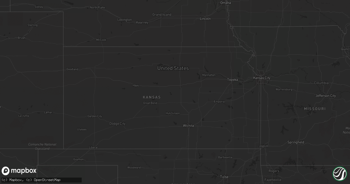
Hail Map on March 26, 2012
Get this storm
March 26 map
$229
one time, instant access
Download today. No call, no setup
Keep the $229
Bought the map and want the full workflow? Apply the entire $229 to a subscription within 7 days. None of it is wasted.
Every map, not just this one
This buys you this map. Subscription and you get every map we run, in the markets you choose from a few cities to whole states to nationwide. Plus real-time alerts the moment a storm fires.
Contact data
Name, contact info, occupancy, even credit band for addresses in the footprint. You go from where it hit to who to call.
Become the source they trust
Unlimited branding weather history reports on demand. You already have the documented answer ready for the property owner, and you are the one who showed up with it.
Property data and RoofTrace estimates
Pull up any address you have got, its value and the exact code rules for that jurisdiction, straight from One Click Code. Then RoofTrace estimates the squares, pitch, and roof value, priced the way you price.
States Impacted by Hail Map on March 26, 2012
Storm reports
Utah
| Date | Description |
|---|---|
| 03/26/20129:00 AM CDT | Semi blown over on interstate 15 at point of the mountain. 73 mph wind gust measured by udot portable rwis utpr2 |
Texas
| Date | Description |
|---|---|
| 03/26/20126:55 PM CDT | Quarter hail at pearcy farms. |
| 03/26/20126:15 PM CDT | Quarter hail 10 miles west of fort stockton on i-10. |
| 03/25/20128:45 PM CDT | Reports of pea to quarter size hail received from south and southeast of dumas |
| 03/25/20128:45 PM CDT | Dime to quarter size hail reported near dumas |
Montana
| Date | Description |
|---|---|
| 03/26/20126:50 PM CDT | A local report indicates 58 MPH wind near 5 NW ACTON |
| 03/25/20127:30 PM CDT | A local report indicates 62 MPH wind near 1 E SHEPHERD |
South Dakota
| Date | Description |
|---|---|
| 03/25/20129:00 PM CDT | Estimated 70 mph winds around 900 pm. |
| 03/25/20128:45 PM CDT | Timber lake sdsu observation site. Trees toppled around the town. |
| 03/25/20128:31 PM CDT | A local report indicates 60 MPH wind near 7 SSW PLAINVIEW |
| 03/25/20127:31 PM CDT | A local report indicates 58 MPH wind near RAPID CITY AIRPORT |
Cities Impacted by Hail Map on March 26, 2012
- Eagle Pass, TX
- Voltaire, ND
- Butte, ND
- Rugby, ND
- Drake, ND
- Balfour, ND
- Karlsruhe, ND
- Towner, ND
- Center, ND
- Tappen, ND
- McIntosh, SD
- Hazelton, ND
- Flasher, ND
- Keldron, SD
- Fort Stockton, TX
- Carrizo Springs, TX
- Crystal City, TX
- Turtle Lake, ND
- Ruso, ND
- Mandan, ND
- Meadow, SD
- Medina, ND
- Imperial, TX
- Dawson, ND
- New Salem, ND
- Washburn, ND
- Underwood, ND
- Carson, ND
- Solen, ND
- Raleigh, ND
- Watauga, SD
- Sheffield, TX
- Wall, SD
- Howes, SD
- Sterling, ND
- Wolford, ND
- Mylo, ND
- Morristown, SD
- Dupree, SD
- Selfridge, ND
- Woodworth, ND
- Big Wells, TX
- Pettibone, ND
- Cherry Creek, SD
- Mercer, ND
- Faith, SD
- Big Falls, MN
- Stinnett, TX
- Quemado, TX