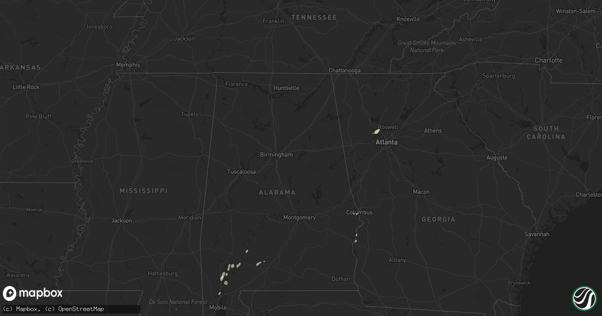
Hail Map on March 22, 2012
Get this storm
March 22 map
$229
one time, instant access
Download today. No call, no setup
Keep the $229
Bought the map and want the full workflow? Apply the entire $229 to a subscription within 7 days. None of it is wasted.
Every map, not just this one
This buys you this map. Subscription and you get every map we run, in the markets you choose from a few cities to whole states to nationwide. Plus real-time alerts the moment a storm fires.
Contact data
Name, contact info, occupancy, even credit band for addresses in the footprint. You go from where it hit to who to call.
Become the source they trust
Unlimited branding weather history reports on demand. You already have the documented answer ready for the property owner, and you are the one who showed up with it.
Property data and RoofTrace estimates
Pull up any address you have got, its value and the exact code rules for that jurisdiction, straight from One Click Code. Then RoofTrace estimates the squares, pitch, and roof value, priced the way you price.
States Impacted by Hail Map on March 22, 2012
Storm reports
North Carolina
| Date | Description |
|---|---|
| 03/22/20125:03 PM CDT | Quarter sized hail on parson street |
| 03/22/20125:00 PM CDT | 3 trees down on hwy 131. |
| 03/22/20124:58 PM CDT | Tree down on hwy 131 |
| 03/22/20124:55 PM CDT | A local report indicates 1.00 inch wind near BLADENBORO |
| 03/22/20124:50 PM CDT | A local report indicates 1.00 inch wind near 3 N BLADENBORO |
| 03/22/20124:46 PM CDT | A local report indicates 1.00 inch wind near 3 N BLADENBORO |
Arkansas
| Date | Description |
|---|---|
| 03/21/20129:07 PM CDT | Hail up to the size of quarters was falling on skyline drive in northeast pike county. |
| 03/21/20129:00 PM CDT | About a dozen trees blown down on the north side of lake ouachita...2 of them blocking austin lane and cedar fourche road. |
Georgia
| Date | Description |
|---|---|
| 03/21/20128:25 PM CDT | A wsb-tv news reporter confirmed a large hardwood tree broke off at the ground level and fell on the roof of a car in the hickory walk subdivision off whitlock avenue. |
Kansas
| Date | Description |
|---|---|
| 03/22/20124:45 PM CDT | Tree branches broken off due to strong wind gust. Branch diameter not specified. |
Cities Impacted by Hail Map on March 22, 2012
- Gainestown, AL
- Marietta, GA
- Jackson, AL
- Wagarville, AL
- McIntosh, AL
- Brethren, MI
- Manistee, MI
- Wellston, MI
- Georgetown, GA
- Bladenboro, NC
- Phenix City, AL
- Powder Springs, GA
- Brighton, MI
- Howell, MI
- Pinckney, MI
- Delight, AR
- Washington, AR
- Blevins, AR
- Repton, AL
- Monroeville, AL
- Gheens, LA
- Cut Off, LA
- Marrero, LA
- Franklin, AL
- Long Beach, MS
- Lumpkin, GA
- Kirby, AR
- Murfreesboro, AR
- Nashville, AR
- Larose, LA
- Lesterville, MO
- Ironton, MO
- Annapolis, MO
- Picayune, MS
- Evergreen, AL
- Westwego, LA
- Centerville, MO
- Port Sulphur, LA
- Ama, LA
- Whitmore Lake, MI
- Pass Christian, MS
- Middle Brook, MO
- Axis, AL