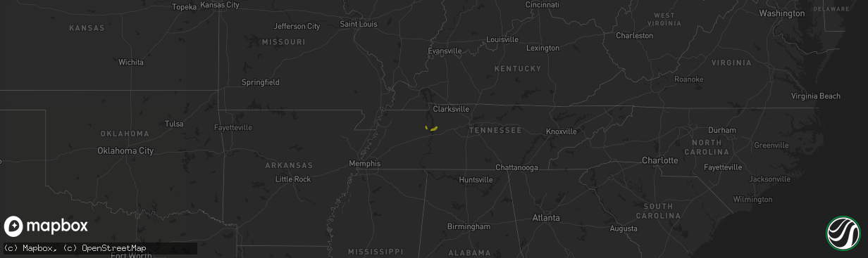
Hail Map on March 17, 2013
The weather event on March 17, 2013 includes Hail map. 1 state and 4 cities were impacted and suffered possible damage. The total estimated number of properties impacted is 1,844.
Want more than just the map?
Turn this storm into a full workflow.
- Owner + property data so you know who to knock
- OnDemand branded weather history reports to win the "did we even have hail?" argument
- RoofTrace estimate so reps stop guessing numbers at the door
Bought this map? Upgrade within 7 days and we'll credit the $230. (10-15 min setup call)
Hail
1,844
Estimated number of impacted properties by a 1.00" hail or larger0
Estimated number of impacted properties by a 1.75" hail or larger0
Estimated number of impacted properties by a 2.50" hail or largerStates Impacted by Hail Map on March 17, 2013
Storm reports
New Mexico
| Date | Description |
|---|---|
| 03/17/20134:14 PM CDT | Melrose range raws. |
Missouri
| Date | Description |
|---|---|
| 03/17/20133:49 PM CDT | Along james river expressway |
| 03/17/20133:35 PM CDT | Hail covering road |
| 03/17/20133:26 PM CDT | Amateur radio reports hail on hwy 13 3 miles north of crane. |
Texas
| Date | Description |
|---|---|
| 03/17/20136:45 PM CDT | Measured by the west texas mesonet |
| 03/17/20136:30 PM CDT | Measured by the west texas mesonet |
| 03/17/20136:25 PM CDT | Power lines blown down along highway 207 |
| 03/17/20136:06 PM CDT | A local report indicates 58 MPH wind near 2 N BORGER |
| 03/17/20135:35 PM CDT | Measured by the west texas mesonet |
| 03/17/20135:35 PM CDT | Measured by the west texas mesonet |
| 03/17/20135:30 PM CDT | Measured by the west texas mesonet |
| 03/17/20135:30 PM CDT | Power line and power pole pushed over on northeast side of loop 335 |
| 03/17/20135:30 PM CDT | A local report indicates 60 MPH wind near 6 ENE AMARILLO |
| 03/17/20135:28 PM CDT | Measured by the schoolnet site at the hart elementary school |
| 03/17/20135:20 PM CDT | A local report indicates 60 MPH wind near 8 SSW AMARILLO |
| 03/17/20135:17 PM CDT | A local report indicates 60 MPH wind near 6 SW AMARILLO |
| 03/17/20135:14 PM CDT | A local report indicates 60 MPH wind near DUMAS |
| 03/17/20135:12 PM CDT | A local report indicates 61 MPH wind near 3 E BUSHLAND |
| 03/17/20135:10 PM CDT | A local report indicates 58 MPH wind near 2 WNW HEREFORD |
| 03/17/20135:07 PM CDT | A local report indicates 60 MPH wind near 3 E BUSHLAND |
| 03/17/20134:28 PM CDT | A local report indicates 58 MPH wind near 11 WNW BOOTLEG |
| 03/17/20134:15 PM CDT | Tree limbs blown down |
| 03/17/20134:04 PM CDT | A local report indicates 58 MPH wind near 11 WNW BOOTLEG |