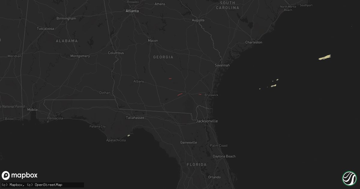
Hail Map on March 9, 2024
Get this storm
March 9 map
$229
one time, instant access
Download today. No call, no setup
Keep the $229
Bought the map and want the full workflow? Apply the entire $229 to a subscription within 7 days. None of it is wasted.
Every map, not just this one
This buys you this map. Subscription and you get every map we run, in the markets you choose from a few cities to whole states to nationwide. Plus real-time alerts the moment a storm fires.
Contact data
Name, contact info, occupancy, even credit band for addresses in the footprint. You go from where it hit to who to call.
Become the source they trust
Unlimited branding weather history reports on demand. You already have the documented answer ready for the property owner, and you are the one who showed up with it.
Property data and RoofTrace estimates
Pull up any address you have got, its value and the exact code rules for that jurisdiction, straight from One Click Code. Then RoofTrace estimates the squares, pitch, and roof value, priced the way you price.
Storm reports
Florida
| Date | Description |
|---|---|
| 03/09/202410:25 AM CST | Trees down along dills road. |
| 03/09/20249:42 AM CST | Leon county emergency manager reported a tree down on some power lines along veterans memorial drive near miccosukee. Timing estimated by radar. |
South Carolina
| Date | Description |
|---|---|
| 03/09/20246:54 AM CST | The national ocean service tide gage wind sensor measured a 51 knot wind gust. The sensor is located on the roof of the charleston branch pilots association building at |
| 03/09/20246:49 AM CST | Several large windows blown out at a tire business on wesley dr. The wind also caused damage to the accoustic tile ceiling. |
| 03/09/20246:49 AM CST | Several large windows blown out at a tire business on wesley dr. The wind also caused damage to the accoustic tile ceiling. Sheet metal from the roof of this building a |
Georgia
| Date | Description |
|---|---|
| 03/09/202412:45 PM CST | Mobile home and tree damage across the general area of long lake rd... Possible tornado damage. Time estimated from radar. |
| 03/09/202412:45 PM CST | Emergency manager reports significant structural damage to homes on matthews circle... Possible tornado... Possible injuries. Time estimated from radar. |
| 03/09/202411:45 AM CST | *** 5 inj *** a tornado touched down near santa fe road about 2 miles to the southeast of nahunta around 140 pm and traveled east to northeast snapping trees at the tru |
| 03/09/202411:25 AM CST | Large tree uprooted... Photo on social media. Possible tornado damage. Time estimated from radar. |
| 03/09/20246:30 AM CST | Coffee county emergency management relayed multiple reports of a tornado on the ground near the griffin rd/old coffee rd/highway 206 area west of broxton. Also report o |
| 03/09/20246:05 AM CST | There were 4 reports of trees down in mitchell county. |