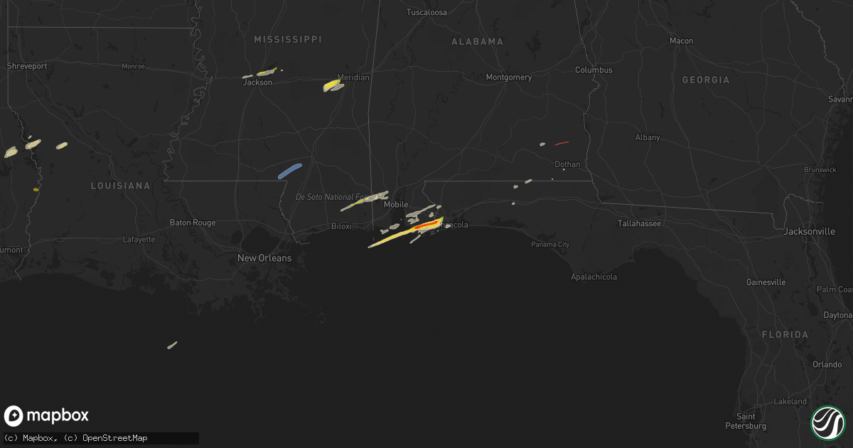
Hail Map on March 8, 2024
Get this storm
March 8 map
$229
one time, instant access
Download today. No call, no setup
Keep the $229
Bought the map and want the full workflow? Apply the entire $229 to a subscription within 7 days. None of it is wasted.
Every map, not just this one
This buys you this map. Subscription and you get every map we run, in the markets you choose from a few cities to whole states to nationwide. Plus real-time alerts the moment a storm fires.
Contact data
Name, contact info, occupancy, even credit band for addresses in the footprint. You go from where it hit to who to call.
Become the source they trust
Unlimited branding weather history reports on demand. You already have the documented answer ready for the property owner, and you are the one who showed up with it.
Property data and RoofTrace estimates
Pull up any address you have got, its value and the exact code rules for that jurisdiction, straight from One Click Code. Then RoofTrace estimates the squares, pitch, and roof value, priced the way you price.
States Impacted by Hail Map on March 8, 2024
Storm reports
Alabama
| Date | Description |
|---|---|
| 03/08/20244:10 AM CST | Line reported down in the samson area. |
| 03/08/20242:19 AM CST | The houston county em mentioned two or three trees down in the wicksburg area. Timing estimated by radar. |
| 03/08/20242:15 AM CST | Numerous reports of quarter to golf ball size hail in lillian. Pictures and reports via social media. |
| 03/08/20242:12 AM CST | Numerous reports of quarter to ping pong ball size hail in elberta. Pictures and reports via social media. |
| 03/08/20242:10 AM CST | Numerous reports of quarter to golf ball size hail reported in the foley community. Pictures and reports via social media. |
| 03/08/20242:10 AM CST | Trees down along highway 10 east. |
| 03/08/20241:43 AM CST | Reports of pea to half dollar size hail on the east end of dauphin island. Pictures and reports via social media. |
| 03/08/20241:37 AM CST | Tree down on east county road 36. |
| 03/08/20241:35 AM CST | Tree down along jernigan road. |
| 03/08/20241:35 AM CST | Tree down at 637 mixon school road. |
Florida
| Date | Description |
|---|---|
| 03/08/20242:30 AM CST | Several reports of at least quarter size hail in the bellview community. Pictures and reports via social media. |
Texas
| Date | Description |
|---|---|
| 03/08/202411:21 AM CST | A few trees snapped and uprooted on hwy 87 south of shelbyville. |
| 03/08/202411:14 AM CST | Corrected time. A few trees snapped and uprooted on hwy 87 south of shelbyville. |
| 03/08/202411:11 AM CST | Trees down on highway 7 west and in the lakewood subdivision near center... Tx. |
Mississippi
| Date | Description |
|---|---|
| 03/08/202412:03 PM CST | Trees downed onto utility lines along valley rd. |
| 03/08/20247:56 AM CST | Tree down across red oak rd. |
| 03/08/20247:28 AM CST | Quarter size hail by smith marine along harbor drive. Time estimated by radar. |
| 03/07/202411:37 PM CST | Hail estimated to be the size of a golf ball in hurley relayed by media. Time estimated from radar. |
| 03/07/202411:35 PM CST | Social media & broadcast media report of dime sized hail and photo of hail estimated to be around or up to half dollar size from the city of harleston. Time estimated f |
Cities Impacted by Hail Map on March 8, 2024
- Ridgeland, MS
- Madison, MS
- Brandon, MS
- Newton, MS
- Hickory, MS
- Chunky, MS
- Onalaska, TX
- Crockett, TX
- Cost, TX
- Hemphill, TX
- Bronson, TX
- Grapeland, TX
- Many, LA
- San Augustine, TX
- Broaddus, TX
- Bolton, MS
- Clinton, MS
- Jackson, MS
- Jewett, TX
- Buffalo, TX
- Moscow, TX
- Pelahatchie, MS
- Tougaloo, MS
- Morton, MS
- Zwolle, LA
- Elgin, TX
- Newton, TX
- Burkeville, TX
- Sandy Hook, MS
- Columbia, MS
- Lumberton, MS
- Purvis, MS
- Provencal, LA
- Livingston, TX
- Florien, LA
- Hallsville, TX
- Marshall, TX
- Louin, MS
- Rose Hill, MS
- Enterprise, MS
- Whitehouse, TX
- Milam, TX
- Waskom, TX
- Tyler, TX
- Meridian, MS
- Defuniak Springs, FL
- Ozark, AL
- Newville, AL
- Foley, AL
- Elberta, AL
- Pensacola, FL
- Lillian, AL
- Summerdale, AL
- Silverhill, AL
- Lucedale, MS
- Fairhope, AL
- Robertsdale, AL
- Gulf Shores, AL
- Vancleave, MS
- Wilmer, AL
- Orange Beach, AL
- Dauphin Island, AL
- Cantonment, FL
- Seminole, AL
- Enterprise, AL
- Fort Rucker, AL
- Coden, AL
- Semmes, AL
- Westville, FL
- Geneva, AL
- Eight Mile, AL
- Loxley, AL
- Daphne, AL
- Mobile, AL
- Saraland, AL
- Chunchula, AL
- Dothan, AL
- Slocomb, AL