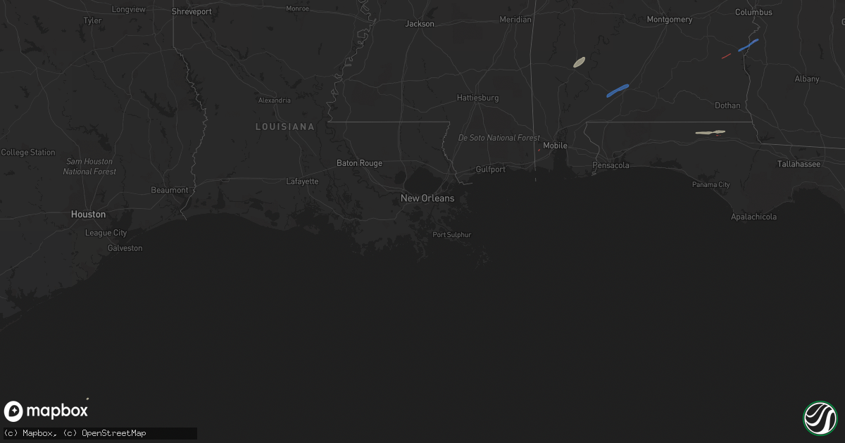
Hail Map on March 8, 2022
Get this storm
March 8 map
$229
one time, instant access
Download today. No call, no setup
Keep the $229
Bought the map and want the full workflow? Apply the entire $229 to a subscription within 7 days. None of it is wasted.
Every map, not just this one
This buys you this map. Subscription and you get every map we run, in the markets you choose from a few cities to whole states to nationwide. Plus real-time alerts the moment a storm fires.
Contact data
Name, contact info, occupancy, even credit band for addresses in the footprint. You go from where it hit to who to call.
Become the source they trust
Unlimited branding weather history reports on demand. You already have the documented answer ready for the property owner, and you are the one who showed up with it.
Property data and RoofTrace estimates
Pull up any address you have got, its value and the exact code rules for that jurisdiction, straight from One Click Code. Then RoofTrace estimates the squares, pitch, and roof value, priced the way you price.
Storm reports
Florida
| Date | Description |
|---|---|
| 03/08/20225:55 AM CST | Public posted video on social media of a brief tornado near greenwood. |
| 03/08/20225:00 AM CST | Damage to mobile homes... Barns... And sheds. Power lines and trees also damaged. Possible tornado. Time estimated by radar. |
Alabama
| Date | Description |
|---|---|
| 03/08/20224:58 AM CST | Photos of damage including a pickup truck on its side along with damage to metal structures near the intersection of state route 30 and county road 53. Possible tornado |
| 03/08/20224:53 AM CST | Trees down on county road 53. Some structural damage to houses. No injuries. |
| 03/08/20224:52 AM CST | Trees down... Some resulting in minor structural damage near this location. Possible tornado. |
| 03/08/20222:05 AM CST | Broadcast media relayed numerous reports of power outages near belleville... Al. Time estimated on radar. |
| 03/08/202212:46 AM CST | Public report of numerous snapped trees on repoll road. Caller also reported roof damage to a nearby home. Time estimated from radar. |
| 03/08/202212:42 AM CST | Broadcast media relayed numerous reports of tree damage and power outages on lakefront drive near dogwood circle. Time estimated on radar. |
| 03/08/202212:42 AM CST | Nws storm survey team found minor tree damage on lakefront ct after which the tornado tracked off to the ne. Roof damage and multiple damage to hardwood/softwood trees |
Vermont
| Date | Description |
|---|---|
| 03/07/20227:59 PM CST | Tree down on wires on middle road |
Georgia
| Date | Description |
|---|---|
| 03/08/20225:51 AM CST | Radar confirmed |
| 03/08/20225:45 AM CST | A tree was downed on hwy 39 at florence marina. |