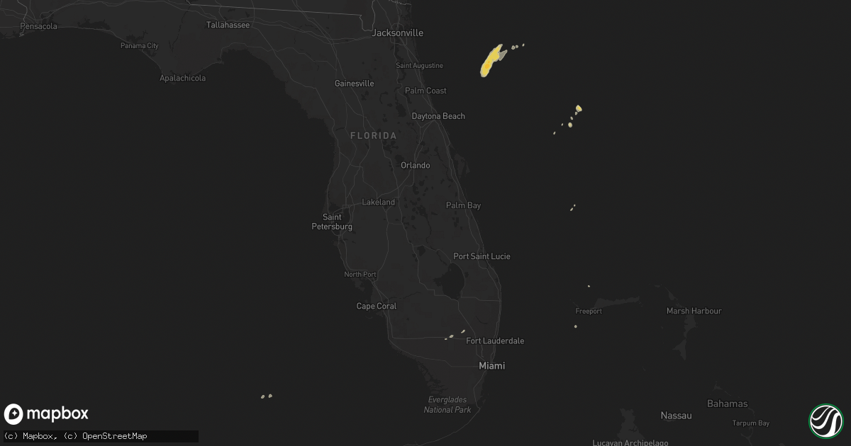
Hail Map on March 6, 2014
Get this storm
March 6 map
$229
one time, instant access
Download today. No call, no setup
Keep the $229
Bought the map and want the full workflow? Apply the entire $229 to a subscription within 7 days. None of it is wasted.
Every map, not just this one
This buys you this map. Subscription and you get every map we run, in the markets you choose from a few cities to whole states to nationwide. Plus real-time alerts the moment a storm fires.
Contact data
Name, contact info, occupancy, even credit band for addresses in the footprint. You go from where it hit to who to call.
Become the source they trust
Unlimited branding weather history reports on demand. You already have the documented answer ready for the property owner, and you are the one who showed up with it.
Property data and RoofTrace estimates
Pull up any address you have got, its value and the exact code rules for that jurisdiction, straight from One Click Code. Then RoofTrace estimates the squares, pitch, and roof value, priced the way you price.
States Impacted by Hail Map on March 6, 2014
Storm reports
Florida
| Date | Description |
|---|---|
| 03/06/20142:15 PM CST | Downed tree along south university drive near the grand oaks golf course. |
| 03/06/20142:14 PM CST | Weatherbug mesonet site reported a wind gust of 59 mph. |
| 03/06/20142:10 PM CST | Delray beach fire department estimated wind gusts up to 65 mph. Also reported that several tree branches fell on a townhome causing minor damage. |
| 03/06/20142:01 PM CST | Weatherbug mesonet site atop a multi-story building reported a wind gust of 70 mph. |
| 03/06/20142:00 PM CST | Multiple branches down on home in pines village. |
| 03/06/20141:51 PM CST | Weatherbug mesonet site reported a wind gust of 60 mph. |
| 03/06/20141:50 PM CST | Tree branches of 10 inches diameter also down. |
| 03/06/20141:50 PM CST | Member of the public estimated wind gust of 60 mph and also reported power outages in the boca raton area. |
| 03/06/20141:00 PM CST | Pea sized hail and 60 mph winds along interstate 75 near miccosukee indian reservation. |
| 03/06/201412:29 PM CST | A thunderstorm wind gust of 58 mph was recorded at the weatherbug station at immokalee |
| 03/06/201412:15 PM CST | Estimated 45 mph wind. Free standing outhouse knocked over on its side. Small palm tree with wood braces blown over. And broken frond from a 15 foot palm tree. |
| 03/06/201412:00 PM CST | Several feet diameter tree branch downed near collier county government center. |
| 03/06/201411:38 AM CST | Public reports tornado touchdown with flying debris near hana ave. And hanley rd. |
| 03/06/201411:15 AM CST | Several large branches down. Fence and shed damaged. Location estimated between largo and belleair. |
| 03/06/201411:05 AM CST | Public report with picture via social media of tornadic waterspout moving onshore at indian shores. |