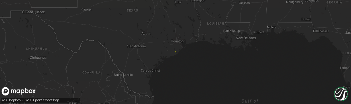
Hail Map on March 5, 2017
The weather event on March 5, 2017 includes Hail map. 1 state and 3 cities were impacted and suffered possible damage. The total estimated number of properties impacted is 41.
Want more than just the map?
Turn this storm into a full workflow.
- Owner + property data so you know who to knock
- OnDemand branded weather history reports to win the "did we even have hail?" argument
- RoofTrace estimate so reps stop guessing numbers at the door
Bought this map? Upgrade within 7 days and we'll credit the $230. (10-15 min setup call)
Hail
41
Estimated number of impacted properties by a 1.00" hail or larger0
Estimated number of impacted properties by a 1.75" hail or larger0
Estimated number of impacted properties by a 2.50" hail or largerStates Impacted by Hail Map on March 5, 2017
Storm reports
Oklahoma
| Date | Description |
|---|---|
| 03/05/201712:40 AM CST | A local report indicates 64 MPH wind near 2 SW WILBURTON |
Arkansas
| Date | Description |
|---|---|
| 03/05/201712:00 AM CST | Large tree limbs and branches downed by thunderstorm winds. Highway 12 blocked by small tree downed by high winds. |
Missouri
| Date | Description |
|---|---|
| 03/05/201712:20 AM CST | Minor damage to a business located on county road 1820 and highway 63 in the community of olden. Roofing was blown off building and electric wire pulled from building. |