Hail Map on March 2, 2024
Get this storm
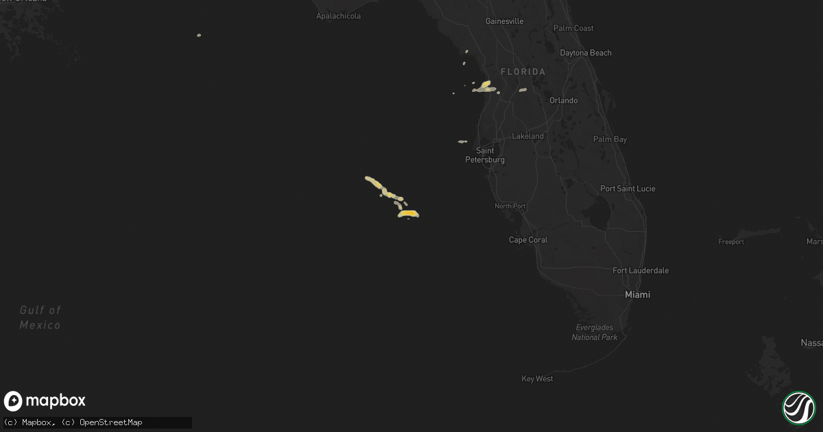
March 2 map
$229
one time, instant access
Download today. No call, no setup
Keep the $229
Bought the map and want the full workflow? Apply the entire $229 to a subscription within 7 days. None of it is wasted.
Every map, not just this one
This buys you this map. Subscription and you get every map we run, in the markets you choose from a few cities to whole states to nationwide. Plus real-time alerts the moment a storm fires.
Contact data
Name, contact info, occupancy, even credit band for addresses in the footprint. You go from where it hit to who to call.
Become the source they trust
Unlimited branding weather history reports on demand. You already have the documented answer ready for the property owner, and you are the one who showed up with it.
Property data and RoofTrace estimates
Pull up any address you have got, its value and the exact code rules for that jurisdiction, straight from One Click Code. Then RoofTrace estimates the squares, pitch, and roof value, priced the way you price.
Storm reports
Idaho
| Date | Description |
|---|---|
| 03/02/202411:23 AM CST | Mesonet station gasi1 gas caves. |
| 03/02/20248:54 AM CST | Mesonet station pbui1 potter butte. |
Utah
| Date | Description |
|---|---|
| 03/02/20242:55 PM CST | Report of a tree down in springville. Size of tree unknown. |
| 03/02/20242:06 PM CST | According to media reports... A tree has gone down on power lines from high winds in the area of lindsay park causing a power outage in brigham city. |
| 03/02/20241:20 PM CST | Mesonet station pc111 ogden canyon. |
| 03/02/20241:10 PM CST | Mesonet station pc124 crow mountain. |
| 03/02/20241:02 PM CST | Asos station kogd ogden-hinckley airport. |
| 03/02/202412:55 PM CST | Awos station kbmc brigham city rgnl airport. |
| 03/02/202412:50 PM CST | Mesonet station hatut hat island. |
| 03/02/202412:50 PM CST | Mesonet station freut fremont island - miller hill. |
| 03/02/202412:40 PM CST | Mesonet station pc123 murrays hill. |
| 03/02/202412:40 PM CST | Mesonet station pc123 murray's hill. |
| 03/02/202412:30 PM CST | Mesonet station utelb us-89 at east layton bench. |
| 03/02/202412:19 PM CST | Mesonet station up068 marsh. |
| 03/02/202412:10 PM CST | Mesonet station gni gunnison island. |
| 03/02/202411:50 AM CST | Mesonet station utkno i-80 at mp 40 knolls. |
| 03/02/202411:50 AM CST | Mesonet station uttim i-80 at mp 79 timpie. |
| 03/02/202411:45 AM CST | Mesonet station dpg17 interstate 80. |
| 03/02/202411:40 AM CST | Mesonet station ut33 i-80 at mp 29. |
| 03/02/202410:33 AM CST | Video showing tree falling in draper. Time estimated. |
Cities Impacted by Hail Map on March 2, 2024
- Wendover, UT
- Grouse Creek, UT
- Dugway, UT
- Smithfield, UT
- Wellsville, UT
- Cache Junction, UT
- Corinne, UT
- Garland, UT
- Honeyville, UT
- Logan, UT
- Bear River City, UT
- Snowville, UT
- Ogden, UT
- Brigham City, UT
- Tremonton, UT
- Grantsville, UT
- Collinston, UT
- Hyde Park, UT
- Deweyville, UT
- Mendon, UT
- Fielding, UT
- Riverside, UT
- Howell, UT
- Portage, UT
- Plymouth, UT
- Franklin, ID
- Cornish, UT
- Weston, ID
- Richmond, UT
- Preston, ID
- Lewiston, UT
- Clarkston, UT
- Newton, UT
- Trenton, UT
- Providence, UT
- Millville, UT
- Willard, UT
- Paradise, UT
- Mantua, UT
- Hyrum, UT
- Roy, UT
- Huntsville, UT
- Eden, UT
- Magna, UT
- Hooper, UT
- Hill Afb, UT
- Morgan, UT
- Clearfield, UT
- Syracuse, UT
- Layton, UT
- Kaysville, UT
- Farmington, UT
- Centerville, UT
- Center Hill, FL
- Bushnell, FL
- Sumterville, FL
- Cedar Key, FL
- Brooksville, FL
- Homosassa, FL
- Lecanto, FL