Hail Map on February 25, 2015
Get this storm
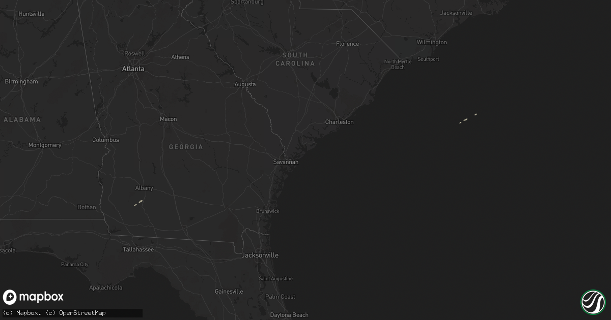
February 25 map
$229
one time, instant access
Download today. No call, no setup
Keep the $229
Bought the map and want the full workflow? Apply the entire $229 to a subscription within 7 days. None of it is wasted.
Every map, not just this one
This buys you this map. Subscription and you get every map we run, in the markets you choose from a few cities to whole states to nationwide. Plus real-time alerts the moment a storm fires.
Contact data
Name, contact info, occupancy, even credit band for addresses in the footprint. You go from where it hit to who to call.
Become the source they trust
Unlimited branding weather history reports on demand. You already have the documented answer ready for the property owner, and you are the one who showed up with it.
Property data and RoofTrace estimates
Pull up any address you have got, its value and the exact code rules for that jurisdiction, straight from One Click Code. Then RoofTrace estimates the squares, pitch, and roof value, priced the way you price.
States Impacted by Hail Map on February 25, 2015
Storm reports
Florida
| Date | Description |
|---|---|
| 02/25/20151:10 AM CST | A tree fell on an apartment complex in the 1000 block of sw 62nd blvd causing a water main break and damaging 6 apartments. |
| 02/25/201512:25 AM CST | A couple of trees reported down on a dirt road in rural northwest part of county. Time estimated from radar. |
| 02/25/201512:10 AM CST | Trees down in the old town area |
| 02/25/201512:05 AM CST | Columbia county 911/dispatch reports several trees downed throughout the county...including one impacting the intersection of elim church road and southwest centerville |
| 02/25/201512:00 AM CST | Trees down in the cross city area |
| 02/24/201511:40 PM CST | Trees down in the jena area |
| 02/24/201511:30 PM CST | Several trees down across lafayette county |
| 02/24/201510:30 PM CST | 911 dispatch and suwannee county emergency management report trees and powerlines downed by strong wind gusts throughout the northern half of the county. Pea sized hail |
| 02/24/201510:15 PM CST | Tree down on powerlines on highway 98 west |
| 02/24/201510:00 PM CST | Trees down on highway 221 north. |
| 02/24/20159:45 PM CST | Multiple trees and powerlines down in taylor county. |
| 02/24/20159:45 PM CST | Multiple trees and powerlines down in taylor county. |
| 02/24/20159:30 PM CST | Trained spotter reports one tree downed along with large branches in jennings. |
| 02/24/20159:05 PM CST | Tree down on us 90 |
| 02/24/20158:45 PM CST | Tree down at mt. Olive rd and wyoming ave. |
| 02/24/20158:25 PM CST | Tree down on us 90. |
| 02/24/20158:15 PM CST | Trees down near lamont |
| 02/24/20158:15 PM CST | Tree down on us 90 |
| 02/24/20158:00 PM CST | Large pine tree down at waukeenah highway and highway 59. |
| 02/24/20158:00 PM CST | Downed trees causing power outages. |
| 02/24/20157:50 PM CST | Several trees and powerlines down around wakulla county. |
| 02/24/20157:30 PM CST | Tree down on wire at old st. Augustine rd and southwood plantation rd. |