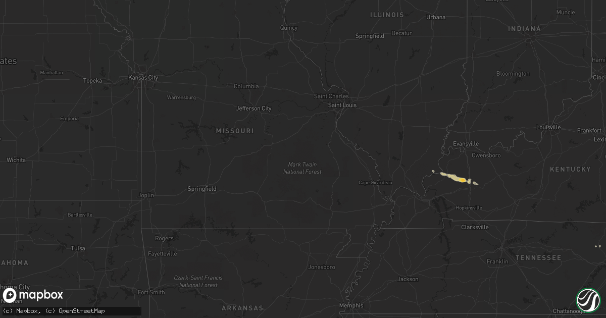
Hail Map on February 22, 2012
Get this storm
February 22 map
$229
one time, instant access
Download today. No call, no setup
Keep the $229
Bought the map and want the full workflow? Apply the entire $229 to a subscription within 7 days. None of it is wasted.
Every map, not just this one
This buys you this map. Subscription and you get every map we run, in the markets you choose from a few cities to whole states to nationwide. Plus real-time alerts the moment a storm fires.
Contact data
Name, contact info, occupancy, even credit band for addresses in the footprint. You go from where it hit to who to call.
Become the source they trust
Unlimited branding weather history reports on demand. You already have the documented answer ready for the property owner, and you are the one who showed up with it.
Property data and RoofTrace estimates
Pull up any address you have got, its value and the exact code rules for that jurisdiction, straight from One Click Code. Then RoofTrace estimates the squares, pitch, and roof value, priced the way you price.
States Impacted by Hail Map on February 22, 2012
Storm reports
Kentucky
| Date | Description |
|---|---|
| 02/22/20124:40 PM CST | Quarter sized hail. |
| 02/21/201211:23 PM CST | Quarter to golf ball size hail - s part of madisonville. Lot of lightning. Heavy rain. |
| 02/21/201210:30 PM CST | A local report indicates 1.00 inch wind near MATTOON |
North Carolina
| Date | Description |
|---|---|
| 02/22/201212:47 AM CST | Numerous large limbs blown down |
| 02/22/201212:35 AM CST | One tree down blocking one lane fo traffic on dabnam road near nc 97. |
| 02/21/201211:15 PM CST | One tree blown down on mckee road |
| 02/21/201211:15 PM CST | Tree down at lee layne road and foushee road |
| 02/21/201211:15 PM CST | Tree down at pleasant ridge church road and roundleaf road |
| 02/21/201211:10 PM CST | Tree down at southmont drive and virgil hill road |
| 02/21/201211:10 PM CST | Tree down at 3668 nc highway 49 |
| 02/21/201211:05 PM CST | Tree down at sunset avenue and dixon street |
| 02/21/201210:50 PM CST | Tree down at alamance chruch road and foust road |
| 02/21/201210:40 PM CST | Tree down on a house on fernwood drive... No injuries |
| 02/21/201210:25 PM CST | Tree down at highway 220 and highway 158 |
Tennessee
| Date | Description |
|---|---|
| 02/21/20128:20 PM CST | Quarter sized hail...reported by spotter. |
| 02/21/20127:50 PM CST | Trees down near jonesborough...reported by highway department. |
| 02/21/20127:23 PM CST | Quarter sized hail in northwest bradley county...reported by highway department. |
| 02/21/20127:18 PM CST | Three to four trees down in rogersville. |
| 02/21/20127:18 PM CST | Trees down near blaine...reported by highway department. |
| 02/21/20126:50 PM CST | Quarter sized hail...reported by public. |
| 02/21/20126:40 PM CST | Trees down near tazewell...reported by highway department. |
| 02/21/20126:25 PM CST | One tree down on pine crest rd...reported by dispatch. |
Montana
| Date | Description |
|---|---|
| 02/22/20124:04 PM CST | Downed power lines |
Florida
| Date | Description |
|---|---|
| 02/22/20125:04 PM CST | Power lines down on plato ave. Near orange blossom trail and i-4. |
| 02/22/20124:54 PM CST | Power lines down in sky lake subdivision near orange blossom trail and sand lake rd. |
| 02/22/20124:50 PM CST | 10 inch diameter tree limbs down near conway rd. And underhill rd. |
Georgia
| Date | Description |
|---|---|
| 02/21/201211:15 PM CST | Madison county 911 relayed first responder report of nickle to quarter sized hail in the seagraves mill road area near the madison-jackson county line. |
| 02/21/201210:57 PM CST | Public reported quarter size hail in jefferson. |
| 02/21/201210:45 PM CST | Public reported nickel to quarter size hail occurred for approximately ten minutes in the oakwood area. |
| 02/21/201210:45 PM CST | Jackson county 911 relayed a report of a downed tree onto a fence off hwy 60 near the jackson-hall county line. |
| 02/21/20129:15 PM CST | An ef-1 tornado touched down in floyd county around 1015 pm time estimated just west of the maplewood subdivision in rome. The tornado traveled 3.25 miles...with a maxi |
| 02/21/20129:15 PM CST | Floyd county 911 relayed reports of several downed trees and powerlines resulting in power outages to the kingston highway and freeman ferry road area. Additional damag |
| 02/21/20129:12 PM CST | An ef-1 tornado touched down in floyd county around 1012 pm time estimated just west of the maplewood subdivision in rome. The tornado traveled 3.25 miles...with a maxi |