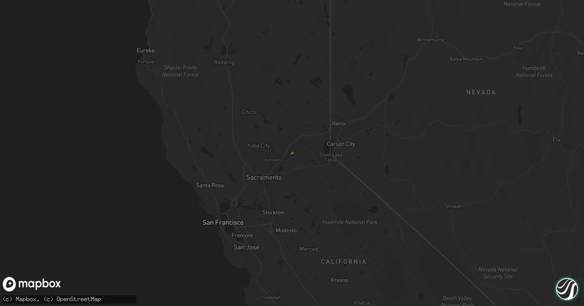
Hail Map on February 19, 2024
Get this storm
February 19 map
$229
one time, instant access
Download today. No call, no setup
Keep the $229
Bought the map and want the full workflow? Apply the entire $229 to a subscription within 7 days. None of it is wasted.
Every map, not just this one
This buys you this map. Subscription and you get every map we run, in the markets you choose from a few cities to whole states to nationwide. Plus real-time alerts the moment a storm fires.
Contact data
Name, contact info, occupancy, even credit band for addresses in the footprint. You go from where it hit to who to call.
Become the source they trust
Unlimited branding weather history reports on demand. You already have the documented answer ready for the property owner, and you are the one who showed up with it.
Property data and RoofTrace estimates
Pull up any address you have got, its value and the exact code rules for that jurisdiction, straight from One Click Code. Then RoofTrace estimates the squares, pitch, and roof value, priced the way you price.
States Impacted by Hail Map on February 19, 2024
Storm reports
California
| Date | Description |
|---|---|
| 02/19/20244:58 PM CST | Trees down across roadway. |
| 02/19/20242:25 PM CST | California highway patrol reported a large tree branch in the southbound lane of s. Clovis ave. Near the intersection of e. Butler ave. |
| 02/18/202411:34 PM CST | Corrects previous tstm wnd dmg report from 2 nnw calistoga. Large portion of tree leaning against utility lines. Tubbs lane at hwy 29. Relayed via chp. Time estimated f |
| 02/18/202411:27 PM CST | Large portion of tree leaning against utility lines. Tubbs lane at hwy 29. Relayed via chp. Time estimated from radar. |
| 02/18/20246:26 PM CST | Tree down in roadway... 3 foot in diameter. Sr 236 and china grade road. |