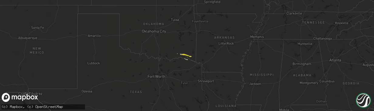
Hail Map on February 7, 2013
The weather event on February 7, 2013 includes Hail map. 2 states and 12 cities were impacted and suffered possible damage. The total estimated number of properties impacted is 2,337.
Want more than just the map?
Turn this storm into a full workflow.
- Owner + property data so you know who to knock
- OnDemand branded weather history reports to win the "did we even have hail?" argument
- RoofTrace estimate so reps stop guessing numbers at the door
Bought this map? Upgrade within 7 days and we'll credit the $230. (10-15 min setup call)
Hail
2,337
Estimated number of impacted properties by a 1.00" hail or larger0
Estimated number of impacted properties by a 1.75" hail or larger0
Estimated number of impacted properties by a 2.50" hail or largerStorm reports
Oklahoma
| Date | Description |
|---|---|
| 02/07/20135:52 PM CST | Mostly pea to dime size hail |
| 02/07/20135:52 PM CST | Several trees blown down |
| 02/07/20135:48 PM CST | Windows blown out of vehicle and trailer from large hail |
Florida
| Date | Description |
|---|---|
| 02/07/201310:52 AM CST | Possible waterspout moved onshore. Strong winds caused damage to poolside furniture. |