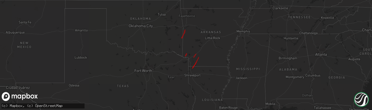
Hail Map on February 5, 2013
The weather event on February 5, 2013 includes Hail map. 4 states and 26 cities were impacted and suffered possible damage. The total estimated number of properties impacted is 0.
Want more than just the map?
Turn this storm into a full workflow.
- Owner + property data so you know who to knock
- OnDemand branded weather history reports to win the "did we even have hail?" argument
- RoofTrace estimate so reps stop guessing numbers at the door
Bought this map? Upgrade within 7 days and we'll credit the $230. (10-15 min setup call)
Hail
0
Estimated number of impacted properties by a 1.00" hail or larger7,171
Estimated number of impacted properties by a 1.75" hail or larger0
Estimated number of impacted properties by a 2.50" hail or largerStorm reports
Texas
| Date | Description |
|---|---|
| 02/04/201310:20 PM CST | Zapata county sheriffs office reports quarter-size hail fell in the community of ramireno. |
| 02/04/201310:16 PM CST | Trained skywarn spotter reports golfball size hail at the zapata county airport. |
Cities Impacted by Hail Map on February 5, 2013
- Zapata, TX
- Hebbronville, TX
- Guerra, TX
- San Ygnacio, TX
- Laredo, TX
- Ashdown, AR
- Prescott, AR
- Emmet, AR
- Hope, AR
- Taylor, AR
- Stamps, AR
- Lewisville, AR
- Plain Dealing, LA
- Bradley, AR
- Buckner, AR
- Willisville, AR
- Waldo, AR
- Rosston, AR
- Waldron, AR
- Huntington, AR
- Mena, AR
- Mansfield, AR
- Greenwood, AR
- Hodgen, OK
- Heavener, OK
- Hartford, AR