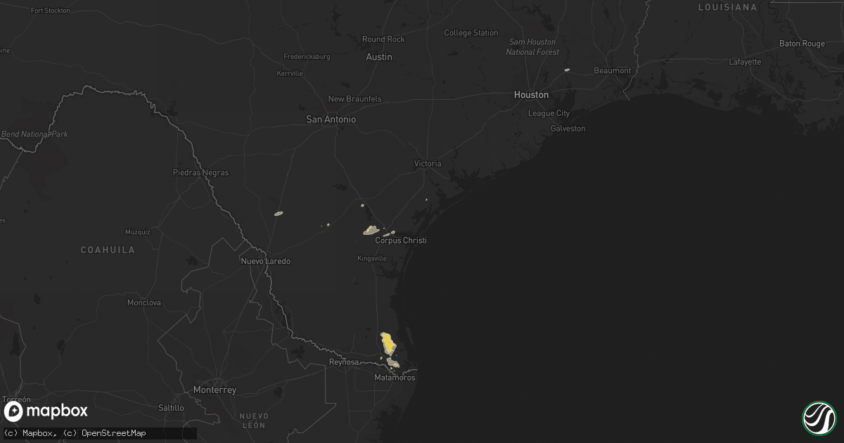
Hail Map on February 4, 2012
Get this storm
February 4 map
$229
one time, instant access
Download today. No call, no setup
Keep the $229
Bought the map and want the full workflow? Apply the entire $229 to a subscription within 7 days. None of it is wasted.
Every map, not just this one
This buys you this map. Subscription and you get every map we run, in the markets you choose from a few cities to whole states to nationwide. Plus real-time alerts the moment a storm fires.
Contact data
Name, contact info, occupancy, even credit band for addresses in the footprint. You go from where it hit to who to call.
Become the source they trust
Unlimited branding weather history reports on demand. You already have the documented answer ready for the property owner, and you are the one who showed up with it.
Property data and RoofTrace estimates
Pull up any address you have got, its value and the exact code rules for that jurisdiction, straight from One Click Code. Then RoofTrace estimates the squares, pitch, and roof value, priced the way you price.
States Impacted by Hail Map on February 4, 2012
Storm reports
Alabama
| Date | Description |
|---|---|
| 02/03/20126:25 PM CST | Several limbs down along with one tree uprooted at dogwood circle and rush road. The fallen tree also caused fence and roof damage. |
Louisiana
| Date | Description |
|---|---|
| 02/04/201211:05 AM CST | Storm spotter in washington la called to report that an aluminum car cover was blown off its foundation as the line of storms moved through. |
| 02/04/201210:48 AM CST | Storm spotter in washington la called to report that an aluminum car cover was blown off its foundation as the line of storms moved through. |
| 02/04/20128:51 AM CST | Allen parish sheriff reports multiple trees down on whitaker rd and hwy 112 with a few limbs down in the surrounding areas. |
| 02/04/20128:00 AM CST | Tornado touched down 5 miles southwest of de ridder and traveled east resulting in damage to trees...barn damage on granberry road...and carport awning damage. Path len |
| 02/04/20128:00 AM CST | Tornado touched down 5 miles southwest of de ridder and traveled east resulting in damage to trees...barn damage on granberry road with portions of the roof thrown 0.4 |