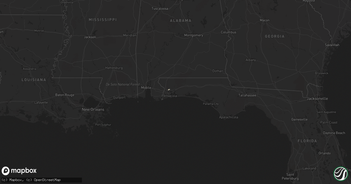
Hail Map on February 3, 2016
Get this storm
February 3 map
$229
one time, instant access
Download today. No call, no setup
Keep the $229
Bought the map and want the full workflow? Apply the entire $229 to a subscription within 7 days. None of it is wasted.
Every map, not just this one
This buys you this map. Subscription and you get every map we run, in the markets you choose from a few cities to whole states to nationwide. Plus real-time alerts the moment a storm fires.
Contact data
Name, contact info, occupancy, even credit band for addresses in the footprint. You go from where it hit to who to call.
Become the source they trust
Unlimited branding weather history reports on demand. You already have the documented answer ready for the property owner, and you are the one who showed up with it.
Property data and RoofTrace estimates
Pull up any address you have got, its value and the exact code rules for that jurisdiction, straight from One Click Code. Then RoofTrace estimates the squares, pitch, and roof value, priced the way you price.
States Impacted by Hail Map on February 3, 2016
Storm reports
North Carolina
| Date | Description |
|---|---|
| 02/03/201612:35 PM CST | Tree down on powerlines at 5900 block of highway 64 west. Time estimated by radar. |
| 02/03/201612:25 PM CST | Tree down on a house on mountain view street. Time estimated by radar. |
| 02/03/201612:25 PM CST | Reports of trees down or large branches down on wayside drive...step everhart road...upper lake road and lower lake road. Time estimated. Report from wghp. |
| 02/03/201612:20 PM CST | Multiple trees down in the pilot area. Some trees on homes. Time estimated. |
| 02/03/201612:20 PM CST | Tree down on a house at 3200 block of mountainview street. |
| 02/03/201612:20 PM CST | Tree down in the road on u.s. 64 west. |
| 02/03/201612:10 PM CST | Trees reported down or large branches down in the country club or hosital area of lexington. Reports from tussy road....cherokee drive...suppena drive and hospital driv |
| 02/03/201612:00 PM CST | Numerous tree limbs down...up to 6 to 7 inch diameter. |
| 02/03/201612:00 PM CST | Tree down on building on the 1100 block of hickory point drive. Report from wghp. |
| 02/03/201611:35 AM CST | 5 living trees down...lots of dead trees blown down. |
| 02/03/201611:35 AM CST | Few trees down. |
| 02/03/201611:30 AM CST | Tree down on ardsley road and at sugar creek before nevin road. |
| 02/03/201611:30 AM CST | Few trees down. |
| 02/03/201611:20 AM CST | Two trees down...one on west trade street. |
Georgia
| Date | Description |
|---|---|
| 02/03/20164:01 PM CST | Fort stewart emergency management reported a tornado touched down near gate 7 in fort stewart around 501 pm and remained on the ground for approximately 10 minutes as i |
| 02/03/201611:52 AM CST | Trees and power lines down reported in grovetown area. |
South Carolina
| Date | Description |
|---|---|
| 02/03/20161:57 PM CST | Trees in roadway congress rd and old leesburg rd. Time est by radar. |
| 02/03/20161:31 PM CST | Rotation/reports of funnel cloud 3200 block old charleston hwy. |
| 02/03/20161:31 PM CST | Rotation/reports of funnel cloud 3200 block old charleston hwy. |
| 02/03/20161:28 PM CST | Brief ef0 tornado touchdown just north of farmers market. Path length .6 miles. Path width 50-75 yards. Several cars damaged/destroyed in car storage lot. Couple of tre |
| 02/03/20161:00 PM CST | Trees in roadway connie wright road and koon road |
| 02/03/201612:51 PM CST | Nws storm survey confirmed microburst with 70 mph winds. Vehicle trailer blown over... Power lines down... Wind damage to tractor trailer truck hoods. Damage to an outbuild ( |