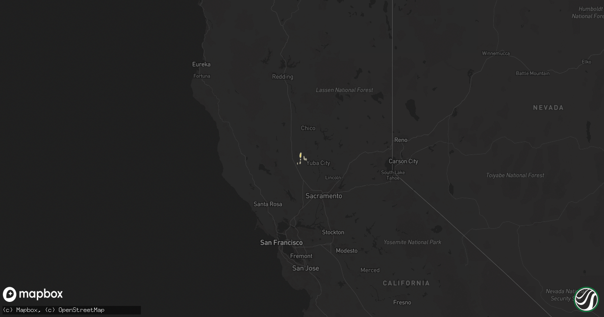
Hail Map on February 2, 2019
Get this storm
February 2 map
$229
one time, instant access
Download today. No call, no setup
Keep the $229
Bought the map and want the full workflow? Apply the entire $229 to a subscription within 7 days. None of it is wasted.
Every map, not just this one
This buys you this map. Subscription and you get every map we run, in the markets you choose from a few cities to whole states to nationwide. Plus real-time alerts the moment a storm fires.
Contact data
Name, contact info, occupancy, even credit band for addresses in the footprint. You go from where it hit to who to call.
Become the source they trust
Unlimited branding weather history reports on demand. You already have the documented answer ready for the property owner, and you are the one who showed up with it.
Property data and RoofTrace estimates
Pull up any address you have got, its value and the exact code rules for that jurisdiction, straight from One Click Code. Then RoofTrace estimates the squares, pitch, and roof value, priced the way you price.
States Impacted by Hail Map on February 2, 2019
Storm reports
California
| Date | Description |
|---|---|
| 02/02/20195:55 PM CST | National weather service conducted storm survey and found that an ef0 tornado had touched down near ben hur road and beach road south of the city about 8 miles south of |
| 02/02/20195:38 PM CST | On february 2... 2019 there was a brief tornado touchdown at the sacramento river national wildlife refuge north of colusa. A weather spotter took a video of the touchd |
| 02/02/20195:31 PM CST | Per mariposa county sheriff... Reports of trees down in nearby roadways. |
| 02/01/20199:39 PM CST | At 336 PM PST, a severe thunderstorm was located over Colusa National Wildlife, or 13 miles southeast of Maxwell, moving northeast at 15 mph. HAZARD...Quarter size hail. SOURCE...Radar indicated. IMPACT...Damage to vehicles is expected. Locations impacted include... Colusa, Colusa National Wildlife, Sycamore and Meridian. |
| 02/01/20199:28 PM CST | At 328 PM PST, a severe thunderstorm was located near Bonadelle Ranchos-Madera Ranchos, or 9 miles northwest of Fresno, moving north at 30 mph. HAZARD...70 mph wind gusts and quarter size hail. SOURCE...Radar indicated. IMPACT...Hail damage to vehicles is expected. Expect considerable tree damage. Wind damage is also likely to mobile homes, roofs, and outbuildings. Locations impacted include... Fresno, Bonadelle Ranchos-Madera Ranchos, Friant and Millerton Lake. |
| 02/01/20199:13 PM CST | At 312 PM PST, a severe thunderstorm was located 11 miles northeast of Chowchilla, or 17 miles north of Madera, moving north at 35 mph. HAZARD...60 mph wind gusts and quarter size hail. SOURCE...Radar indicated. IMPACT...Hail damage to vehicles is expected. Expect wind damage to roofs, siding, and trees. Locations impacted include... Bootjack, Mariposa and Catheys Valley. |
| 02/01/20199:05 PM CST | At 301 PM PST, a severe rain squall was located along a line extending from near Vista to 20 miles west of Imperial Beach, moving east at 25 mph. This warning includes portions of the San Diego city limits. No thunder or lightning but severe winds are expected with heavy rain through 400 pm. HAZARD...Up to 60 mph wind gusts. SOURCE...Radar indicated. IMPACT...Expect damage to roofs, siding, and trees. Locations impacted include... Chula Vista, Carlsbad, Vista, Encinitas, National City, La Mesa, Poway, Imperial Beach, Coronado and Del Mar. |
| 02/01/20197:50 PM CST | National weather service meteorologists confirmed an ef0 tornado touched down at approximately 5:50 pm pst on saturday... February 2nd... Just south of yuba city... Ca. |
| 02/01/20197:30 PM CST | Tree and fence damage near carlson road and hutchinson road in yuba city. |