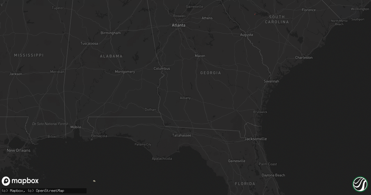
Hail Map on January 27, 2024
Get this storm
January 27 map
$229
one time, instant access
Download today. No call, no setup
Keep the $229
Bought the map and want the full workflow? Apply the entire $229 to a subscription within 7 days. None of it is wasted.
Every map, not just this one
This buys you this map. Subscription and you get every map we run, in the markets you choose from a few cities to whole states to nationwide. Plus real-time alerts the moment a storm fires.
Contact data
Name, contact info, occupancy, even credit band for addresses in the footprint. You go from where it hit to who to call.
Become the source they trust
Unlimited branding weather history reports on demand. You already have the documented answer ready for the property owner, and you are the one who showed up with it.
Property data and RoofTrace estimates
Pull up any address you have got, its value and the exact code rules for that jurisdiction, straight from One Click Code. Then RoofTrace estimates the squares, pitch, and roof value, priced the way you price.
States Impacted by Hail Map on January 27, 2024
Storm reports
Florida
| Date | Description |
|---|---|
| 01/27/20245:05 PM CST | Debris blew into a power line and resulted in a power outage along sam smith circle. |
| 01/27/20244:05 PM CST | Corrects time of previous tstm wnd dmg report from 2 wnw wakulla. Debris blew into a power line and resulted in a power outage along sam smith circle. |
| 01/27/20243:14 PM CST | Several power poles down. |
South Carolina
| Date | Description |
|---|---|
| 01/27/20242:48 PM CST | A national weather service storm survey team confirmed a brief ef-1 tornado with peak winds of 90 mph in northeast richland county near pontiac. The track of the tornad |
| 01/27/20242:47 PM CST | Richland county em reports a tree down on power line blocking roadway in the 500 block of kelly mill rd. Time estimated by radar. |
| 01/27/20247:49 AM CST | Newberry county sheriffs office reports a tree down on hwy 121 near sulphur springs rd. Time estimated from radar. |
| 01/26/20247:49 PM CST | Corrects previous tstm wnd dmg report from 2 se whitmire. Newberry county sheriffs office reports a tree down on hwy 121 near sulphur springs rd. Time estimated from ra |
| 01/26/20247:23 PM CST | Corrects date from previous report. A nws survey team discovered a downed tree blocking tostie creek rd. And a second downed tree in an adjacent field. Time estimated b |
| 01/26/20247:19 PM CST | A national weather service storm survey team confirmed a brief ef-1 tornado with peak winds of 100 mph saturday evening in northern saluda county. The length of the tor |
| 01/26/20247:18 PM CST | Saluda county emergency manager reported wind damage on hunters lane at blue spring road. Damage to home and tree reported down. Time estimated by radar. |
| 01/26/20246:31 PM CST | Several large limbs down about 2 miles north of kirksey. |