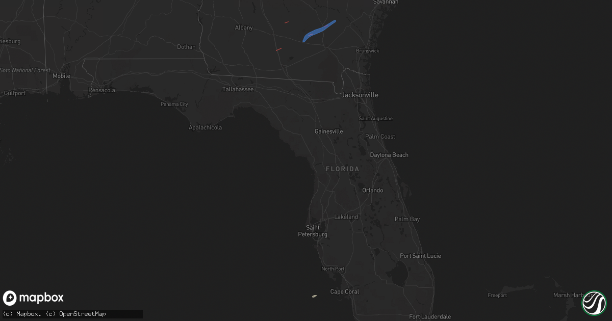
Hail Map on January 22, 2023
Get this storm
January 22 map
$229
one time, instant access
Download today. No call, no setup
Keep the $229
Bought the map and want the full workflow? Apply the entire $229 to a subscription within 7 days. None of it is wasted.
Every map, not just this one
This buys you this map. Subscription and you get every map we run, in the markets you choose from a few cities to whole states to nationwide. Plus real-time alerts the moment a storm fires.
Contact data
Name, contact info, occupancy, even credit band for addresses in the footprint. You go from where it hit to who to call.
Become the source they trust
Unlimited branding weather history reports on demand. You already have the documented answer ready for the property owner, and you are the one who showed up with it.
Property data and RoofTrace estimates
Pull up any address you have got, its value and the exact code rules for that jurisdiction, straight from One Click Code. Then RoofTrace estimates the squares, pitch, and roof value, priced the way you price.
States Impacted by Hail Map on January 22, 2023
Storm reports
Georgia
| Date | Description |
|---|---|
| 01/22/20235:52 PM CST | Tree down on a truck in downtown odum. Time estimated by radar. |
| 01/22/20235:49 PM CST | Tree down across the road on highway 169 near crossroads country store. Time estimated by radar. |
| 01/22/20235:48 PM CST | Corrects previous tstm wnd dmg report from 5 n new lacy. Reports from social media... Bacon county 911 dispatch of tornado touch down in bacon county ne of alma... Ga o |
| 01/22/20235:41 PM CST | Severe structure damage/trees down reported by em in coffee county along hwy 158 se of douglas. Suspected damage may be tornado related. Time is based off radar. |
| 01/22/20235:32 PM CST | Delayed report. Survey crews estimated an ef-1 tornado touched down in bacon county northwest of alma ga and tracked 7 mile northeastward into appling county. Start tim |
| 01/22/20235:25 PM CST | Tree down near 5195 pikes pond road. |
| 01/22/20235:11 PM CST | Delayed report. A survey crew has estimated an ef-1 tornado touched down across southeastern coffee county. Damage along the path included a portion of sheet metal roof |
| 01/22/20235:08 PM CST | Tree down on bell telephone rd. Time estimated by radar. |
| 01/22/20235:02 PM CST | Traffic light and power lines down on rt 441 near quail ln. Time estimated by radar. |
| 01/22/20234:47 PM CST | A few trees down near teeterville road. |
| 01/22/20234:43 PM CST | Tree limbs were blown down onto a few roads in the quitman area. |
| 01/22/20234:21 PM CST | Damage reported with tds signature. |
| 01/22/20233:45 PM CST | Trees down along west bypass near national beef. |
| 01/22/20233:37 PM CST | Trees down along myron hall road. |
| 01/22/20233:35 PM CST | Trees down along bay rockford road. |
| 01/21/20237:43 PM CST | Reports from social media... Bacon county 911 dispatch of tornado touch down in bacon county ne of alma... Ga on whip-poor-will way. Trees/power lines down. |
| 01/21/20236:35 PM CST | Power lines fell onto a tree which sparked a small fire along the 800 block of east oxford lane. Time was estimated via radar data. |
Florida
| Date | Description |
|---|---|
| 01/22/20235:10 PM CST | A couple of trees were blown down... One on highway 53 north. |
| 01/22/20234:35 PM CST | Fallen trees and limbs resulted in a power outage near the intersection of waukeenah highway and highway 19. |
| 01/22/20234:09 PM CST | Fallen trees and limbs resulted in a power outage via duke energy outage map. |
| 01/22/202311:46 AM CST | Several trees down in the area of ashley hall road and bob biller road. Possible tornado. |
| 01/22/202311:45 AM CST | Ef1 tornado confirmed by storm survey. |
| 01/21/20237:56 PM CST | Delayed report - a 74 mph wind gust was measured by the automated surface observing station at jacksonville international airport. |
| 01/21/20237:53 PM CST | Photos shared by media of fence and roof damage on woodbridge parkway in nassauville. Also confirmed by emergency management. Time estimated by radar. |