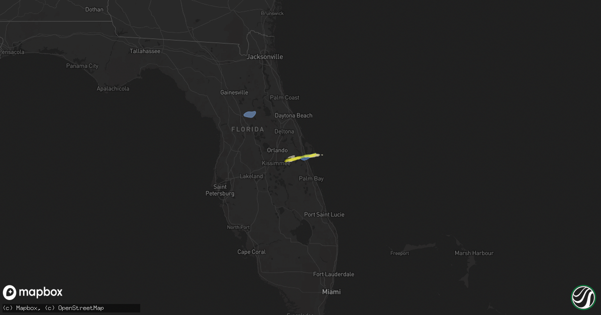
Hail Map on January 19, 2025
Get this storm
January 19 map
$229
one time, instant access
Download today. No call, no setup
Keep the $229
Bought the map and want the full workflow? Apply the entire $229 to a subscription within 7 days. None of it is wasted.
Every map, not just this one
This buys you this map. Subscription and you get every map we run, in the markets you choose from a few cities to whole states to nationwide. Plus real-time alerts the moment a storm fires.
Contact data
Name, contact info, occupancy, even credit band for addresses in the footprint. You go from where it hit to who to call.
Become the source they trust
Unlimited branding weather history reports on demand. You already have the documented answer ready for the property owner, and you are the one who showed up with it.
Property data and RoofTrace estimates
Pull up any address you have got, its value and the exact code rules for that jurisdiction, straight from One Click Code. Then RoofTrace estimates the squares, pitch, and roof value, priced the way you price.
States Impacted by Hail Map on January 19, 2025
Storm reports
Florida
| Date | Description |
|---|---|
| 01/19/202512:45 PM CST | Ussf wind sensor on tower 3 measured a wind gust of 59mph/51kt from the west on january 19 at 1:45 pm et. Sensor elevation is 54 feet. |
| 01/19/202512:40 PM CST | Ussf wind sensor on tower 303 measured a wind gust of 66mph/57kt from the west on january 19 at 1:40 pm et. Sensor elevation is 54 feet. |
| 01/19/202512:40 PM CST | [delayed report] the awos at the cape canaveral space force station skid strip |
| 01/19/202512:30 PM CST | A member of the public reported hail up to an inch in the merritt island area. |
| 01/19/202512:30 PM CST | A member of the public reported 1 inch hail in the merritt island area. |
| 01/19/202512:24 PM CST | An nws employee measured one inch hail near i-95 and sr-528. |
| 01/19/202512:24 PM CST | An nws employee reported 60 mph winds near i-95 and sr-528. |
| 01/19/202512:15 PM CST | [delayed report] wind damage reported at maplewood village mobile home park. Some homes had carports ripped off and siding damage. |
| 01/19/20257:20 AM CST | Large sign knocked over/damaged in flagler beach. Several gusts between 45 and 52 mph were also measured in the area. Time estimated. |
| 01/19/20257:15 AM CST | Corrects previous tstm wnd dmg report from 1 n flagler beach. Large sign knocked over/damaged in flagler beach. Several gusts between 45 and 52 mph were also measured i |
| 01/19/20257:10 AM CST | Delayed report of several small trees and large branches down near belle terre pkwy in palm coast. Time estimated. |
| 01/19/20256:33 AM CST | 65 mph wind gust reported near nw 62nd ave and nw 53rd street rd in ocala. |
| 01/19/20256:15 AM CST | A few reports of trees down near northwest 152nd lane and around 11000 block of northwest 60th avenue. Time estimated from radar. |
| 01/19/20256:05 AM CST | St. Johns county fire/rescue reports a tree downed on a home due to strong wind gusts... Along with damage to trees and power lines in the vicinity of hastings. Time of |
| 01/19/20256:02 AM CST | Delayed report - public report of damaging wind gusts that damaged a mobile home... Downed trees... Damaged out buildings and a well head. Time of damage based on radar |
| 01/19/20256:01 AM CST | Putnam county emergency management reports downed trees... A damaged shed... And damage to a residents porch along federal point road in east palatka. Time of damage ba |