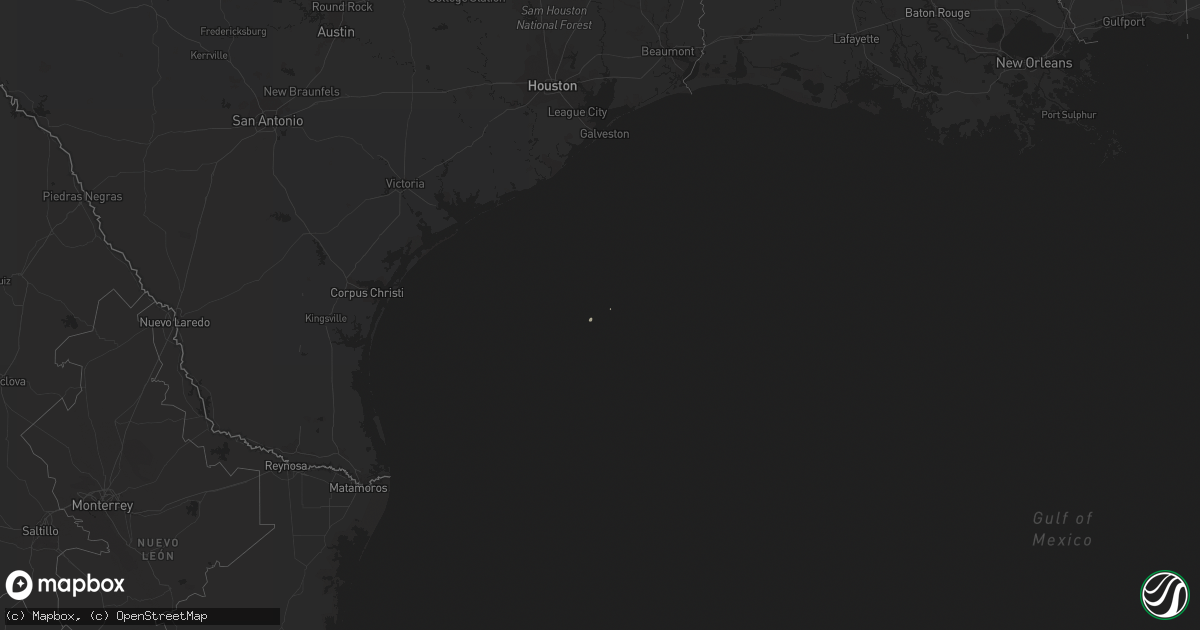
Hail Map on January 19, 2017
Get this storm
January 19 map
$229
one time, instant access
Download today. No call, no setup
Keep the $229
Bought the map and want the full workflow? Apply the entire $229 to a subscription within 7 days. None of it is wasted.
Every map, not just this one
This buys you this map. Subscription and you get every map we run, in the markets you choose from a few cities to whole states to nationwide. Plus real-time alerts the moment a storm fires.
Contact data
Name, contact info, occupancy, even credit band for addresses in the footprint. You go from where it hit to who to call.
Become the source they trust
Unlimited branding weather history reports on demand. You already have the documented answer ready for the property owner, and you are the one who showed up with it.
Property data and RoofTrace estimates
Pull up any address you have got, its value and the exact code rules for that jurisdiction, straight from One Click Code. Then RoofTrace estimates the squares, pitch, and roof value, priced the way you price.
States Impacted by Hail Map on January 19, 2017
Storm reports
Alabama
| Date | Description |
|---|---|
| 01/19/20175:58 PM CST | A brief weak tornado spun up along the shores of logan martin lake near cropwell. Several boathouses were damaged or destroyed and numerous trees were snapped or uproot |
Mississippi
| Date | Description |
|---|---|
| 01/19/20174:24 PM CST | Powerlines downed on springhill rd in clinton. Two semis entangled in lines when they fell on i-20. |
| 01/19/20178:13 AM CST | 1 home on country rd 540 2a has roof damage and trees down on their car. |
| 01/19/20178:00 AM CST | Roof damage at a home on county rd 110. |
| 01/19/20177:55 AM CST | Trees were blown down in the georgetown area. Report via social media. |
| 01/19/20177:53 AM CST | *** 1 inj *** nws survey team discovered ef2 damage associated with a confirmed tornado that touched down 3 e of magee in simpson county and traveled 19.2 miles into sm |
| 01/19/20177:51 AM CST | Trees were blown down between magee and mize along highway 28. Picture relayed via social media. |
| 01/19/20177:50 AM CST | Womack rd near hwy 28 trees down. Picture posted on social media. |
| 01/19/20177:30 AM CST | Highway 556 south of highway 98 is blocked due to trees in the road. |
| 01/19/20176:55 AM CST | Trees were blown down in the georgetown area. Report via social media. |
| 01/19/20176:23 AM CST | Barn totally destroyed along anderson road. Some tree debris. Possible tornado. |