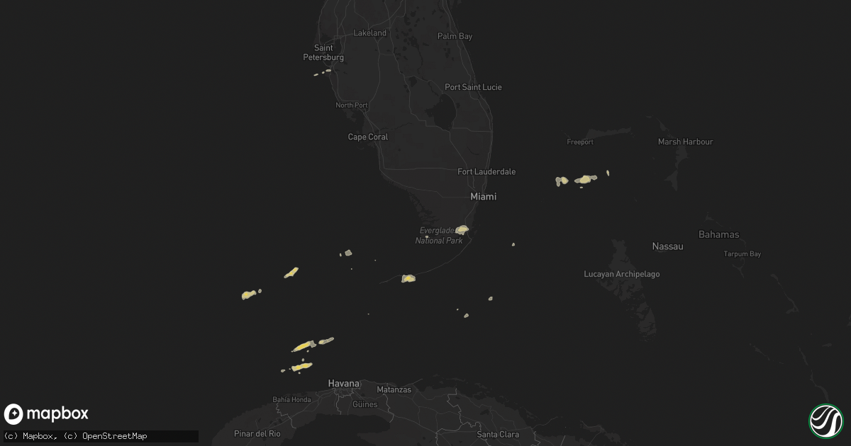
Hail Map on January 17, 2011
Get this storm
January 17 map
$229
one time, instant access
Download today. No call, no setup
Keep the $229
Bought the map and want the full workflow? Apply the entire $229 to a subscription within 7 days. None of it is wasted.
Every map, not just this one
This buys you this map. Subscription and you get every map we run, in the markets you choose from a few cities to whole states to nationwide. Plus real-time alerts the moment a storm fires.
Contact data
Name, contact info, occupancy, even credit band for addresses in the footprint. You go from where it hit to who to call.
Become the source they trust
Unlimited branding weather history reports on demand. You already have the documented answer ready for the property owner, and you are the one who showed up with it.
Property data and RoofTrace estimates
Pull up any address you have got, its value and the exact code rules for that jurisdiction, straight from One Click Code. Then RoofTrace estimates the squares, pitch, and roof value, priced the way you price.
States Impacted by Hail Map on January 17, 2011
Storm reports
Florida
| Date | Description |
|---|---|
| 01/17/20114:16 PM CST | Electrical lines confirmed down at the 1600 block of seminary street in the city of key west. |
| 01/17/20113:54 PM CST | Electrical lines were reported down by a member of the public near the intersection of simonton and fleming st in the city of key west. |
| 01/17/201110:13 AM CST | Observer reported rotating funnel with debris cloud west of the intersection of fay blvd and i-95. This is a correction to the location of the previous storm report. |
| 01/17/201110:13 AM CST | Observer reported rotating funnel with debris cloud near the intersection of fay blvd and i-95. |
| 01/17/20119:20 AM CST | 60mph wind gusts blew cars off road along palma sola causeway/manatee ave w. Dime sized hail also reported. |