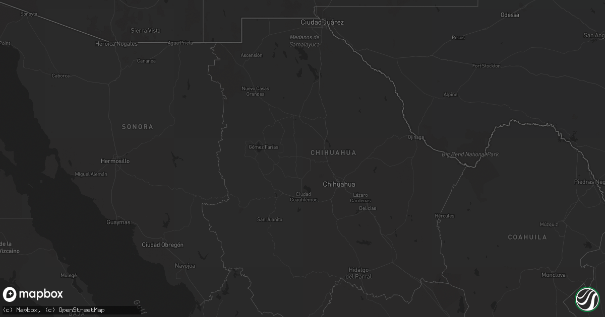
Hail Map on January 6, 2016
Get this storm
January 6 map
$229
one time, instant access
Download today. No call, no setup
Keep the $229
Bought the map and want the full workflow? Apply the entire $229 to a subscription within 7 days. None of it is wasted.
Every map, not just this one
This buys you this map. Subscription and you get every map we run, in the markets you choose from a few cities to whole states to nationwide. Plus real-time alerts the moment a storm fires.
Contact data
Name, contact info, occupancy, even credit band for addresses in the footprint. You go from where it hit to who to call.
Become the source they trust
Unlimited branding weather history reports on demand. You already have the documented answer ready for the property owner, and you are the one who showed up with it.
Property data and RoofTrace estimates
Pull up any address you have got, its value and the exact code rules for that jurisdiction, straight from One Click Code. Then RoofTrace estimates the squares, pitch, and roof value, priced the way you price.
States Impacted by Hail Map on January 6, 2016
Storm reports
California
| Date | Description |
|---|---|
| 01/06/20165:30 PM CST | Roof collapsed at the fedex building in miramar. |
| 01/06/20165:30 PM CST | Large eucalyptus tree uprooted at brotherton road and felicitas road in escondido. |
| 01/06/20165:15 PM CST | Update to previous storm report...15 trees snapped or uprooted near poway road and sabre springs road...with some being as large as 18 inches in diameter. |
| 01/06/20165:15 PM CST | Strong winds in poway toppled a tree which fell onto a car. |
| 01/06/20165:11 PM CST | Highway 1 closed at pismo state beach for several downed power lines. |
| 01/06/20165:10 PM CST | Strong thunderstorms winds damaged 8 buildings and downed power lines in vista. Possible tornado. |
| 01/06/20164:59 PM CST | 20 foot tree blocking fortuna ranch road |
| 01/06/20164:55 PM CST | Wind gust of 62 mph. |
| 01/06/20163:30 PM CST | Sections of a barn roof removed by strong winds. |
| 01/06/20163:05 PM CST | 60 mph wind gust at fremont canyon raws station in the santa ana foothills. |
| 01/06/20161:40 PM CST | Several trees knocked over closing waters road. |
| 01/06/201612:58 PM CST | A local report indicates 58 MPH wind near 5 WNW SIMI VALLEY |
| 01/06/201612:56 PM CST | Tree down blocking highway 126 |
| 01/06/201612:25 PM CST | A small tornado touched down in rural ventura county near the unincorporated area of bardsdale... Ca. Damage was not continuous and confined mainly to trees and fences. A (lo |
| 01/06/201610:50 AM CST | Ef-0 tornado touched down near the highway 152-highway 156 interchange... Approximately 7 miles north of hollister. There was intermittent damage along a 1 mile path... Inc ( |
| 01/06/20169:14 AM CST | Double wide trailor blown off foundation. |