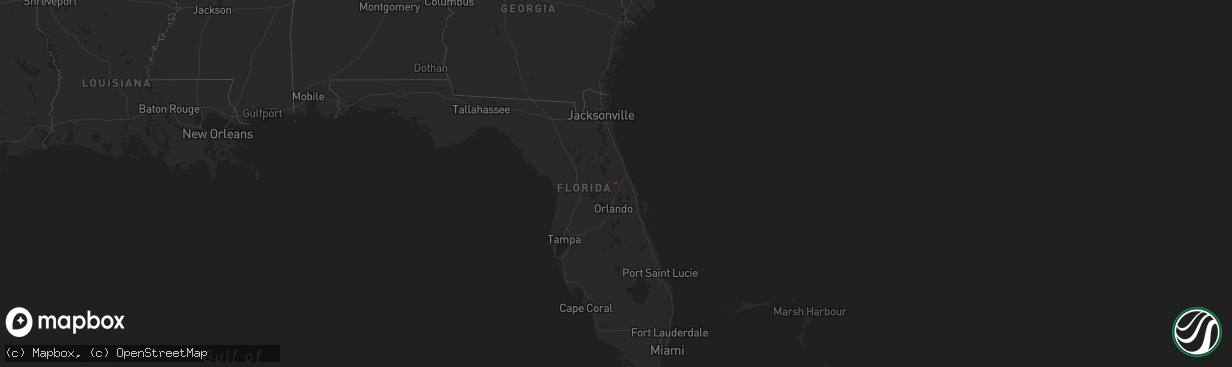
Hail Map on January 4, 2020
The weather event on January 4, 2020 includes Tornado map. 2 states and 2 cities were impacted and suffered possible damage. The total estimated number of properties impacted is 0.
Want more than just the map?
Turn this storm into a full workflow.
- Owner + property data so you know who to knock
- OnDemand branded weather history reports to win the "did we even have hail?" argument
- RoofTrace estimate so reps stop guessing numbers at the door
Bought this map? Upgrade within 7 days and we'll credit the $230. (10-15 min setup call)
Tornado
0
Estimated number of impacted properties by a 1.00" hail or larger0
Estimated number of impacted properties by a 1.75" hail or larger0
Estimated number of impacted properties by a 2.50" hail or largerStorm reports
Florida
| Date | Description |
|---|---|
| 01/04/202010:30 AM CST | Volusia county sheriff office reported roof damage to a building. General public also reported watching a small tornado touching down causing power lines to go down nea |
| 01/04/20209:40 AM CST | Lake county sheriff relayed a report of a brief tornado causing roof damage to a home at holiday travel resort. |
| 01/04/20205:16 AM CST | At 1115 AM EST, a severe thunderstorm was located near Paisley, moving northeast at 35 mph. HAZARD...60 mph wind gusts and a brief tornado. SOURCE...Radar indicated. IMPACT...Expect damage to roofs, siding, and trees. Locations impacted include... Deltona, DeLand, Orange City, Lake Helen and DeLand Airport. |