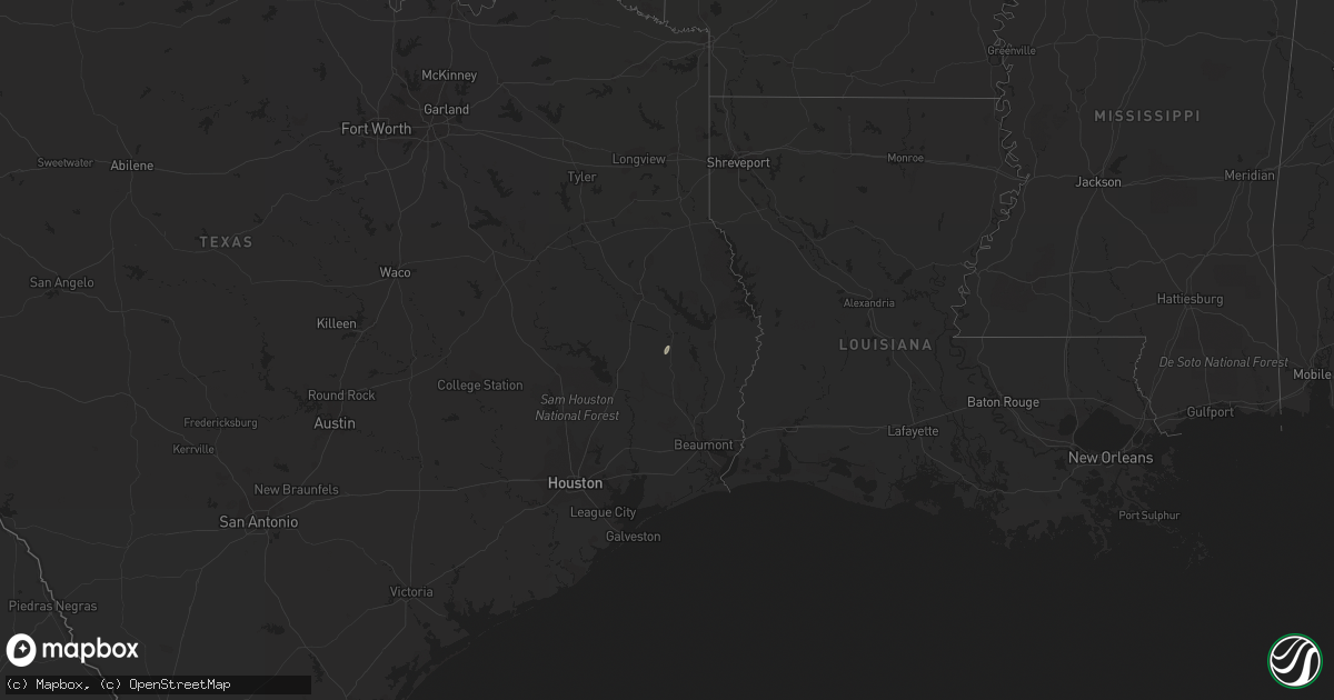
Hail Map on January 2, 2015
Get this storm
January 2 map
$229
one time, instant access
Download today. No call, no setup
Keep the $229
Bought the map and want the full workflow? Apply the entire $229 to a subscription within 7 days. None of it is wasted.
Every map, not just this one
This buys you this map. Subscription and you get every map we run, in the markets you choose from a few cities to whole states to nationwide. Plus real-time alerts the moment a storm fires.
Contact data
Name, contact info, occupancy, even credit band for addresses in the footprint. You go from where it hit to who to call.
Become the source they trust
Unlimited branding weather history reports on demand. You already have the documented answer ready for the property owner, and you are the one who showed up with it.
Property data and RoofTrace estimates
Pull up any address you have got, its value and the exact code rules for that jurisdiction, straight from One Click Code. Then RoofTrace estimates the squares, pitch, and roof value, priced the way you price.
States Impacted by Hail Map on January 2, 2015
Storm reports
Texas
| Date | Description |
|---|---|
| 01/02/20153:20 AM CST | Tree down on a power line at the intersection of highway 96 and fm 201. |
| 01/02/20153:15 AM CST | Trees reported down along higway 96 near browndell. |
Louisiana
| Date | Description |
|---|---|
| 01/02/20155:40 AM CST | Sheriff office reports part of roof blown off house...two utility poles down...and one large tree down on tidwell road. |
| 01/02/20155:15 AM CST | 2 trees blown down on highway 126 in sikes. The roof was also blown off of a carport in sikes. |
| 01/02/20154:55 AM CST | One tree was blown down on highwat 1228 off of highway 34. |
| 01/02/20154:30 AM CST | Public reports trees and power lines down at corner of williams and henry ave. |
| 01/02/20154:25 AM CST | Power lines down at the intersection of highway 71 and highway 9 in campti. |
| 01/02/20154:05 AM CST | A trained spotter received reports through social media of several trees down on holly grove road west of robeline. |
| 01/02/20153:55 AM CST | Trees down across roads across the central and southern portions of sabine parish. |
| 01/02/20153:40 AM CST | Sheriff office reports numerous trees and power lines down across the city of minden and across the southern half of the parish. |
| 01/02/20153:25 AM CST | Sheriff office reports numerous trees down across bossier city and soutthern bossier parish. |
| 01/02/20153:20 AM CST | Numerous trees down in the savannah place subdivision. Stop signs completely bent over. A train crossing arms were bent over and leaning on a power line along barksdale |
| 01/02/20153:15 AM CST | A portion of the exterior wall was torn off of the dollarmania store on east bert kouns. |
| 01/02/20153:15 AM CST | Numerous trees and power lines down across the central and northern parts of the parish...between mansfield and stonewall. |
| 01/02/20153:15 AM CST | Trees down on colquitt road just southwest of the shreveport city limits...near the derrick and woolworth road. |