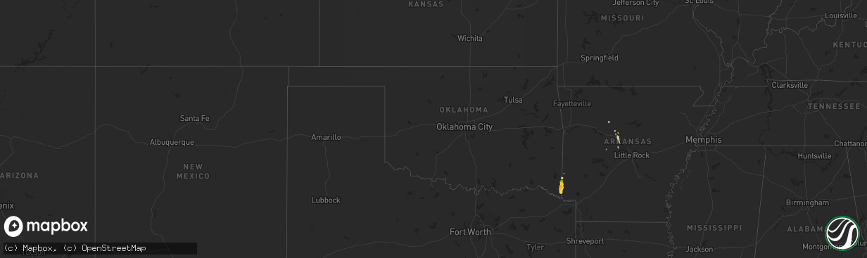
Hail Map in Oklahoma on April 29, 2024
The weather event in Oklahoma on April 29, 2024 includes Wind and Hail maps. 6 states and 51 cities were impacted and suffered possible damage. The total estimated number of properties impacted is 43.
Wind
Hail
43
Estimated number of impacted properties by a 1.00" hail or larger0
Estimated number of impacted properties by a 1.75" hail or larger0
Estimated number of impacted properties by a 2.50" hail or largerStorm reports in Oklahoma
Oklahoma
| Date | Description |
|---|---|
| 04/29/20246:51 PM CDT | Hail reported on shinewell road in far southeast mccurtain county... Oklahoma. |
| 04/29/20246:41 PM CDT | Hail reported near the intersection of sevier and little river counties in southwest arkansas and mccurtain county in southeast oklahoma. |
Cities Impacted by Hail Map on April 29, 2024
- Marshall, TX
- Shreveport, LA
- Waskom, TX
- Greenwood, LA
- Midway, TX
- Huntsville, TX
- Madisonville, TX
- Bedias, TX
- Jacksonville, TX
- Rusk, TX
- Henderson, TX
- Reklaw, TX
- Laneville, TX
- Boyce, LA
- Alexandria, LA
- Pineville, LA
- New City, NY
- Congers, NY
- Haverstraw, NY
- Valley Cottage, NY
- West Nyack, NY
- Nyack, NY
- Gillham, AR
- Dover, AR
- Hector, AR
- De Queen, AR
- Hattieville, AR
- Jerusalem, AR
- Eagletown, OK
- Grannis, AR
- Morrilton, AR
- Solgohachia, AR
- Winthrop, AR
- Haworth, OK
- Foreman, AR
- Plumerville, AR
- Falls City, TX
- Houston, AR
- Poth, TX
- Bigelow, AR
- Perryville, AR
- Middle Grove, NY
- Saratoga Springs, NY
- Gansevoort, NY
- Greenfield Center, NY
- Schuylerville, NY
- Mayfield, NY
- Creston, NE
- Leigh, NE
- Clarkson, NE
- Stanton, NE


